MyTopo
Manzano Peak New Mexico US Topo Map
Couldn't load pickup availability
Also explore the Manzano Peak Forest Service Topo of this same quad for updated USFS data
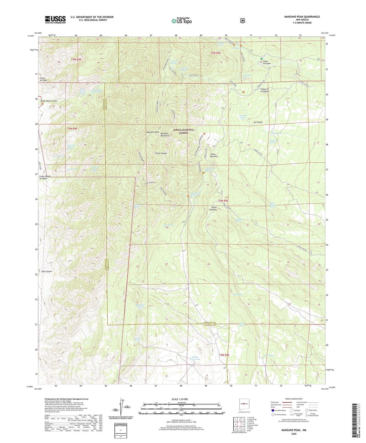
2023 topographic map quadrangle Manzano Peak in the state of New Mexico. Scale: 1:24000. Based on the newly updated USGS 7.5' US Topo map series, this map is in the following counties: Torrance, Valencia. The map contains contour data, water features, and other items you are used to seeing on USGS maps, but also has updated roads and other features. This is the next generation of topographic maps. Printed on high-quality waterproof paper with UV fade-resistant inks.
Quads adjacent to this one:
West: Tome SE
Northwest: Tome NE
North: Capilla Peak
Northeast: Torreon
East: Punta de Agua
Southeast: Abo
South: Scholle
Southwest: Becker
This map covers the same area as the classic USGS quad with code o34106e4.
Contains the following named places: Box Spring, Canon del Sapo, Canon Monte de Abajo, Canon Monte Largo, Cienigita Spring, Colorado Spring, Cottonwood Spring, Cottonwood Trailhead, Dirt Tank, Espinosa Spring, Five Mile Windmill, Grose Spring, House Spring, Kayser Mill Trail, Kayser Mill Trailhead, La Casa Spring, Little Kayser Spring, Lower Ox Spring, Manzano Peak, Monte De Abajo Spring, Monte Largo Spring, Monte Largo Trail, Monte Largo Trailhead, Monzano Creek Trail, No Name Spring, Ojo Barreras, Ojo La Cabra, Ox Canyon, Ox Canyon Trail, Ox Canyon Trailhead, Padilla Spring, Padilla Trick Tank, Pine Shadow Spring, Pine Shadow Trail, Pine Shadow Trailhead, Pipe Canyon, Priest Canyon Well, Rattlesnake Spring, Red Canyon Campground, Red Canyon Picnic Grounds, Red Canyon Trail, Red Canyon Trailhead, Red Canyon Windmill, Red Spring, Spruce Spring Trail, Thunderbird, Upper Monte Largo Spring, Upper Ojo Barreras Spring, Upper Ox Spring, Wild Cow Spring


