MyTopo
Milnesand NW New Mexico US Topo Map
Couldn't load pickup availability
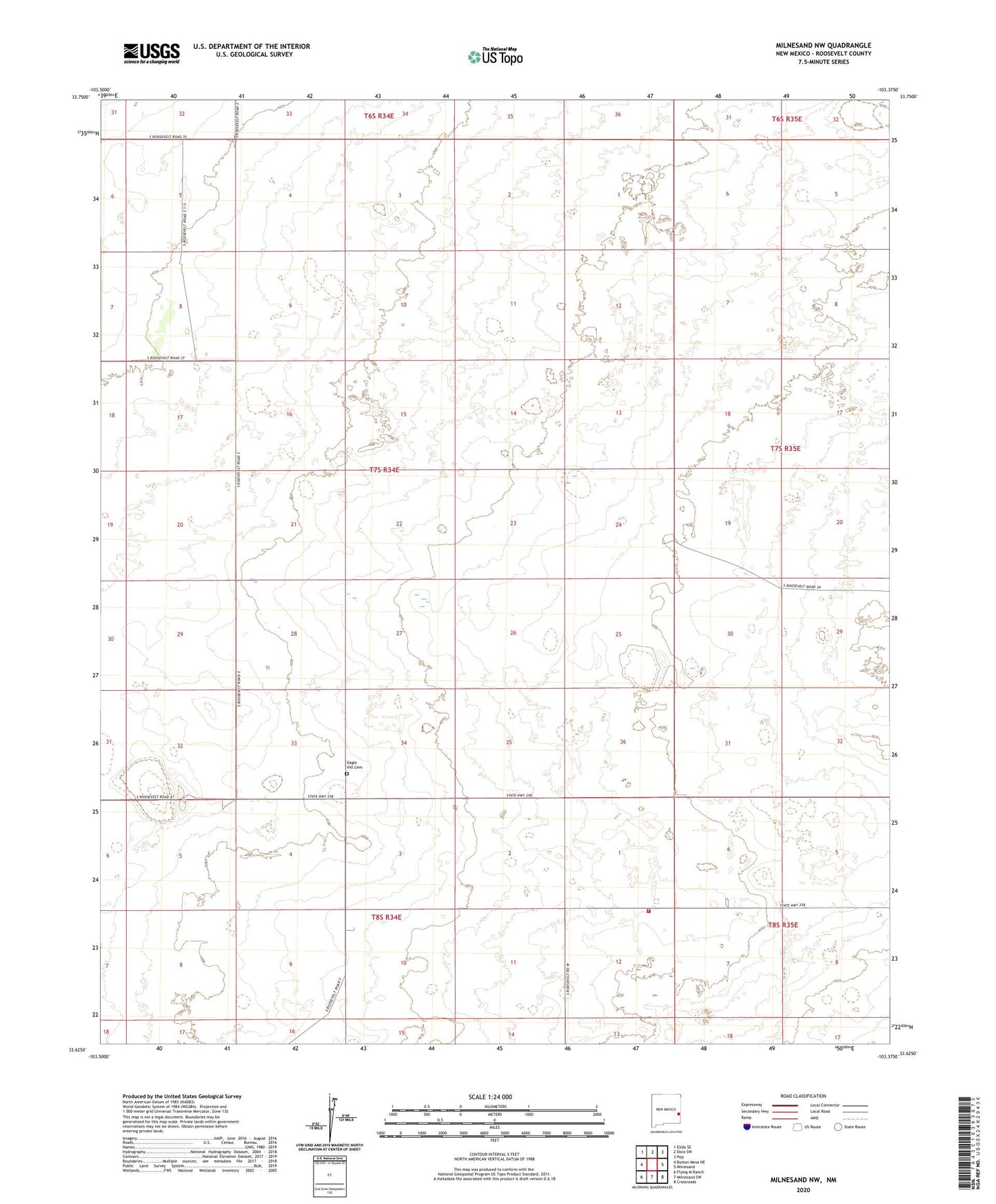
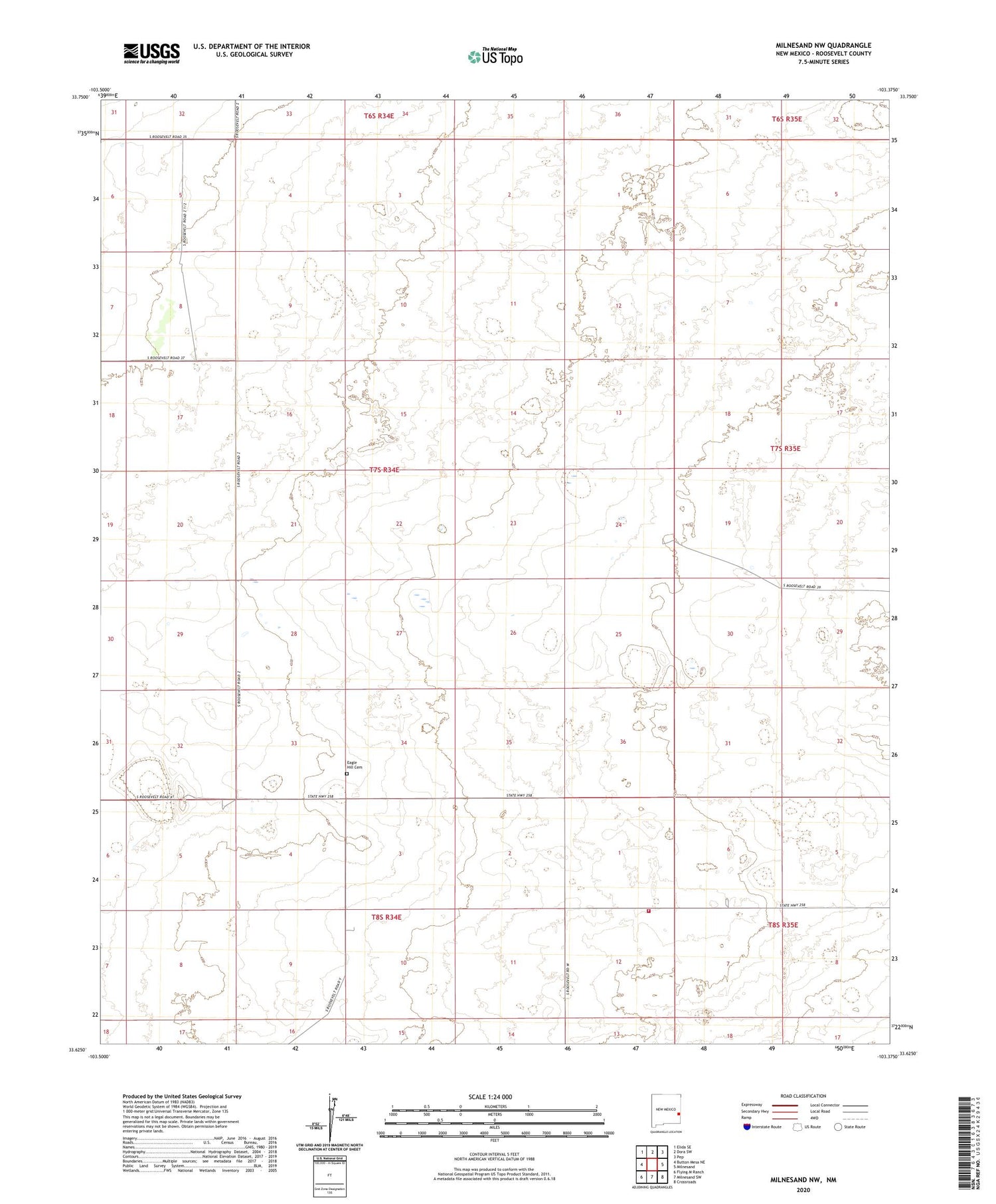
2020 topographic map quadrangle Milnesand NW in the state of New Mexico. Scale: 1:24000. Based on the newly updated USGS 7.5' US Topo map series, this map is in the following counties: Roosevelt. The map contains contour data, water features, and other items you are used to seeing on USGS maps, but also has updated roads and other features. This is the next generation of topographic maps. Printed on high-quality waterproof paper with UV fade-resistant inks.
Quads adjacent to this one:
West: Button Mesa NE
Northwest: Elida SE
North: Dora SW
Northeast: Pep
East: Milnesand
Southeast: Crossroads
South: Milnesand SW
Southwest: Flying M Ranch
Contains the following named places: 06221 Water Well, 06225 Water Well, 11508 Water Well, 11510 Water Well, 11511 Water Well, 11519 Water Well, 12549 Water Well, 12552 Water Well, 12553 Water Well, 12554 Water Well, 12555 Water Well, 12559 Water Well, 12573 Water Well, 12574 Water Well, 12575 Water Well, 12576 Water Well, 12577 Water Well, 12589 Water Well, Eagle Hill, Eagle Hill Cemetery, Eagle Hill Post Office, Milnesand Fire and Rescue Station 2