MyTopo
Mondel New Mexico US Topo Map
Couldn't load pickup availability
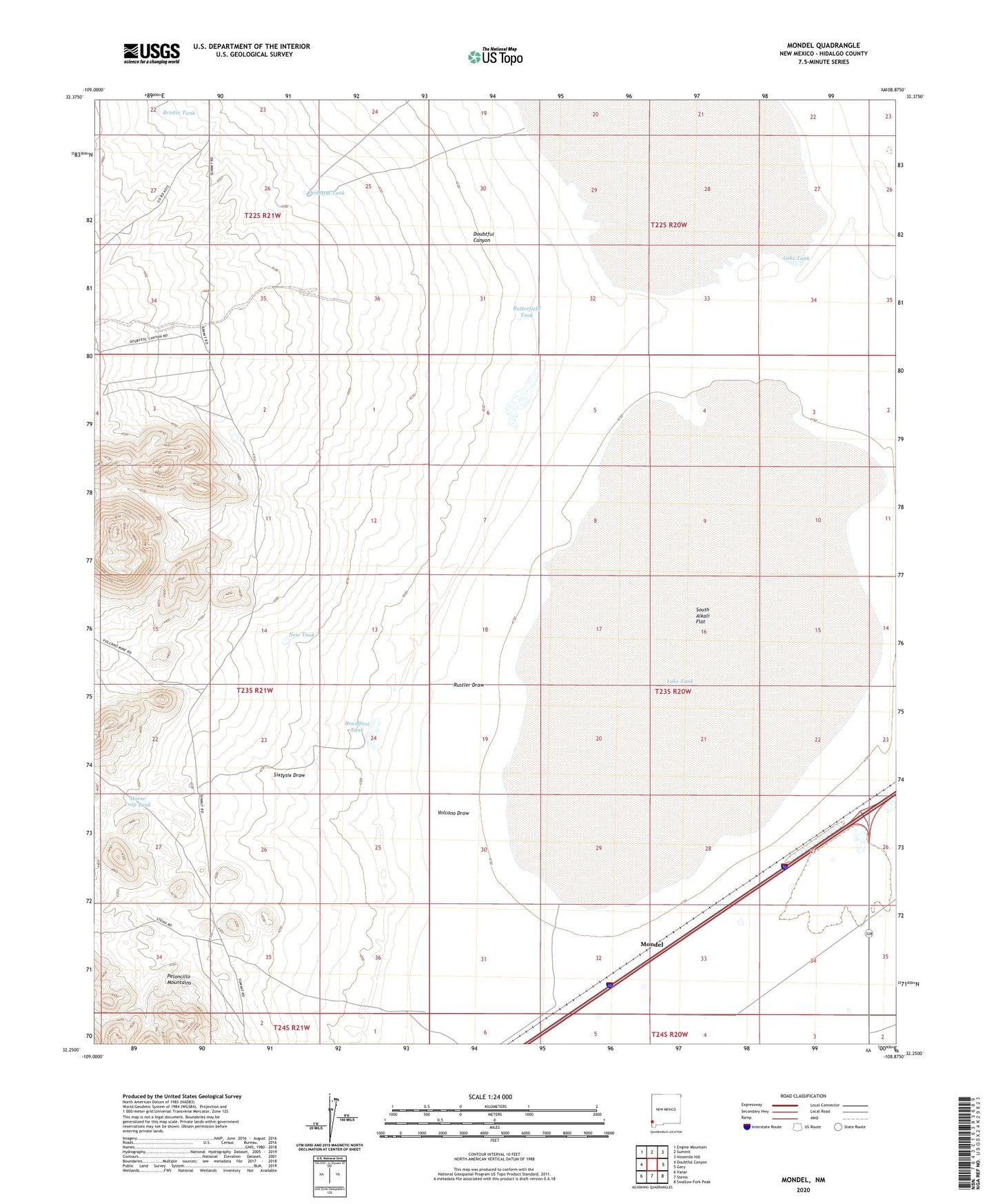
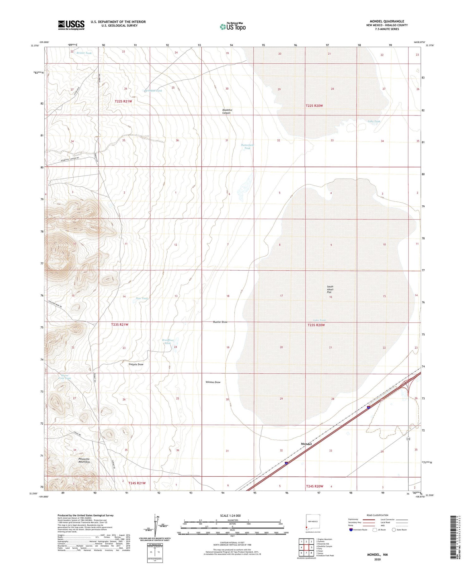
2020 topographic map quadrangle Mondel in the state of New Mexico. Scale: 1:24000. Based on the newly updated USGS 7.5' US Topo map series, this map is in the following counties: Hidalgo. The map contains contour data, water features, and other items you are used to seeing on USGS maps, but also has updated roads and other features. This is the next generation of topographic maps. Printed on high-quality waterproof paper with UV fade-resistant inks.
Quads adjacent to this one:
West: Doubtful Canyon
Northwest: Engine Mountain
North: Summit
Northeast: Ninemile Hill
East: Gary
Southeast: Swallow Fork Peak
South: Steins
Southwest: Vanar
Contains the following named places: Braidfoot Tank, Brister Tank, Butterfield Tank, Doubtful Tank, Horse Trap Tank, Kerr Ranch, Lake Tank, Mondel, New Tank, Robinson Windmill, Rustler Draw, Salt Well, Sixtysix Draw, South Alkali Flat, Unks Windmill, UNKS Windmill Water Well, Volcano Draw