MyTopo
Engine Mountain Arizona US Topo Map
Couldn't load pickup availability
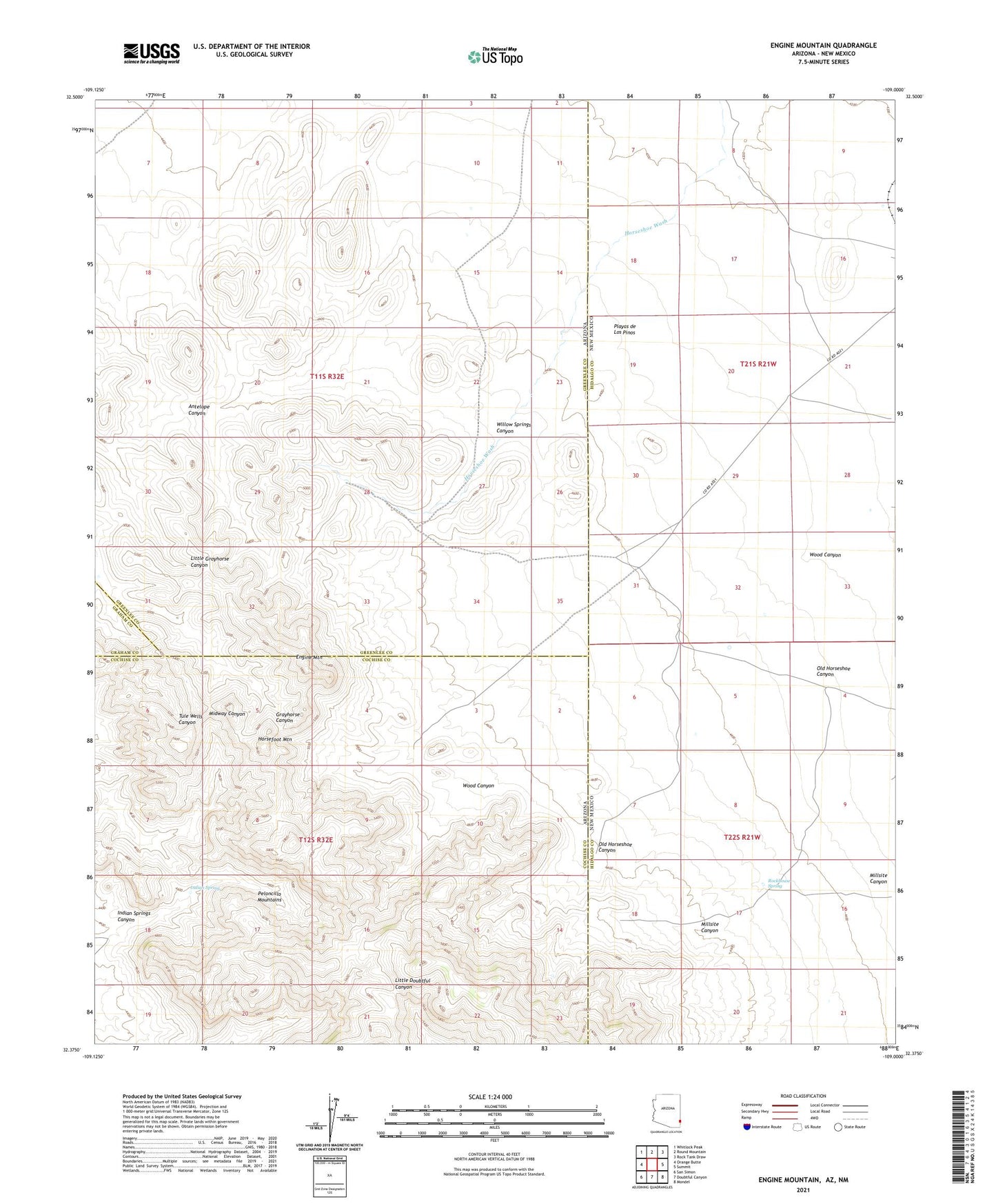
2021 topographic map quadrangle Engine Mountain in the states of Arizona, New Mexico. Scale: 1:24000. Based on the newly updated USGS 7.5' US Topo map series, this map is in the following counties: Cochise, Hidalgo, Greenlee, Graham. The map contains contour data, water features, and other items you are used to seeing on USGS maps, but also has updated roads and other features. This is the next generation of topographic maps. Printed on high-quality waterproof paper with UV fade-resistant inks.
Quads adjacent to this one:
West: Orange Butte
Northwest: Whitlock Peak
North: Round Mountain
Northeast: Rock Tank Draw
East: Summit
Southeast: Mondel
South: Doubtful Canyon
Southwest: San Simon
Contains the following named places: Engine Mountain, Horsefoot Mountain, Horseshoe Ranch, Indian Spring, Indian Springs Canyon, Millsite Canyon, Old Horseshoe Canyon, Peloncillo Mountains Wilderness Study Area, Playas de los Pinos, Playas de Los Pinos, Rockhouse Spring, Willow Springs Canyon, Willow Springs Ranch, Wood Canyon