MyTopo
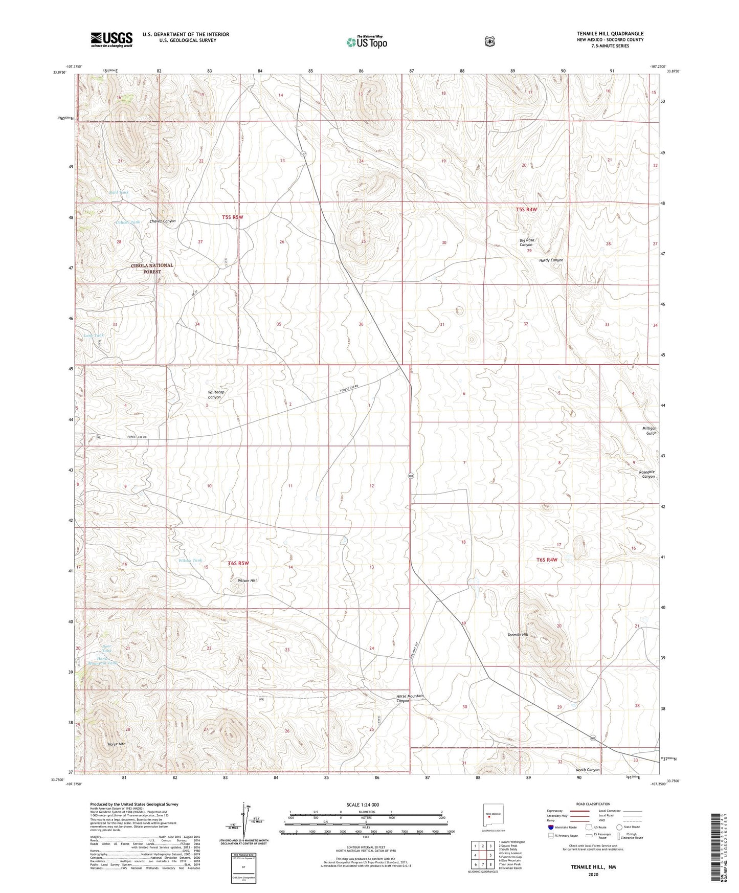
Tenmile Hill New Mexico US Topo Map
Couldn't load pickup availability
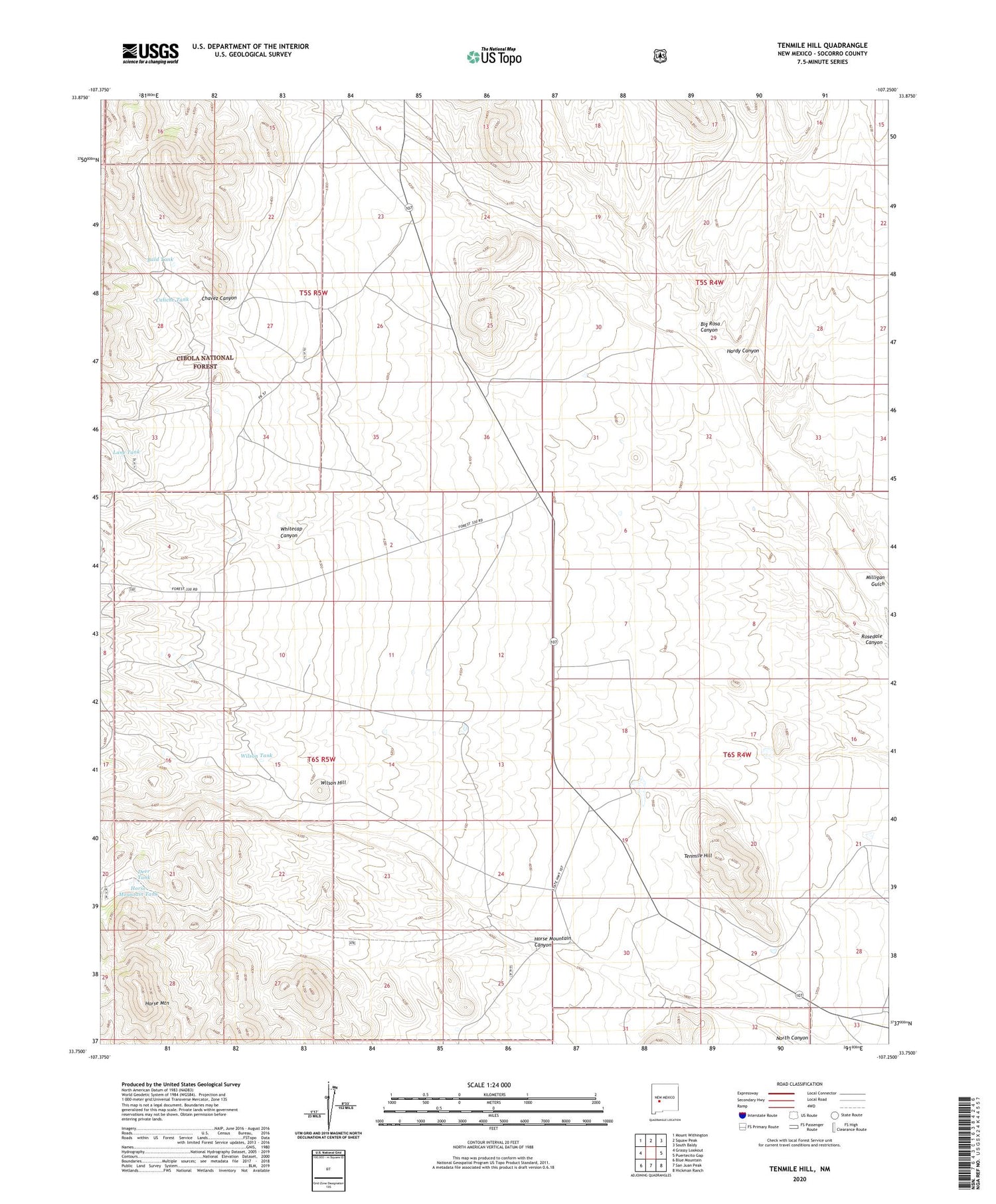
Also explore the Tenmile Hill Forest Service Topo of this same quad for updated USFS data
2023 topographic map quadrangle Tenmile Hill in the state of New Mexico. Scale: 1:24000. Based on the newly updated USGS 7.5' US Topo map series, this map is in the following counties: Socorro. The map contains contour data, water features, and other items you are used to seeing on USGS maps, but also has updated roads and other features. This is the next generation of topographic maps. Printed on high-quality waterproof paper with UV fade-resistant inks.
Quads adjacent to this one:
West: Grassy Lookout
Northwest: Mount Withington
North: Squaw Peak
Northeast: South Baldy
East: Puertecito Gap
Southeast: Hickman Ranch
South: San Juan Peak
Southwest: Blue Mountain
This map covers the same area as the classic USGS quad with code o33107g3.
Contains the following named places: Bald Tank, Big Rosa Canyon, Caliche Tank, Chavez Canyon, Deep Windmill, Deer Tank, Hardy Canyon, Horse Mountain, Horse Mountain Canyon, Horse Mountain Tank, Lane Tank, Little Well, Road Well Corral, Tenmile Hill, Tigner Headquaters Water Well, Tigner Ranch, Whitecap Canyon, Wilson Hill, Wilson Ranch, Wilson Tank, Woofter Ranch