MyTopo
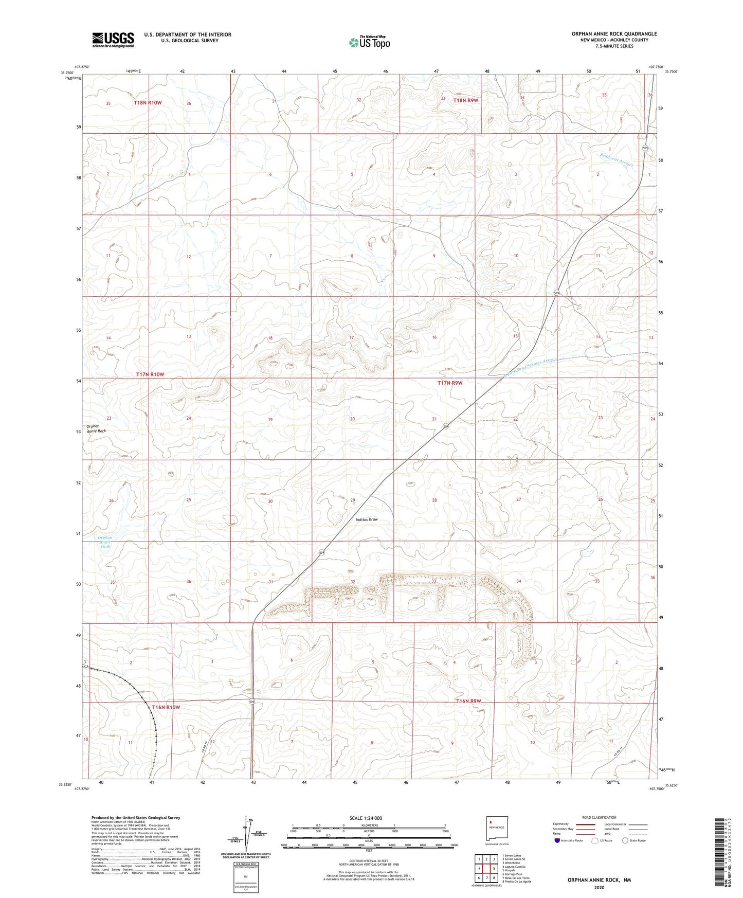
Orphan Annie Rock New Mexico US Topo Map
Couldn't load pickup availability
2023 topographic map quadrangle Orphan Annie Rock in the state of New Mexico. Scale: 1:24000. Based on the newly updated USGS 7.5' US Topo map series, this map is in the following counties: McKinley. The map contains contour data, water features, and other items you are used to seeing on USGS maps, but also has updated roads and other features. This is the next generation of topographic maps. Printed on high-quality waterproof paper with UV fade-resistant inks.
Quads adjacent to this one:
West: Laguna Castillo
Northwest: Seven Lakes
North: Seven Lakes SE
Northeast: Whitehorse
East: Hospah
Southeast: Piedra De La Aguila
South: Mesa De Los Toros
Southwest: Borrego Pass
This map covers the same area as the classic USGS quad with code o35107f7.
Contains the following named places: Escondido Ranch, Orphan Annie Rock, Orphan Annie Tank, Orphan Annie Well