MyTopo
Mesa De Los Toros New Mexico US Topo Map
Couldn't load pickup availability
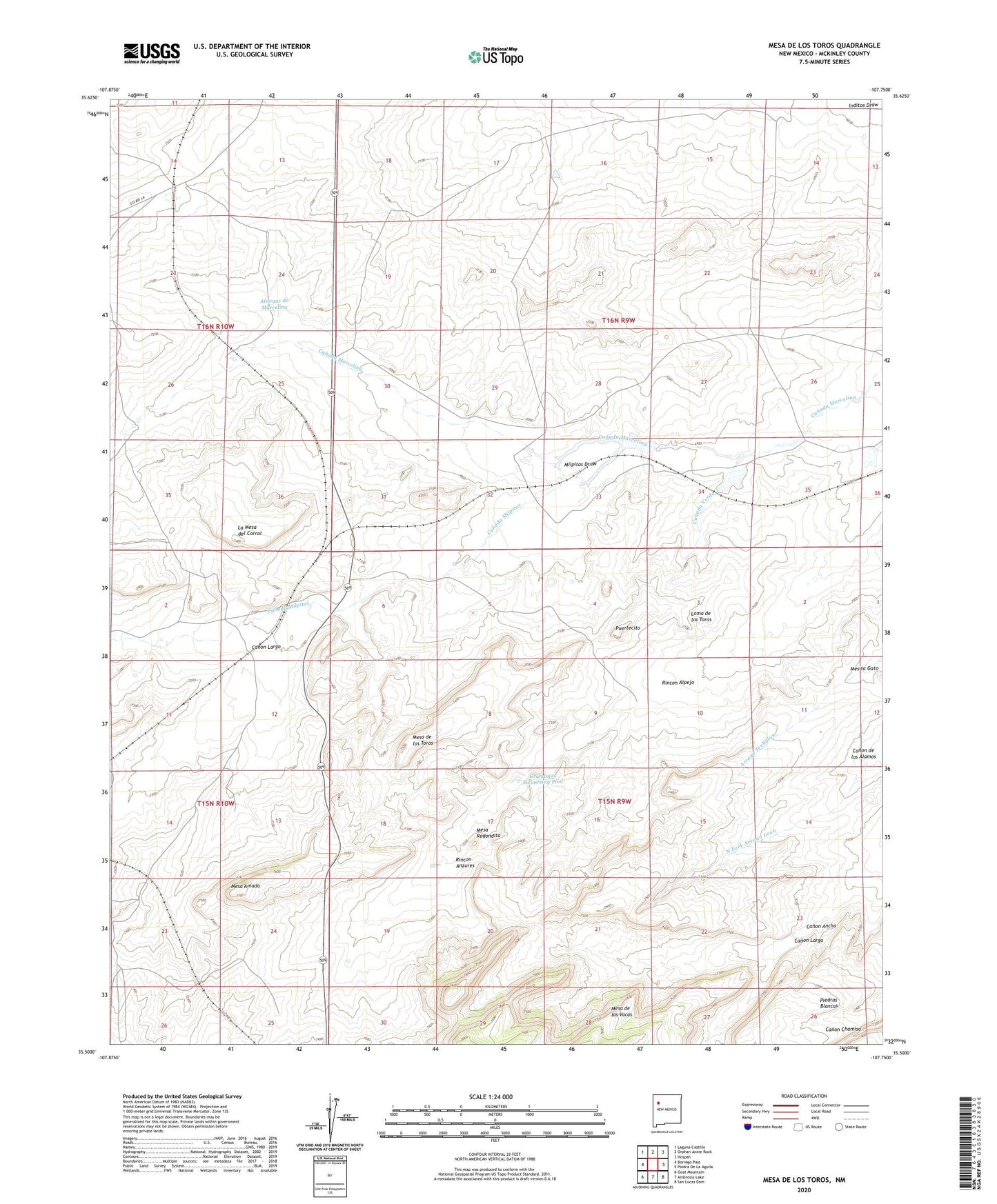
2023 topographic map quadrangle Mesa De Los Toros in the state of New Mexico. Scale: 1:24000. Based on the newly updated USGS 7.5' US Topo map series, this map is in the following counties: McKinley. The map contains contour data, water features, and other items you are used to seeing on USGS maps, but also has updated roads and other features. This is the next generation of topographic maps. Printed on high-quality waterproof paper with UV fade-resistant inks.
Quads adjacent to this one:
West: Borrego Pass
Northwest: Laguna Castillo
North: Orphan Annie Rock
Northeast: Hospah
East: Piedra De La Aguila
Southeast: San Lucas Dam
South: Ambrosia Lake
Southwest: Goat Mountain
This map covers the same area as the classic USGS quad with code o35107e7.
Contains the following named places: Atavque de Marcelina, Bordo Well, Canada del Camino Well, Canada Milpitas, Canada Verde, Canon Ancho, Canon de los Alamos, Canon Largo, Chico Detention Dam Number Two, Grandmas Swimming Pool, Inditos Camp, La Mesa del Corral, Loma de los Toros, Mesa Amada, Mesa de los Toros, Mesa Redondita, Milpitas Draw, Milpitas Water Well, Milpitas Well, Piedras Blancas, Puertecito, Rancho Nuevo, Rincon Alpejo, Rincon Anzures, Twentyone Well, Zia Storage Reservoir Dam