MyTopo
Palomas Gap New Mexico US Topo Map
Couldn't load pickup availability
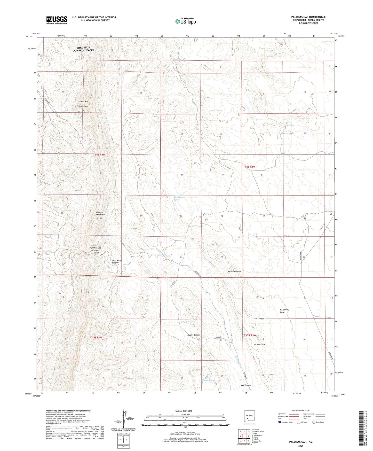
2023 topographic map quadrangle Palomas Gap in the state of New Mexico. Scale: 1:24000. Based on the newly updated USGS 7.5' US Topo map series, this map is in the following counties: Sierra. The map contains contour data, water features, and other items you are used to seeing on USGS maps, but also has updated roads and other features. This is the next generation of topographic maps. Printed on high-quality waterproof paper with UV fade-resistant inks.
Quads adjacent to this one:
West: Williamsburg
Northwest: Cuchillo
North: Elephant Butte
Northeast: Engle
East: Cutter
Southeast: Upham
South: Apache Gap
Southwest: Caballo
This map covers the same area as the classic USGS quad with code o33107a2.
Contains the following named places: Ash Spring, Ashland Mine, Barney Lorio Number 1 Spring, Black Jack Mine, Blue Jacket Prospect, Bootlegger Windmill, Caballo Canyon, Caballo Cone, Caballo Spring Windmill, Carolyn, Carroll, Carroll Prospect, Cox, Cox Mine, Dakota Mine, Dewey, Dewey and White Swan Deposit, Forty-One and Riverside Mine, Forty-One Claim, Governor, Hadley Canyon, Harding, Illinois, Independence Mine, Lead Mine Canyon, Lincoln Mine, Little Johnnie Mine, Little Ohmey Tank, Lone Tree Prospect, Marian Mine, Mescal Spring, Napolean- Rosa Lee Group, Napoleon - Rosa Lee, Oakland Vein Mine, Oohoo, Palomas Gap, Palomas Gap Creek, Parker Windmill, Red Tank, Red Top, Riverside Mine, Tingley, Tingley Prospect, Turtle Mountain, Universal Mine, Victoria Mine, White Star Vein Mine, White Swan, Wild Horse, Yellowjacket Mine Number 1, Yellowjacket Mine Number 2


