MyTopo
Pierce Canyon New Mexico US Topo Map
Couldn't load pickup availability
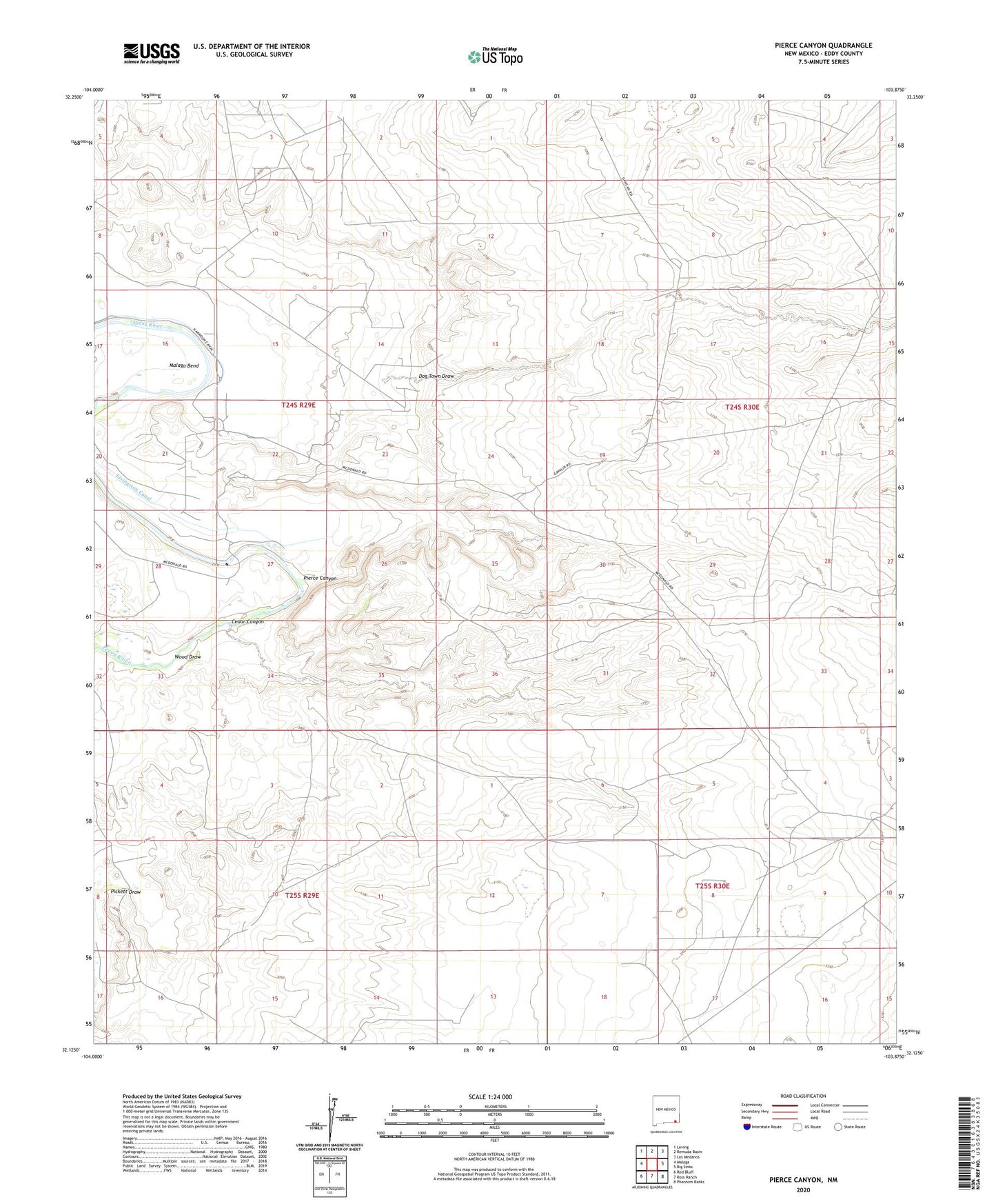
2023 topographic map quadrangle Pierce Canyon in the state of New Mexico. Scale: 1:24000. Based on the newly updated USGS 7.5' US Topo map series, this map is in the following counties: Eddy. The map contains contour data, water features, and other items you are used to seeing on USGS maps, but also has updated roads and other features. This is the next generation of topographic maps. Printed on high-quality waterproof paper with UV fade-resistant inks.
Quads adjacent to this one:
West: Malaga
Northwest: Loving
North: Remuda Basin
Northeast: Los Medanos
East: Big Sinks
Southeast: Phantom Banks
South: Ross Ranch
Southwest: Red Bluff
This map covers the same area as the classic USGS quad with code o32103b8.
Contains the following named places: Carper Windmill, Cedar Canyon, Dog Town Draw, Harroun Canal, Livingston Canal, Loving Division, Malaga Bend, Pickett Draw, Pierce Canyon, Pierce Canyon Crossing, Tomcat Windmill, Wood Draw, ZIP Code: 88256