MyTopo
Polecat Tank New Mexico US Topo Map
Couldn't load pickup availability
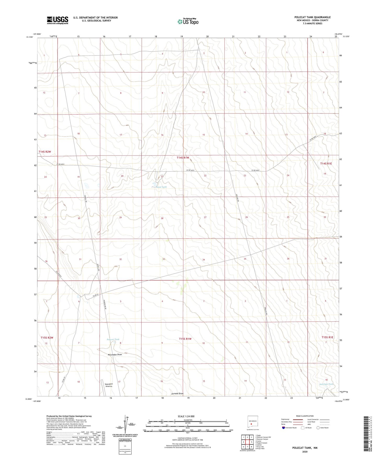
2023 topographic map quadrangle Polecat Tank in the state of New Mexico. Scale: 1:24000. Based on the newly updated USGS 7.5' US Topo map series, this map is in the following counties: Sierra. The map contains contour data, water features, and other items you are used to seeing on USGS maps, but also has updated roads and other features. This is the next generation of topographic maps. Printed on high-quality waterproof paper with UV fade-resistant inks.
Quads adjacent to this one:
West: Cutter
Northwest: Engle
North: Shannon Canyon NW
Northeast: Shannon Canyon
East: Dugout Canyon
Southeast: Prisor Well
South: Prisor Hill
Southwest: Upham
This map covers the same area as the classic USGS quad with code o33106a8.
Contains the following named places: Antelope Tank, East Pasture Tank, Fivemile Well, McLenden Draw, Polecat Tank, Rainwater Ranch, Sand Tank