MyTopo
Sierra Blanca Peak New Mexico US Topo Map
Couldn't load pickup availability
Also explore the Sierra Blanca Peak Forest Service Topo of this same quad for updated USFS data
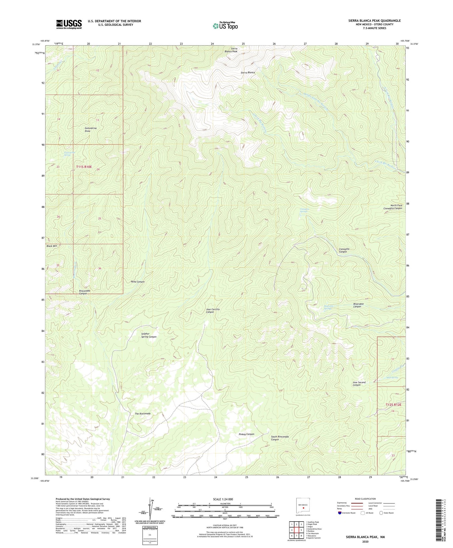
2023 topographic map quadrangle Sierra Blanca Peak in the state of New Mexico. Scale: 1:24000. Based on the newly updated USGS 7.5' US Topo map series, this map is in the following counties: Otero. The map contains contour data, water features, and other items you are used to seeing on USGS maps, but also has updated roads and other features. This is the next generation of topographic maps. Printed on high-quality waterproof paper with UV fade-resistant inks.
Quads adjacent to this one:
West: Golondrina Draw
Northwest: Godfrey Peak
North: Nogal Peak
Northeast: Angus
East: Ruidoso
Southeast: Apache Summit
South: Mescalero
Southwest: Cat Mountain
This map covers the same area as the classic USGS quad with code o33105c7.
Contains the following named places: Bernard Well, Cienegita Springs, Golondrina Spring, Middle Fork Rio Ruidoso, Miserable Springs, Morris Well, Mud Spring, Pena Canyon, Sierra Blanca, Sierra Blanca Historical Marker, Sierra Blanca Peak, Sulphur Spring Canyon, The Rinconada