MyTopo
Golondrina Draw New Mexico US Topo Map
Couldn't load pickup availability
Also explore the Golondrina Draw Forest Service Topo of this same quad for updated USFS data
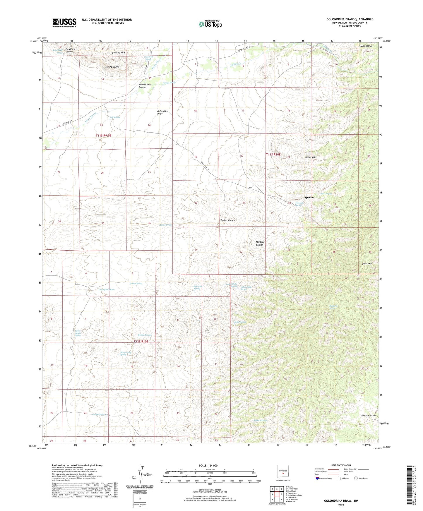
2023 topographic map quadrangle Golondrina Draw in the state of New Mexico. Scale: 1:24000. Based on the newly updated USGS 7.5' US Topo map series, this map is in the following counties: Otero. The map contains contour data, water features, and other items you are used to seeing on USGS maps, but also has updated roads and other features. This is the next generation of topographic maps. Printed on high-quality waterproof paper with UV fade-resistant inks.
Quads adjacent to this one:
West: Three Rivers
Northwest: Oscura
North: Godfrey Peak
Northeast: Nogal Peak
East: Sierra Blanca Peak
Southeast: Mescalero
South: Cat Mountain
Southwest: Tularosa NE
This map covers the same area as the classic USGS quad with code o33105c8.
Contains the following named places: A B Fall Dam and Aqueduct Historic Site, Apache, Apache Post Office, Armijo Spring, Barber Canyon, Black Mountain, Black Mountain Well, Crawford Canyon, Crawford Spring, Crawford Windmill, Crosby Spring, Fall Spring, Golondrina Draw, Golondrina Windmill, Hamm Well, Horse Camp Spring, Horse Mountain, Indian Creek, Indian Spring, Klinekole Well, Lower Salty Spring, Maverick Spring, Montoya Canyon, Montoya Spring, Mustang Spring, Santo Nino de Atocha Church, Schoolhouse Well, Shanta Well, Smith Spring, The Palisades, Upper Agular Spring, Upper Salty Spring, Valdez Spring