MyTopo
The Old Dry Lake New Mexico US Topo Map
Couldn't load pickup availability
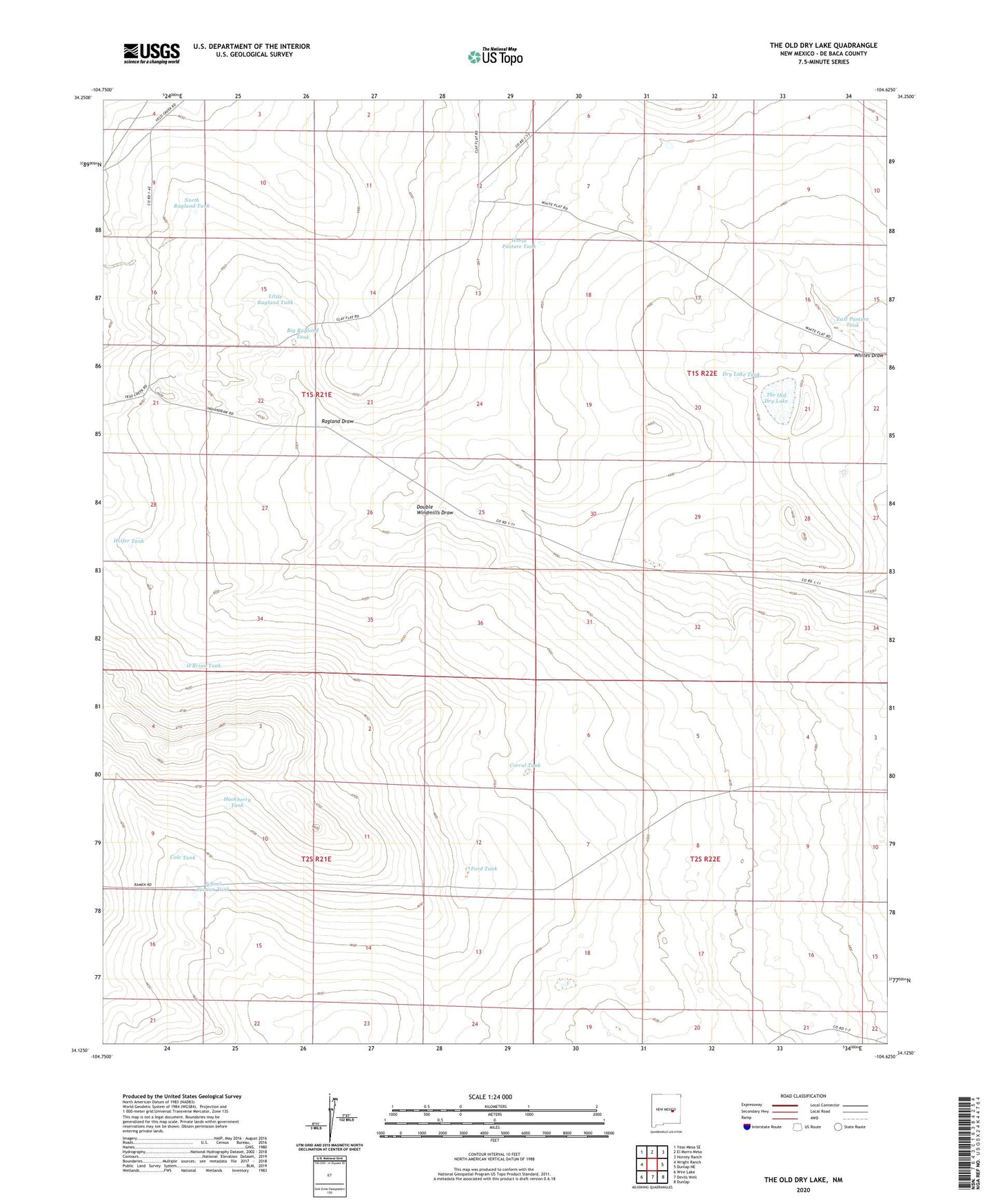
2020 topographic map quadrangle The Old Dry Lake in the state of New Mexico. Scale: 1:24000. Based on the newly updated USGS 7.5' US Topo map series, this map is in the following counties: De Baca. The map contains contour data, water features, and other items you are used to seeing on USGS maps, but also has updated roads and other features. This is the next generation of topographic maps. Printed on high-quality waterproof paper with UV fade-resistant inks.
Quads adjacent to this one:
West: Wright Ranch
Northwest: Yeso Mesa SE
North: El Morro Mesa
Northeast: Horney Ranch
East: Dunlap NE
Southeast: Dunlap
South: Devils Well
Southwest: Wire Lake
Contains the following named places: Big Ragland Tank, Cole Tank, Corral Tank, Double Windmills Draw, Dry Lake Tank, East Pasture North Well, East Pasture South Well, East Pasture Tank, East Well, Ford Tank, Hackberry Tank, Heifer Tank, Horse Pasture Tank, Little Ragland Tank, North King Well, North Ragland Tank, O'Brian Tank, Polley Well, Ragland Draw, School Section Tank, Sweet Well, The Old Dry Lake, West Well