MyTopo
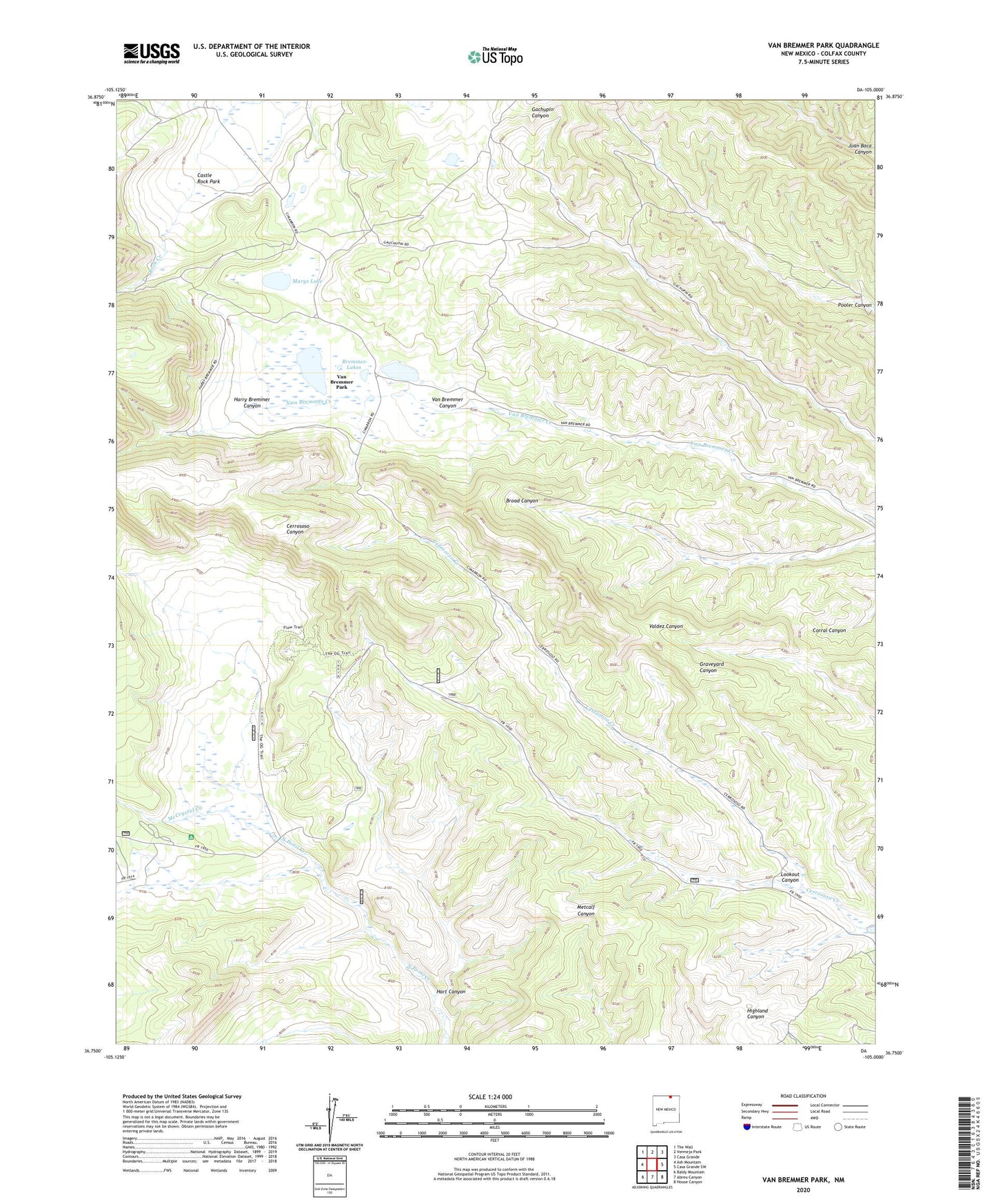
Van Bremmer Park New Mexico US Topo Map
Couldn't load pickup availability
Also explore the Van Bremmer Park Forest Service Topo of this same quad for updated USFS data
2023 topographic map quadrangle Van Bremmer Park in the state of New Mexico. Scale: 1:24000. Based on the newly updated USGS 7.5' US Topo map series, this map is in the following counties: Colfax. The map contains contour data, water features, and other items you are used to seeing on USGS maps, but also has updated roads and other features. This is the next generation of topographic maps. Printed on high-quality waterproof paper with UV fade-resistant inks.
Quads adjacent to this one:
West: Ash Mountain
Northwest: The Wall
North: Vermejo Park
Northeast: Casa Grande
East: Casa Grande SW
Southeast: House Canyon
South: Abreu Canyon
Southwest: Baldy Mountain
This map covers the same area as the classic USGS quad with code o36105g1.
Contains the following named places: Bremmer Lakes, Bremmer Longshed Camp, Cerrososo Camp, Harry Bremmer Canyon, Hart Canyon, Lookout Canyon, Marys Lake, McCrystal Creek, McCrystal Creek Campground, Ring Place, Van Bremmer Park, Whiteman Vega