MyTopo
White Lakes New Mexico US Topo Map
Couldn't load pickup availability
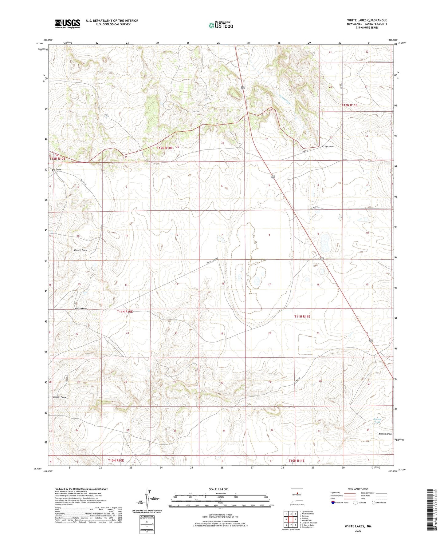
2023 topographic map quadrangle White Lakes in the state of New Mexico. Scale: 1:24000. Based on the newly updated USGS 7.5' US Topo map series, this map is in the following counties: Santa Fe. The map contains contour data, water features, and other items you are used to seeing on USGS maps, but also has updated roads and other features. This is the next generation of topographic maps. Printed on high-quality waterproof paper with UV fade-resistant inks.
Quads adjacent to this one:
West: Stanley
Northwest: Ojo Hedionda
North: Wildhorse Mesa
Northeast: Rencona
East: Mesa El Toro
Southeast: Clines Corners
South: El Cuervo Butte
Southwest: Longhorn Reservoir
This map covers the same area as the classic USGS quad with code o35105b7.
Contains the following named places: Bozlan Well, Hagerman Ranch, Patterson Ranch Airport, Snow Ranch, Spring Tank, White Lakes