MyTopo
Wildhorse Mesa New Mexico US Topo Map
Couldn't load pickup availability
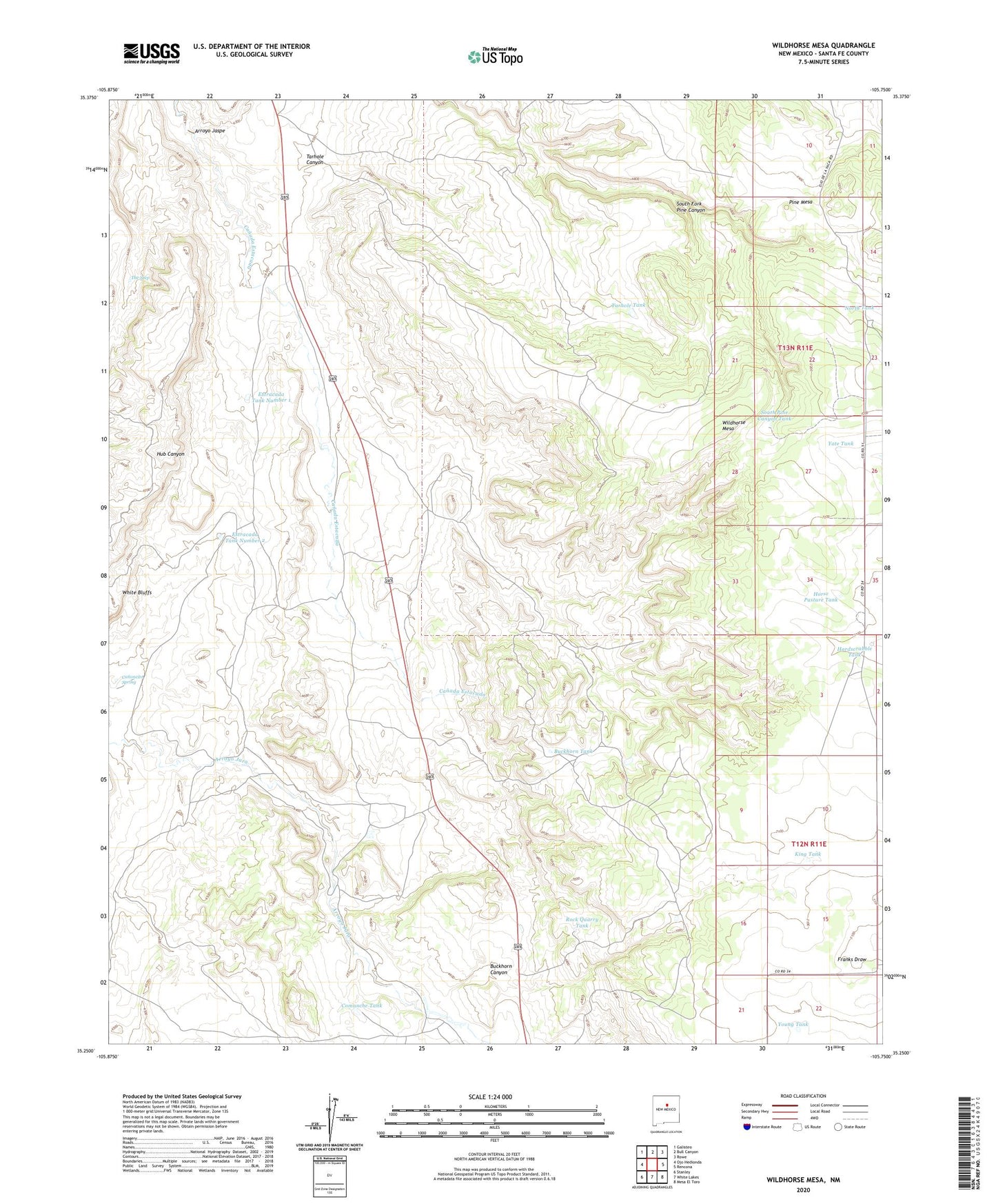
2023 topographic map quadrangle Wildhorse Mesa in the state of New Mexico. Scale: 1:24000. Based on the newly updated USGS 7.5' US Topo map series, this map is in the following counties: Santa Fe. The map contains contour data, water features, and other items you are used to seeing on USGS maps, but also has updated roads and other features. This is the next generation of topographic maps. Printed on high-quality waterproof paper with UV fade-resistant inks.
Quads adjacent to this one:
West: Ojo Hedionda
Northwest: Galisteo
North: Bull Canyon
Northeast: Rowe
East: Rencona
Southeast: Mesa El Toro
South: White Lakes
Southwest: Stanley
This map covers the same area as the classic USGS quad with code o35105c7.
Contains the following named places: Ananosia Well, Arroyo Jaspe, Buckhorn Canyon, Buckhorn Tank, Buckhorn Well, Canoncito Spring, Chico Pumpjack Well, Chico Well, Comanche Tank, Comanche Well, Dyer Ranch, East Largoeta Well, Estracada House Well, Estracada Tank Number 1, Estracada Tank Number 2, Estracada Well, Grants Well, Hardscrabble Tank, Hill Tank, Holding Pasture Well, Horse Pasture Tank, King Tank, Little Windmill, N H P Water Well, North Buckhorn Well, North Holding Pasture Well, North Largoeta Well, North Tank, Pine Mesa, Rock Quarry Tank, San Cristoval, South Fork Pine Canyon, South Pine Canyon Tank, Tarhole Canyon, Tarhole Tank, Tarhole Well, The Seep, White Bluff Well, Wildhorse Mesa, Wildhorse Well, Yate Tank, Young Lake, Young Place, Young Tank