MyTopo
Whitewater New Mexico US Topo Map
Couldn't load pickup availability
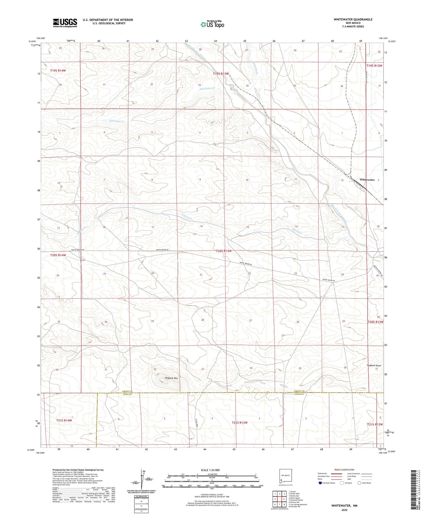
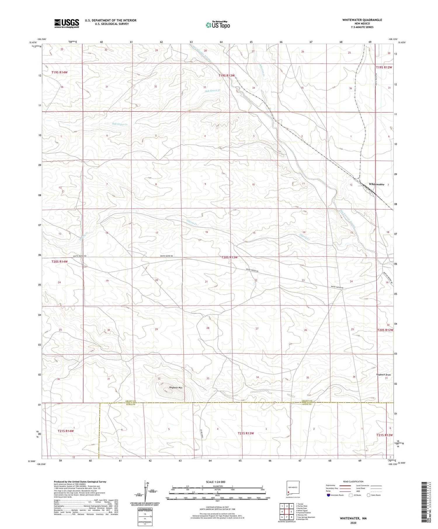
2020 topographic map quadrangle Whitewater in the state of New Mexico. Scale: 1:24000. Based on the newly updated USGS 7.5' US Topo map series, this map is in the following counties: Grant, Luna. The map contains contour data, water features, and other items you are used to seeing on USGS maps, but also has updated roads and other features. This is the next generation of topographic maps. Printed on high-quality waterproof paper with UV fade-resistant inks.
Quads adjacent to this one:
West: White Signal
Northwest: Tyrone
North: Hurley West
Northeast: Hurley East
East: Faywood Station
Southeast: Antelope Hill
South: Cow Springs Mountain
Southwest: Werney Hill
Contains the following named places: 00781 Water Well, 00942 Water Well, 00945 Water Well, 00947 Water Well, 00949 Water Well, 08898 Water Well, Cameron Creek, Cherry Creek, Cherry Creek Water Well, G 940 Water Well, G 943 Water Well, Hogback Mountain, Oak Grove Creek, Stark, Stark 1 Water Well, Whitewater, Whitewater Post Office, Whitewater Weather Station