MyTopo
Hurley East New Mexico US Topo Map
Couldn't load pickup availability
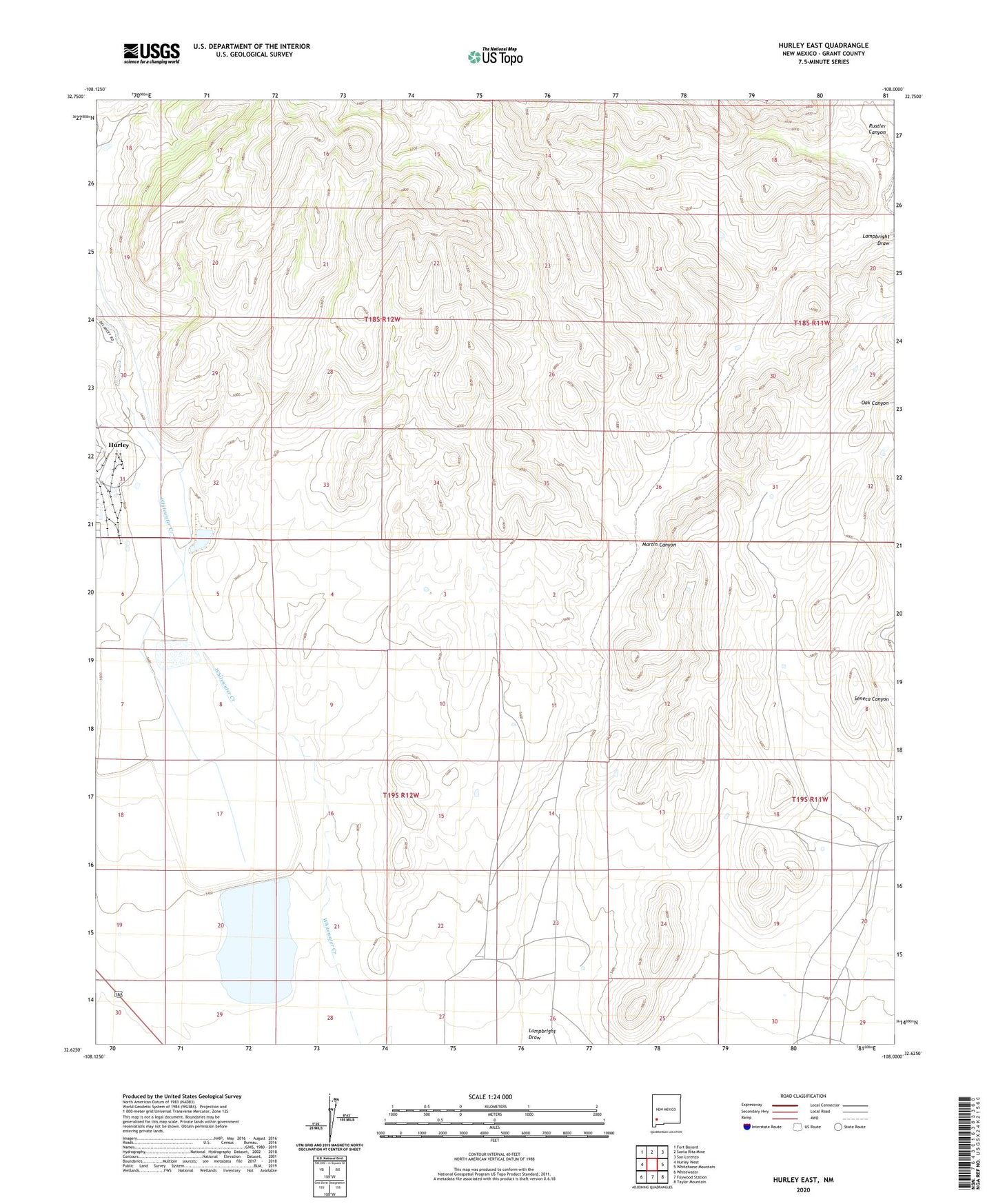
2023 topographic map quadrangle Hurley East in the state of New Mexico. Scale: 1:24000. Based on the newly updated USGS 7.5' US Topo map series, this map is in the following counties: Grant. The map contains contour data, water features, and other items you are used to seeing on USGS maps, but also has updated roads and other features. This is the next generation of topographic maps. Printed on high-quality waterproof paper with UV fade-resistant inks.
Quads adjacent to this one:
West: Hurley West
Northwest: Fort Bayard
North: Santa Rita Mine
Northeast: San Lorenzo
East: Whitehorse Mountain
Southeast: Taylor Mountain
South: Faywood Station
Southwest: Whitewater
This map covers the same area as the classic USGS quad with code o32108f1.
Contains the following named places: 00324 Water Well, 00349 Water Well, 00686 Water Well, 00743 Water Well, 00752 Water Well, 00753 Water Well, G 322 Water Well, Kennicott Reservoir Lake Number 1 Dam, Martin Canyon, Rincon Well, Rustler Canyon, Whitewater Reservoir