MyTopo
Whitmire Pass New Mexico US Topo Map
Couldn't load pickup availability
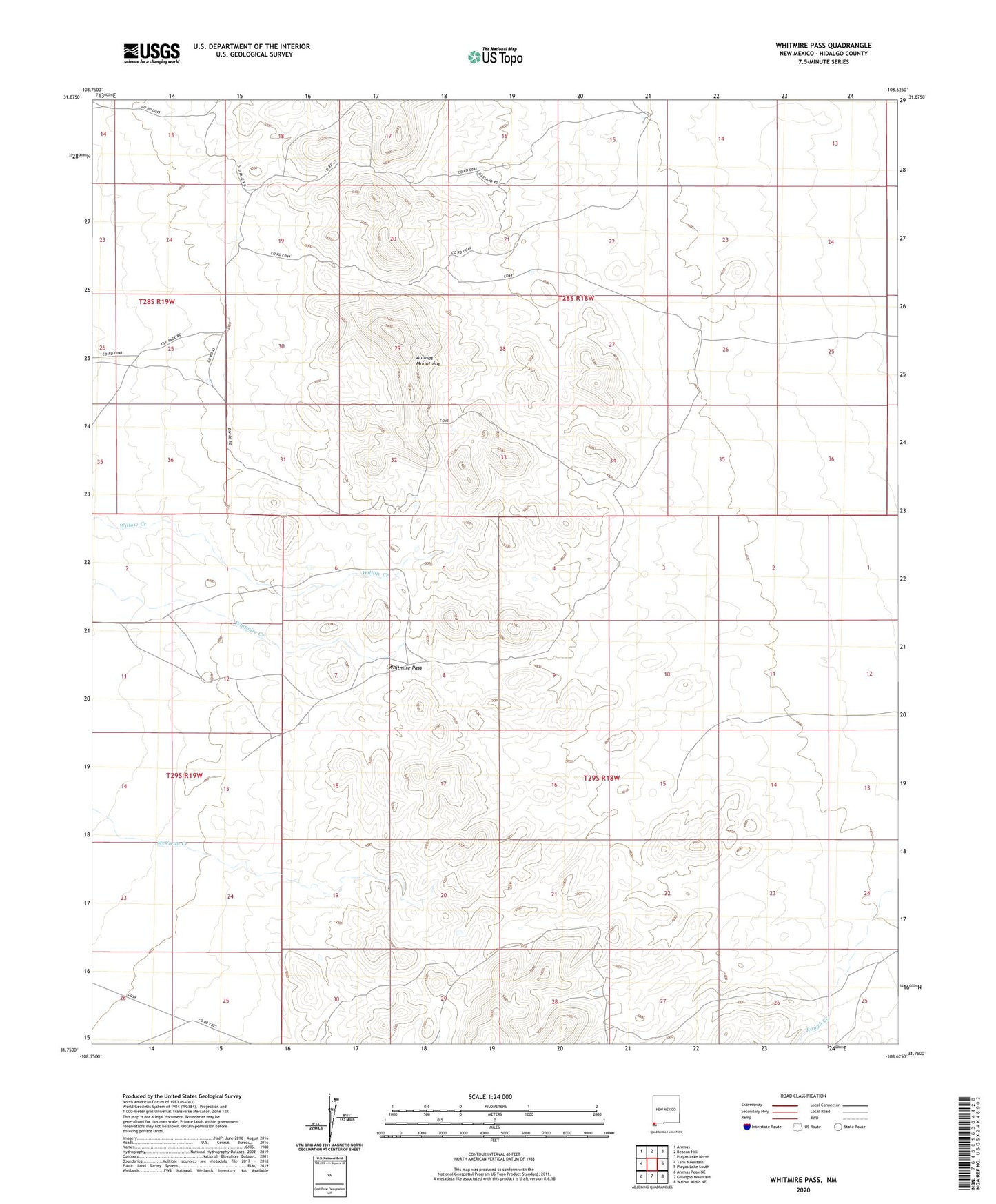
2023 topographic map quadrangle Whitmire Pass in the state of New Mexico. Scale: 1:24000. Based on the newly updated USGS 7.5' US Topo map series, this map is in the following counties: Hidalgo. The map contains contour data, water features, and other items you are used to seeing on USGS maps, but also has updated roads and other features. This is the next generation of topographic maps. Printed on high-quality waterproof paper with UV fade-resistant inks.
Quads adjacent to this one:
West: Tank Mountain
Northwest: Animas
North: Beacon Hill
Northeast: Playas Lake North
East: Playas Lake South
Southeast: Walnut Wells NE
South: Gillespie Mountain
Southwest: Animas Peak NE
This map covers the same area as the classic USGS quad with code o31108g6.
Contains the following named places: Black Streak Claim, Rincon, Whitmire Pass