MyTopo
Canaan New York US Topo Map
Couldn't load pickup availability
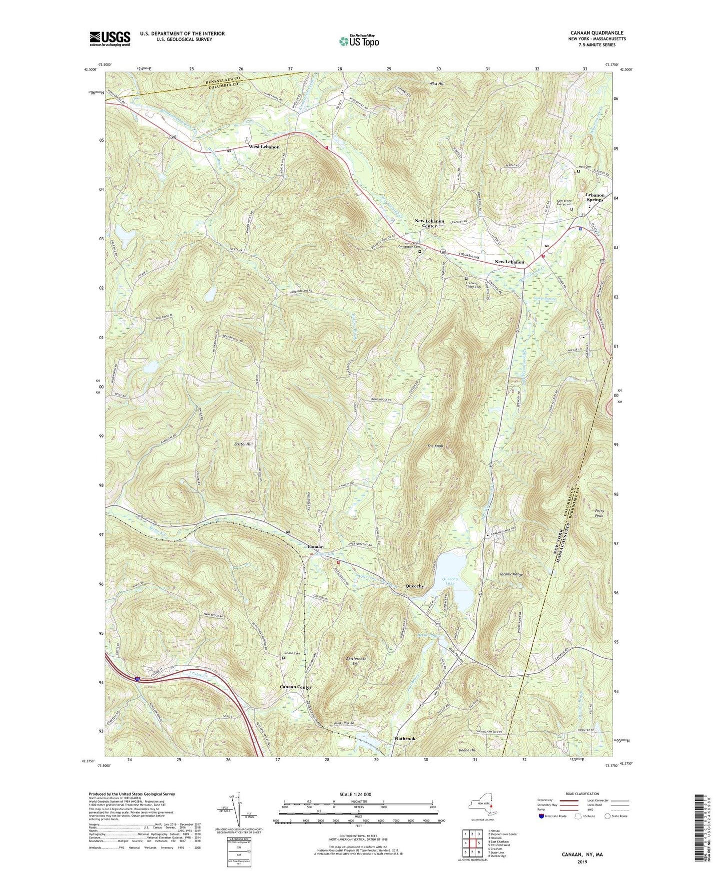
2023 topographic map quadrangle Canaan in the states of New York, Massachusetts. Scale: 1:24000. Based on the newly updated USGS 7.5' US Topo map series, this map is in the following counties: Columbia, Berkshire, Rensselaer. The map contains contour data, water features, and other items you are used to seeing on USGS maps, but also has updated roads and other features. This is the next generation of topographic maps. Printed on high-quality waterproof paper with UV fade-resistant inks.
Quads adjacent to this one:
West: East Chatham
Northwest: Nassau
North: Stephentown Center
Northeast: Hancock
East: Pittsfield West
Southeast: Stockbridge
Southwest: Chatham
Contains the following named places: Adams Crossing Mobile Home Park, Beebe Pond, Berkshire Farm for Boys, Berkshire Farm Union School, Bristol Hill, Buttercup Creek, Canaan, Canaan Cemetery, Canaan Center, Canaan Congregational United Church of Christ, Canaan Post Office, Canaan Protective Fire Company, Canaan Town Hall, Cemetery of the Evergreens, Cornwall - Tilden Cemetery, Darrow School, Flatbrook, Hansons Mobile Home Park, Hilltop Orchards, Hollow Brook, Immaculate Conception Cemetery, Lebanon Springs, Lebanon Springs Limestone Quarry, Lebanon Valley Protective Association New Lebanon Station, Lebanon Valley Protective Association West Lebanon Fire Station, Lebanon Valley Speedway, Mott Cemetery, New Britain, New Lebanon, New Lebanon Center, New Lebanon Congregational Church, New Lebanon Junior-Senior High School, New Lebanon Library, New Lebanon Post Office, Perry Peak, Queechy, Queechy Lake, Queechy Lake Brook, Rattlesnake Den, Red Barn Farm, Shafford Memorial Park, Shaker Swamp, South Branch Wyomanock Creek, The Knob, Town of Canaan, Town of New Lebanon, Walter B Howard Elementary School, West Hill, West Lebanon, West Lebanon Post Office, Wyomanock Creek, ZIP Codes: 12029, 12125, 12195


