MyTopo
Lake Bonaparte New York US Topo Map
Couldn't load pickup availability
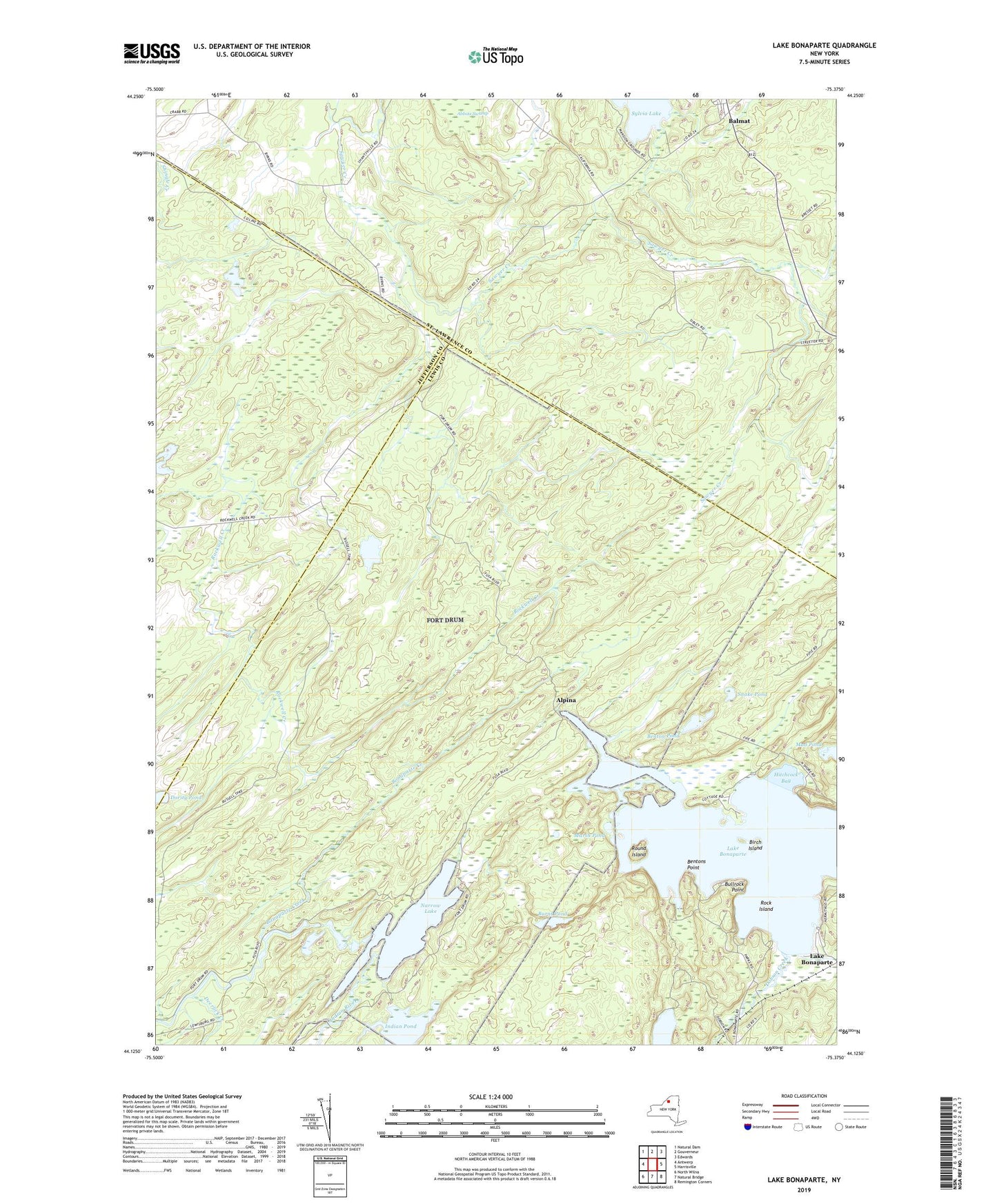
2019 topographic map quadrangle Lake Bonaparte in the state of New York. Scale: 1:24000. Based on the newly updated USGS 7.5' US Topo map series, this map is in the following counties: Lewis, St. Lawrence, Jefferson. The map contains contour data, water features, and other items you are used to seeing on USGS maps, but also has updated roads and other features. This is the next generation of topographic maps. Printed on high-quality waterproof paper with UV fade-resistant inks.
Quads adjacent to this one:
West: Antwerp
Northwest: Natural Dam
North: Gouverneur
Northeast: Edwards
East: Harrisville
Southeast: Remington Corners
South: Natural Bridge
Southwest: North Wilna
Contains the following named places: Abbots Swamp, Adirondack 1000 Islands Camping, Alpina, Balmat, Benton Pond, Bentons Point, Birch Island, Bonaparte Creek, Bullhead Pond, Bullrock Point, Burnt Pond, Clark Creek, Deerlick Creek, Dobson Creek, Hitchcock Bay, Indian Lake, Indian Pond, Kellogg Corners, Lake Bonaparte, Marsh Pond, Mud Lake, Narrow Lake, Rices Corners, Rock Island, Round Island, Snake Pond