MyTopo
Middle Grove New York US Topo Map
Couldn't load pickup availability
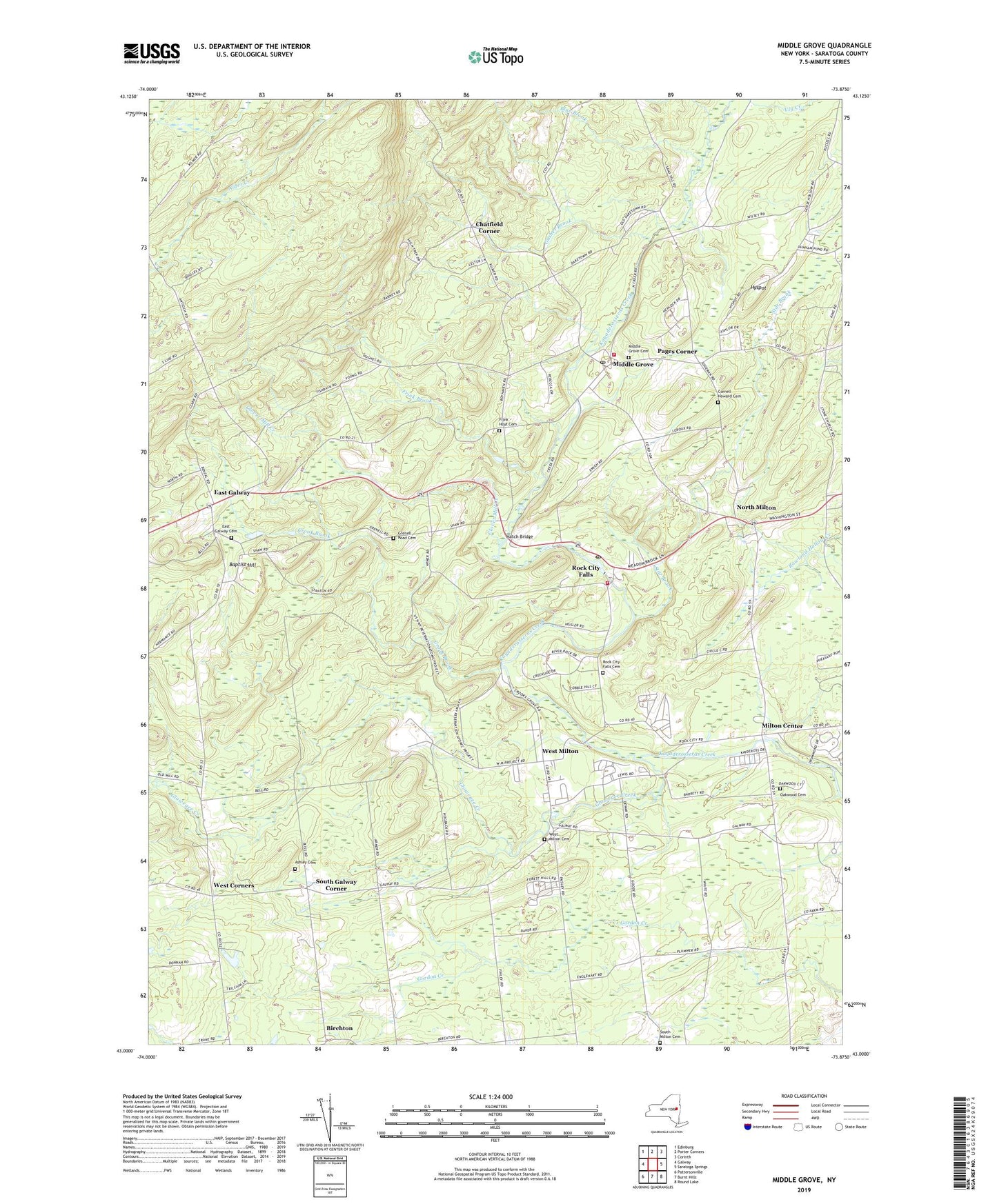
2023 topographic map quadrangle Middle Grove in the state of New York. Scale: 1:24000. Based on the newly updated USGS 7.5' US Topo map series, this map is in the following counties: Saratoga. The map contains contour data, water features, and other items you are used to seeing on USGS maps, but also has updated roads and other features. This is the next generation of topographic maps. Printed on high-quality waterproof paper with UV fade-resistant inks.
Quads adjacent to this one:
West: Galway
Northwest: Edinburg
North: Porter Corners
Northeast: Corinth
East: Saratoga Springs
Southeast: Round Lake
South: Burnt Hills
Southwest: Pattersonville
This map covers the same area as the classic USGS quad with code o43073a8.
Contains the following named places: Ashley Cemetery, Baptist Hill, Birchton, Blue Brook, Chatfield Corner, Christ the Saviour Orthodox Church of Saratoga County, Clover Mill Creek, Cornell Howard Cemetery, Country Brook Farm, Crook Brook, East Galway, East Galway Cemetery, Frink - Hoyt Cemetery, Frink Brook, Frink Corner, Galway Ambulance Corps, Galway Country Club, Gasher Brook, Glowegee Creek, Grace Brethren Church, Grenell Road Cemetery, Hatch Bridge, Hyspot, Johnstons Winery, Middle Grove, Middle Grove Cemetery, Middle Grove Fire Company 3, Middle Grove Post Office, Middle Grove United Methodist Church, Milton Center, Milton Fire District 1 Rock City Falls Volunteer Fire Company Rock City Falls Station 1, North Milton, Oakwood Cemetery, Old Stone Church, Pages Corner, Partridge Run Farm, Peacock Brook, Pine Meadow Farm, Pioneer Hills Golf Course, Rock City Falls, Rock City Falls Cemetery, Rock City Falls Post Office, Rock City Falls United Methodist Church, Rose Brook, Saint Paul's Church, Sampler Farm, Simpson United Methodist Church, South Galway Corner, South Milton Cemetery, Star Brook, Town of Milton, United States Reservation Knolls Atomic Energy Plant, West Corners, West Milton, West Milton Cemetery, Winterwood Farm, ZIP Codes: 12850, 12863


