MyTopo
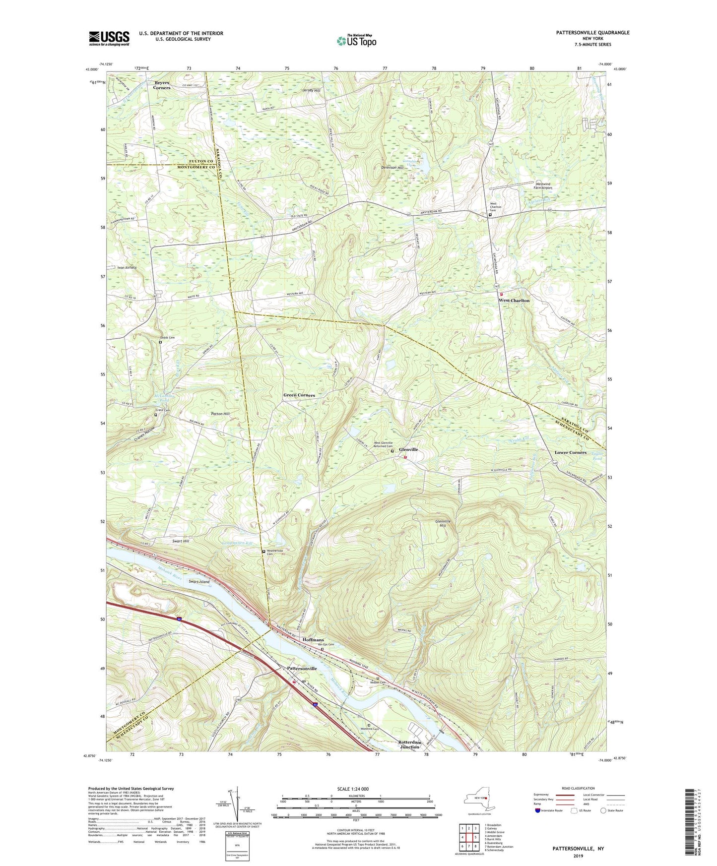
Pattersonville New York US Topo Map
Couldn't load pickup availability
2023 topographic map quadrangle Pattersonville in the state of New York. Scale: 1:24000. Based on the newly updated USGS 7.5' US Topo map series, this map is in the following counties: Schenectady, Saratoga, Montgomery, Fulton. The map contains contour data, water features, and other items you are used to seeing on USGS maps, but also has updated roads and other features. This is the next generation of topographic maps. Printed on high-quality waterproof paper with UV fade-resistant inks.
Quads adjacent to this one:
West: Amsterdam
Northwest: Broadalbin
North: Galway
Northeast: Middle Grove
East: Burnt Hills
Southeast: Schenectady
South: Rotterdam Junction
Southwest: Duanesburg
This map covers the same area as the classic USGS quad with code o42074h1.
Contains the following named places: Balnakill Farms, Beyers Corners, Blue Corners, Chaughtanoonda Creek, Compaanen Kill, Consalus Vly, Crabb Kill, Crane Cemetery, Cranes Hollow School, Damrock Farm, Dennison Hill, Dodds Cemetery, Fallentree Kill, Glenville, Glenville Hill, Green Corners, Healy Kill, Hoffmans, Hoffman's School, Jersey Hill, Kline School, Leisuretime Greenhouses, Lock Number 9, Lower Corners, McConchie's Heritage Acre Campground, McLachlan Pond, Mount Loretto Nursing Home, Natural Bridge Farm, Nightingales Maple Farm, Pattersonville, Pattersonville Fire District 4, Pattersonville Post Office, Pattersonville Rest Area, Pattersonville-Rotterdam Junction Census Designated Place, Patton Hill, Pine Meadow Mobile Home Park, Riverview Drive-In, Sandsea Kill, Scotch Church, Snow Field, Swart Hill, Swart Hill School, Swart Island, Van Eps Cemetery, Vedder Cemetery, Verf Kill, Weatherwax Cemetery, West Charlton, West Charlton Cemetery, West Charlton United Presbyterian Church, West Charlton Volunteer Fire Department, West Glenville Reformed Cemetery, West Glenville Reformed Church, West Glenville Volunteer Fire District 6, Westwind Farm Airport, Woestina Cemetery, Wolf Hollow, ZIP Code: 12150


