MyTopo
Mount Marcy New York US Topo Map
Couldn't load pickup availability
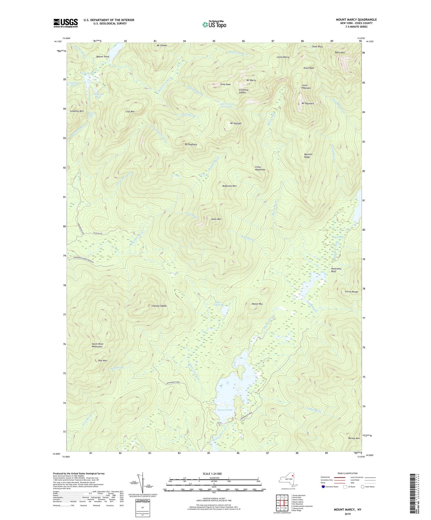
2023 topographic map quadrangle Mount Marcy in the state of New York. Scale: 1:24000. Based on the newly updated USGS 7.5' US Topo map series, this map is in the following counties: Essex. The map contains contour data, water features, and other items you are used to seeing on USGS maps, but also has updated roads and other features. This is the next generation of topographic maps. Printed on high-quality waterproof paper with UV fade-resistant inks.
Quads adjacent to this one:
West: Mount Adams
Northwest: Street Mountain
North: North Elba
Northeast: Keene Valley
East: Dix Mountain
Southeast: Blue Ridge
South: Cheney Pond
Southwest: Vanderwhacker Mountain
This map covers the same area as the classic USGS quad with code k44073a7.
Contains the following named places: Allen Brook, Allen Mountain, Bartlett Ridge, Basin Mountain, Beaver Point, Boreas Mountain, Boreas Ponds, Casey Brook, Cheney Cobble, Cliff Mountain, Cold Brook, Crystal Brook, Deer Pond, Dividing Ridge Trail, Elk Lake Marcy Trail, Feldspar Brook, First Pond, Flowed Lands, Four Corners, Gray Peak, Hanging Spear Falls, Herbert Brook, Lake Colden, Lake Tear of the Clouds, LeClaire Brook, Little Haystack, Little Marcy, Little Nippletop, Livingston Pond, Marcy Brook, Marcy Landing, Marcy Swamp, McDonnel Mountain, Moose Mountain, Moss Pond, Mount Haystack, Mount Marcy, Mount Redfield, Mount Skylight, Panorama Bluff, Panther Gorge, Point Balk, Range Trail, Rist Mountain, Sand Brook, Schofield Cobble, Second Pond, Shorey Short Cut, Skylight Brook, Slide Brook, Snyder Brook, Stillwater Inlet, Third Pond, Uphill Brook, Van Hoevenberg Trail, White Lily Brook, White Lily Pond, ZIP Code: 12943


