MyTopo
Dix Mountain New York US Topo Map
Couldn't load pickup availability
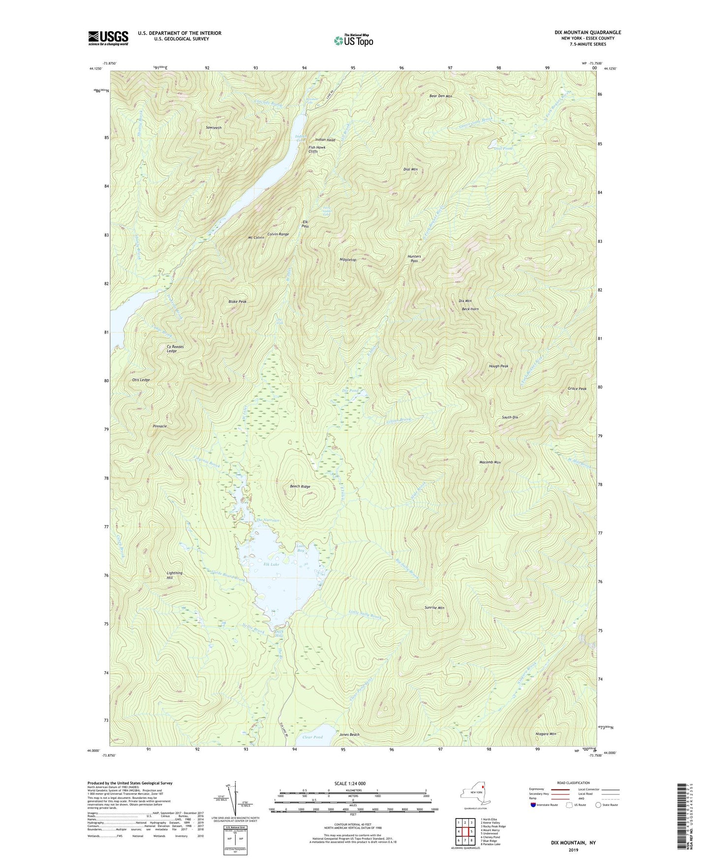
2023 topographic map quadrangle Dix Mountain in the state of New York. Scale: 1:24000. Based on the newly updated USGS 7.5' US Topo map series, this map is in the following counties: Essex. The map contains contour data, water features, and other items you are used to seeing on USGS maps, but also has updated roads and other features. This is the next generation of topographic maps. Printed on high-quality waterproof paper with UV fade-resistant inks.
Quads adjacent to this one:
West: Mount Marcy
Northwest: North Elba
North: Keene Valley
Northeast: Rocky Peak Ridge
East: Underwood
Southeast: Paradox Lake
South: Blue Ridge
Southwest: Cheney Pond
Contains the following named places: Bear Den Mountain, Beck-horn, Beech Ridge, Big Sally Brook, Blake Peak, Cascade Brook, Cedar Brook, Clear Pond Inlet, Colvin Range, Cy Beedes Ledge, Dial Mountain, Dial Pond, Dix Mountain, Dix Pond, Dix Trail, Duck Hole, East Inlet, Elk Lake, Elk Pass, Essex County, Fairy Ladder Falls, Fish Hawk Cliffs, Grace Peak, Gravestone Brook, Guide Board Brook, Haystack Brook, Hough Peak, Hunters Pass, Indian Cove, Indian Head, Jones Beach, Lightning Hill, Lillian Brook, Little Sally Brook, Loon Bay, Lower Asuable Lake, Macomb Mountain, Mount Colvin, Nellie Brook, Niagara Mountain, Nippletop, Otis Ledge, Pinnacle, Rainbow Falls, Sawteeth, Shanty Brook, Slide Brook, South Dix, Sunrise Mountain, Teakettle Brook, The Carry, The Falls, The Narrows, Town of North Hudson, Upper Ausable Lake, Virginia Brook, Wagon Wheel Landing, West Inlet, ZIP Code: 12855