MyTopo
Napeague Beach New York US Topo Map
Couldn't load pickup availability
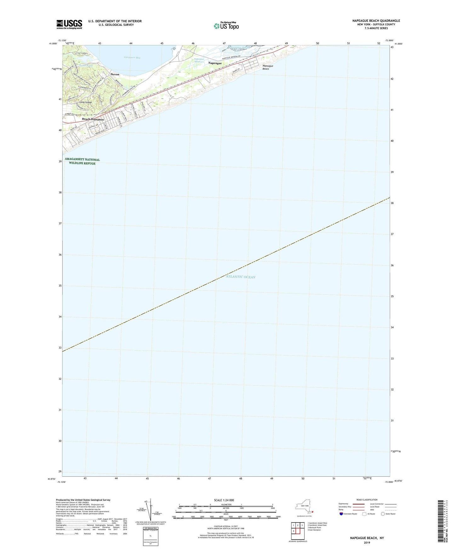
2023 topographic map quadrangle Napeague Beach in the state of New York. Scale: 1:24000. Based on the newly updated USGS 7.5' US Topo map series, this map is in the following counties: Suffolk. The map contains contour data, water features, and other items you are used to seeing on USGS maps, but also has updated roads and other features. This is the next generation of topographic maps. Printed on high-quality waterproof paper with UV fade-resistant inks.
Quads adjacent to this one:
West: East Hampton
Northwest: Gardiners Island West
North: Gardiners Island East
Northeast: Montauk Point
This map covers the same area as the classic USGS quad with code o40072h1.
Contains the following named places: Abrams Landing, Beach Hampton, Devon, Devon Yacht Club, Fresh Pond, Fresh Pond Landing, Napeague Beach, Napeague Census Designated Place, Napeague Coast Guard Station, Napeague Meadows, Promised Land, ZIP Code: 11930