MyTopo
Rotterdam Junction New York US Topo Map
Couldn't load pickup availability
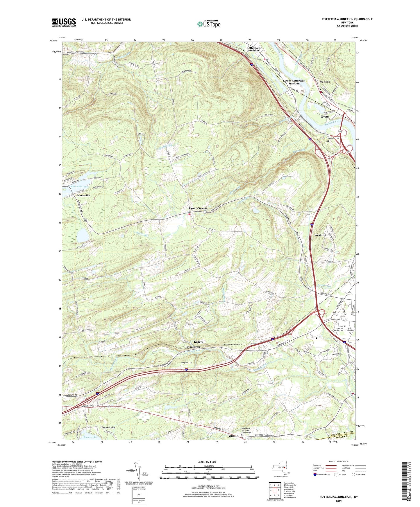
2023 topographic map quadrangle Rotterdam Junction in the state of New York. Scale: 1:24000. Based on the newly updated USGS 7.5' US Topo map series, this map is in the following counties: Schenectady, Albany. The map contains contour data, water features, and other items you are used to seeing on USGS maps, but also has updated roads and other features. This is the next generation of topographic maps. Printed on high-quality waterproof paper with UV fade-resistant inks.
Quads adjacent to this one:
West: Duanesburg
Northwest: Amsterdam
North: Pattersonville
Northeast: Burnt Hills
East: Schenectady
Southeast: Voorheesville
South: Altamont
Southwest: Gallupville
This map covers the same area as the classic USGS quad with code o42074g1.
Contains the following named places: Bonny Brook, Briar Creek Golf Course, Christ Church of the Hills, Duane Lake, Duane Lake Census Designated Place, Duanesburg Rest Area, Ellers School, Featherstonhaugh Lake, Ferguson Cemetery, Gifford, Hillcrest Mobile Home Park, Holy Cross Cemetery, Iroquois Club, Kelleys, Kingdom Hall of Jehovahs Witnesses, Lower Rotterdam Junction, Moccasin Kill, Mohawk Valley Airport, Pine Grove Fire Department, Plotter Kill, Plotterkill Volunteer Fire Company, Princetown, Princetown Church, Princetown Reformed Church, Princetown Reformed Church Cemetery, Princetown Town Hall, Rabbit Hollow, Rectors, Rectors Volunteer Fire District, Rotterdam Junction, Rotterdam Junction Fire District 1, Rotterdam Junction Post Office, Rotterdam Rest Area, Rynex Corners, Saint Cyril and Method Cemetery, Schalmont High School, Schalmont Middle School, Schenectady County, Schenectady Seventh Day Adventist Church, Sonrise Bible Church, Town of Princetown, Town of Rotterdam, Van Slyck Cemetery, Washout Creek, West Hill, WGY-AM (Schenectady), Woestina Elementary School, Wyatts, ZIP Codes: 12056, 12306


