MyTopo
Plum Island New York US Topo Map
Couldn't load pickup availability
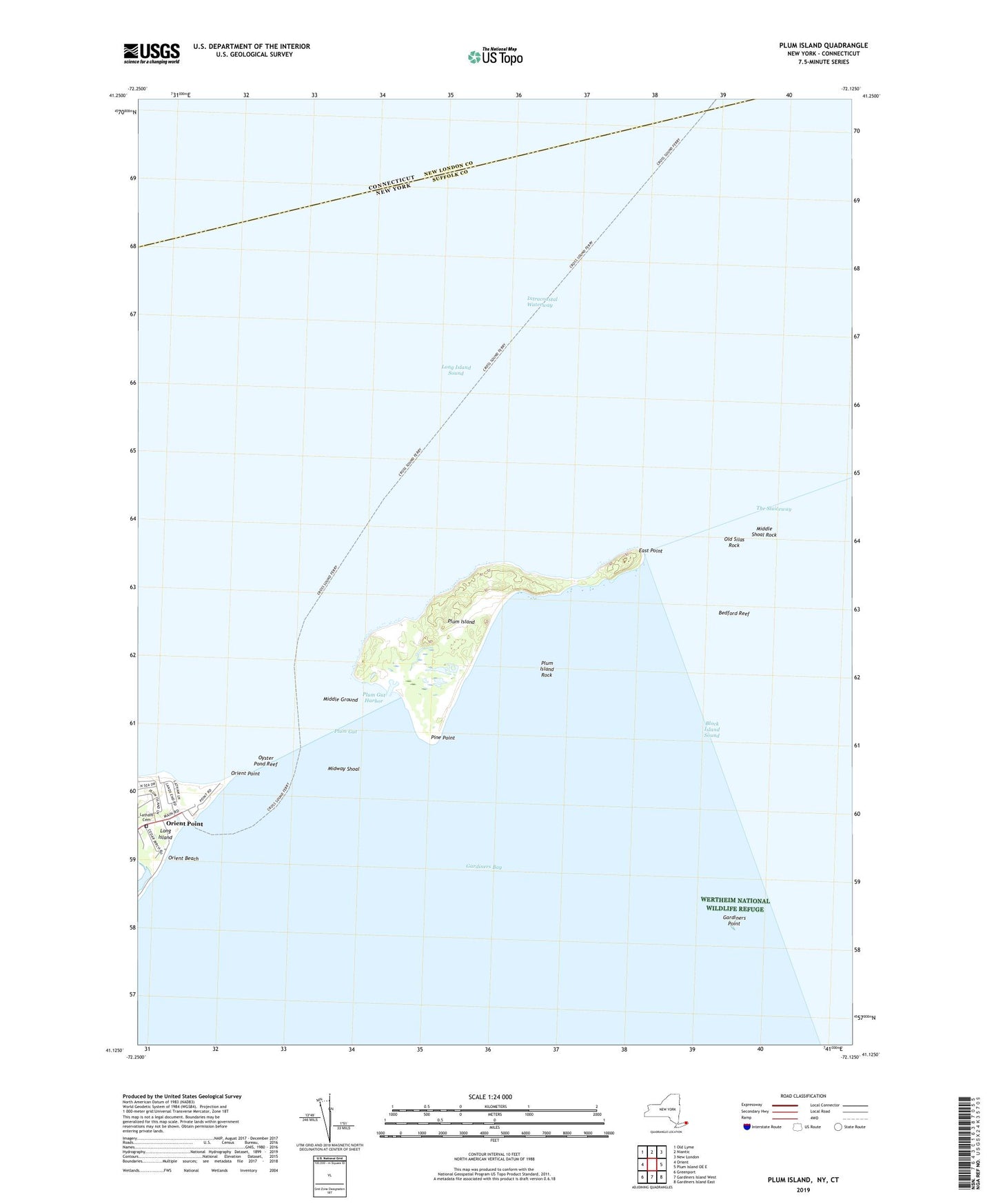
2023 topographic map quadrangle Plum Island in the state of New York. Scale: 1:24000. Based on the newly updated USGS 7.5' US Topo map series, this map is in the following counties: Suffolk, New London. The map contains contour data, water features, and other items you are used to seeing on USGS maps, but also has updated roads and other features. This is the next generation of topographic maps. Printed on high-quality waterproof paper with UV fade-resistant inks.
Quads adjacent to this one:
West: Orient
Northwest: Old Lyme
North: Niantic
Northeast: New London
East: Plum Island OE E
Southeast: Gardiners Island East
South: Gardiners Island West
Southwest: Greenport
This map covers the same area as the classic USGS quad with code o41072b2.
Contains the following named places: Battery Bogardus Eldridge, Battery Bradford, Battery Edmund Smith, Battery Henry Campbell, Battery James Dalliba, Battery John Greble, Battery Justin Dimick, Battery Kelly, Battery Peter Hagner, Battery Robert Floyd, Battery Steele, Battery Stoneman, Bedford Reef, East Point, Fort Terry, Fort Tyler, Gardiners Point, Gardiners Point Island Lighthouse, Latham Cemetery, Middle Ground, Middle Shoal Rock, Midway Shoal, Old Silas Rock, Orient Point, Orient Point Lighthouse, Oyster Pond Reef, Pine Point, Plum Gut, Plum Gut Harbor, Plum Island, Plum Island Lighthouse, Plum Island Rock, The Sluiceway, United States Department of Agriculture, ZIP Code: 11957