MyTopo
Pound Ridge New York US Topo Map
Couldn't load pickup availability
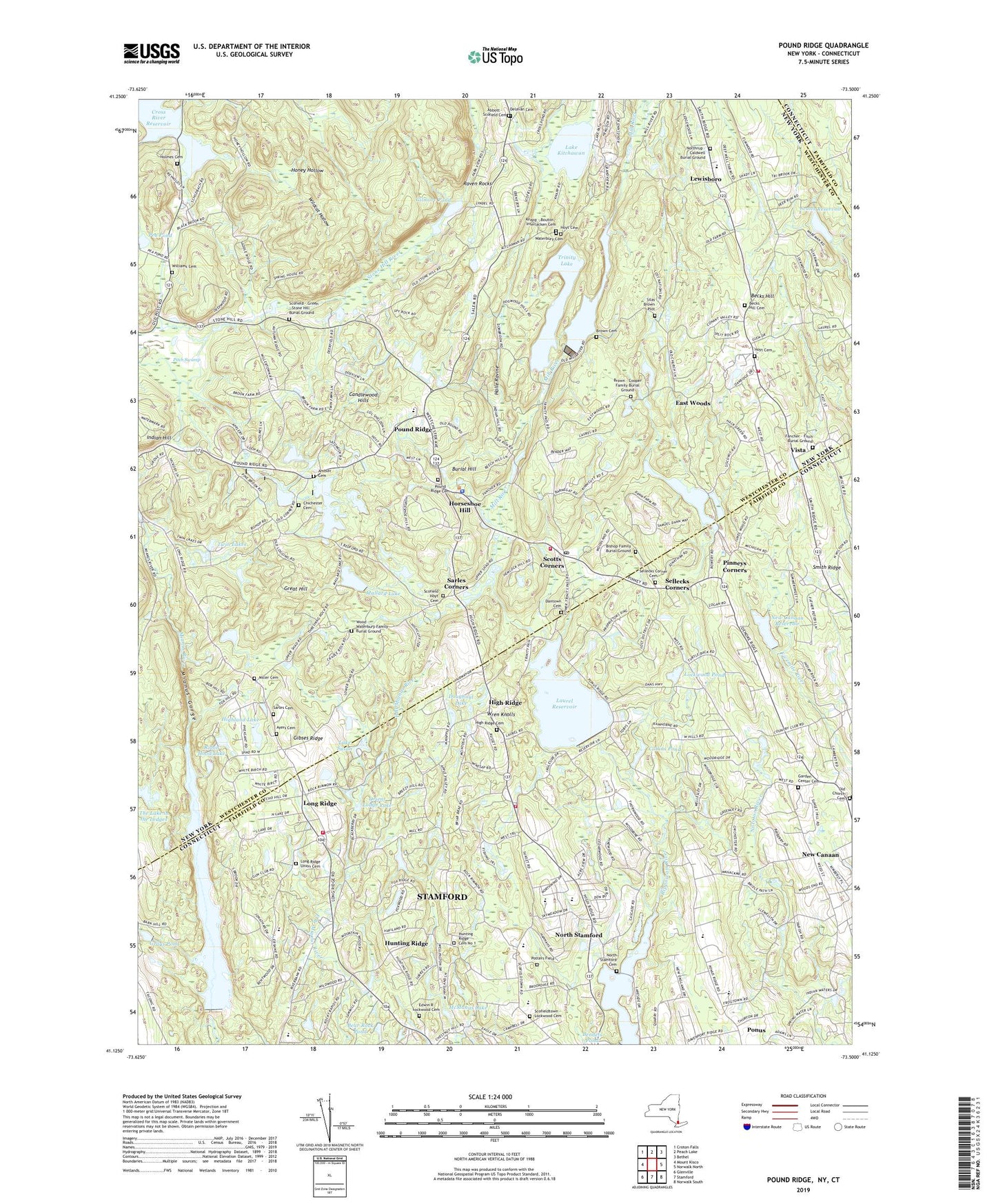
2023 topographic map quadrangle Pound Ridge in the states of New York, Connecticut. Scale: 1:24000. Based on the newly updated USGS 7.5' US Topo map series, this map is in the following counties: Westchester, Fairfield. The map contains contour data, water features, and other items you are used to seeing on USGS maps, but also has updated roads and other features. This is the next generation of topographic maps. Printed on high-quality waterproof paper with UV fade-resistant inks.
Quads adjacent to this one:
West: Mount Kisco
Northwest: Croton Falls
North: Peach Lake
Northeast: Bethel
East: Norwalk North
Southeast: Norwalk South
South: Stamford
Southwest: Glenville
This map covers the same area as the classic USGS quad with code o41073b5.
Contains the following named places: Abbott - Scofield Cemetery, Ambler Cemetery, Ayers Cemetery, Bartlett Arboretum Historic Preserve, Bartlett Arboretum Library, Bear Rock Pond, Becks Hill, Becks Hill Cemetery, Bernardine Convent, Bi-Cultural Day School, Bishop Family Burial Ground, Blue Heron Lake, Brown - Cooper Family Burial Ground, Brown Cemetery, Burial Hill, Candlewood Hills, Chestnut Hill Park, Chichester Cemetery, Collins Pond, Cox's Dam, Dantown Cemetery, Deercrest Country Club, Delavan Cemetery, Doughnut Lake, East Woods, Edwin R Lockwood Cemetery, Fancher - Fitch Burial Ground, Garden Center Cemetery, Gibses Ridge, Gilmore Pond, Grays Pond, Grays Pond Brook, Grays Pond Dam, Great Hill, Halle Ravine, Halle Ravine Preserve, Heroy Recreation Area, High Ridge, High Ridge Cemetery, High Ridge Country Club, Highland Lake, Hiram Halle Memorial Library, Holmes Cemetery, Holy Spirit School, Honey Hollow, Horseshoe Hill, Hoyt Cemetery, Hunting Ridge Cemetery No 1, Hunting Ridge Church, Jeremy Richard Library, Knapp - Bouton - Interlacken Cemetery, Lake Kitchawan, Lake Susan, Laurel Reservoir, Laurel Reservoir Dam, Lewisboro, Lockwood Pond, Long Ridge, Long Ridge Congregational Church, Long Ridge Fire Company Station 1, Long Ridge Fire Company Station 2, Long Ridge School, Long Ridge Union Cemetery, Long Ridge Village Historic District, Mallard Lake, McManus Lake, Meads Corner, Mianus Gorge, Mianus Reservoir, Mianus Reservoir Dam, Mill River, Miller Cemetery, Murphy's Corner, New Canaan Country School, New Canaan Nature Center, New Canaan Reservoir, New Canaan Reservoir Dam, North Stamford, North Stamford Cemetery, North Stamford Congregational Church, North Stamford Reservoir, Northrup - Caldwell Burial Ground, Old Church Cemetery, Orient Lodge Lake, Pea Pond, Pinneys Corners, Piping Brook, Pitch Swamp, Ponus, Potters Field, Pound Ridge, Pound Ridge Cemetery, Pound Ridge Lions Ambulance Corps, Pound Ridge Museum, Pound Ridge Police Department, Pound Ridge Post Office, Pound Ridge Town House, Pound Ridge Volunteer Fire Department, Raven Rocks, Robin Hood Lake, Rockrimmon Country Club, Saint Pauls Church, Sarles Cemetery, Sarles Corners, Scofield - Green - Stone Hill Burial Ground, Scofield - Hoyt Cemetery, Scofield Magnet Middle School, Scofield Park, Scofieldtown - Lockwood Cemetery, Scotts Brook, Scotts Corners, Scotts Corners Census Designated Place, Scotts Reservoir, Sellecks Corner Cemetery, Sellecks Corners, Silas Brown Plot, Siscowit Reservoir, Siscowit Reservoir Dam, Smith Ridge, Stamford Museum, Stamford Nature Center, The Lake in the Ledges, Town of Pound Ridge, Trinity Lake, Twin Lakes, University of Connecticut Stamford Branch, Vista, Vista Fire Department, Ward Pound Ridge Reservation, Waterbury Cemetery, Wildcat Hollow, Williams Cemetery, Wood - Waterbury Family Burial Ground, Wren Knolls, ZIP Codes: 06840, 06903, 10576


