MyTopo
Raquette Lake New York US Topo Map
Couldn't load pickup availability
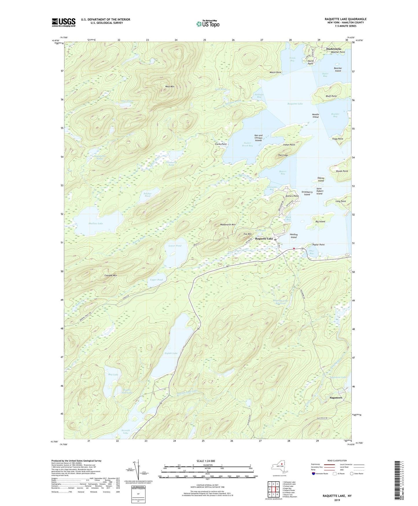
2023 topographic map quadrangle Raquette Lake in the state of New York. Scale: 1:24000. Based on the newly updated USGS 7.5' US Topo map series, this map is in the following counties: Hamilton. The map contains contour data, water features, and other items you are used to seeing on USGS maps, but also has updated roads and other features. This is the next generation of topographic maps. Printed on high-quality waterproof paper with UV fade-resistant inks.
Quads adjacent to this one:
West: Eagle Bay
Northwest: Nehasane Lake
North: Brandreth Lake
Northeast: Forked Lake
East: Sargent Ponds
Southeast: Wakely Mountain
South: Mount Tom
Southwest: Limekiln Lake
This map covers the same area as the classic USGS quad with code k43074g5.
Contains the following named places: Antlers Point, Beaver Bay, Beaver Brook, Beecher Island, Big Island, Bluff Point, Boucher Point, Boulder Bay, Browns Tract Inlet, Browns Tract Pond, Browns Tract Pond State Campground, Bug Lake, Camp Pine Knot, Cascade Mountain, Clarks Point, Cranberry Pond, Duck Bay, Eagles Nest Lake, Echo Camp, Eighth Lake, Eighth Lake State Campground, Fox Mountain, Fox Pond, Harding Island, Hasbroucks, Haymarsh Ponds, Hen and Chicken Islands, Indian Point, Inman Island, Lone Pond, Lonesome Bay, Long Point, Lower Pond, Needle Island, North Bay, North Point, Osprey Island, Otter Bay, Otter Pond, Pelcher Pond, Pine Knot Point, Poplar Point, Quaker Beach, Raquette Lake, Raquette Lake Post Office, Raquette Lake Reservoir, Raquette Lake School, Raquette Lake Volunteer Fire Department, Sagamore, Sagamore Camp, Saint Hubert Island, Saint Williams Church, Seventh Lake Inlet, Shallow Lake, Stillman Bay, Stillman Brook, Strawberry Island, Sucker Brook, Sucker Brook Bay, The Crags, Tioga Point, Tioga Point State Campground, Union School, Upper Pond, Wadsworth Mountain, Watch Point, West Mountain, Woods Point, ZIP Code: 13436


