MyTopo
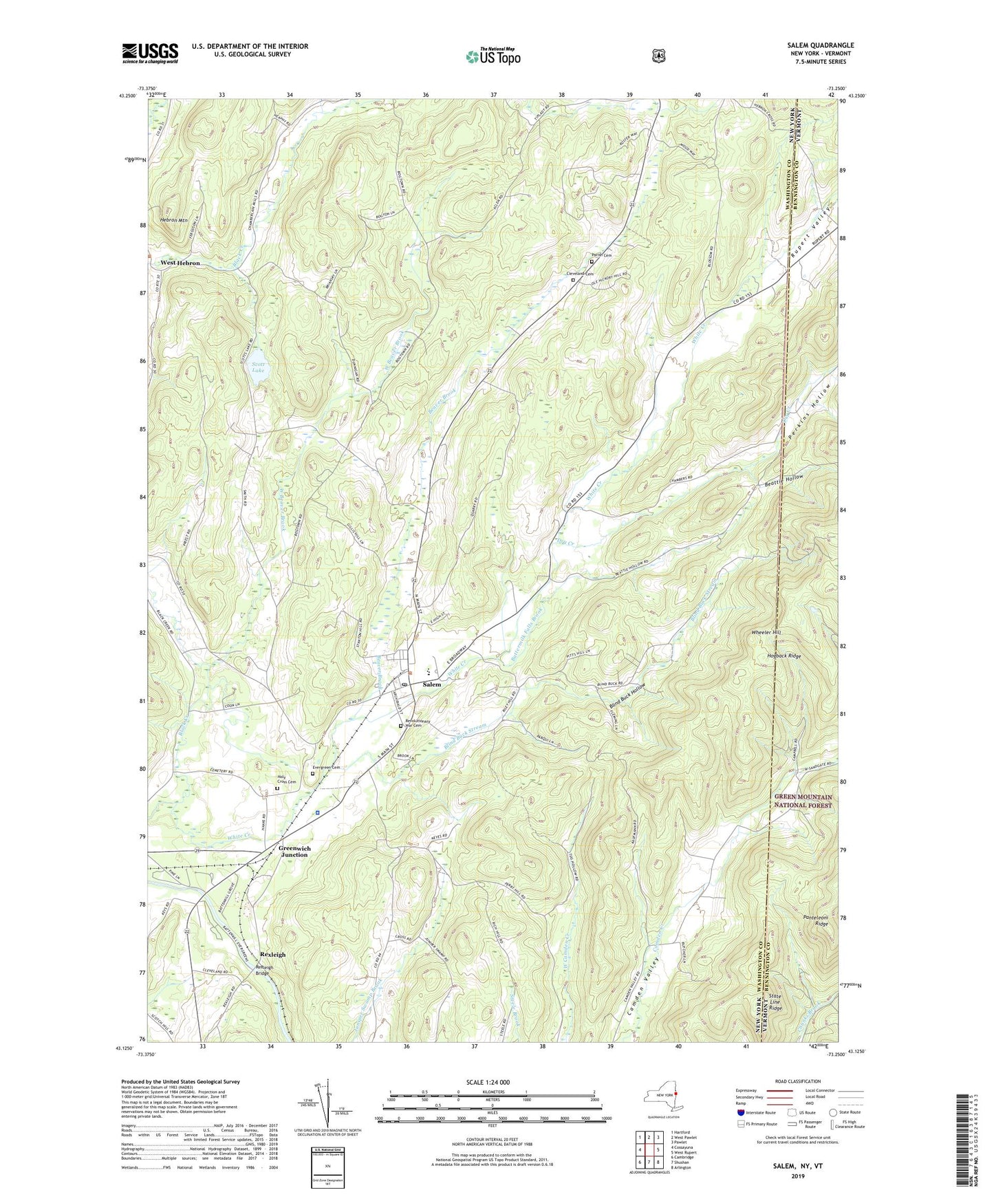
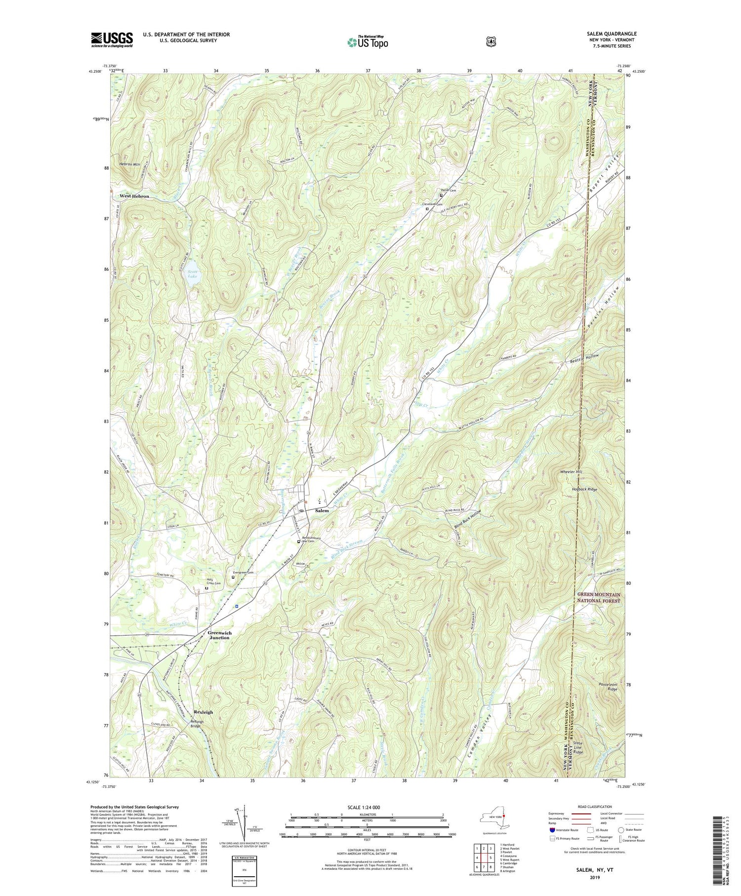
Salem New York US Topo Map
Couldn't load pickup availability
2019 topographic map quadrangle Salem in the states of New York, Vermont. Scale: 1:24000. Based on the newly updated USGS 7.5' US Topo map series, this map is in the following counties: Washington, Bennington. The map contains contour data, water features, and other items you are used to seeing on USGS maps, but also has updated roads and other features. This is the next generation of topographic maps. Printed on high-quality waterproof paper with UV fade-resistant inks.
Quads adjacent to this one:
West: Cossayuna
Northwest: Hartford
Northeast: Pawlet
East: West Rupert
Southeast: Arlington
South: Shushan
Southwest: Cambridge
Contains the following named places: Baldwin Brook, Bancroft Public Library, Battenkill Railroad Station, Beattie Hollow, Beaver Brook, Blind Buck Hollow, Blind Buck Stream, Buttermilk Falls Brook, Chambers Valley Farms, Cleveland Cemetery, Dry Creek, Evergreen Cemetery, First Presbyterian Church, Greenwich Junction, Hebron Mountain, Hogback Ridge, Holy Cross Catholic Church, Holy Cross Cemetery, Panteleoni Ridge, Parish Cemetery, Perkins Hollow, Revolutionary War Cemetery, Rexleigh, Rexleigh Bridge, Rupert Valley, Salem, Salem Census Designated Place, Salem Central School, Salem Historic District, Salem Methodist Church, Salem Post Office, Salem Rescue Squad, Scott Lake, State Line Ridge, Terry Brook, Town of Salem, Village of Salem, Washington County Jail, West Beaver Brook, West Hebron Presbyterian Church, Wheeler Hill, White Creek, ZIP Code: 12865