MyTopo
Taborton New York US Topo Map
Couldn't load pickup availability
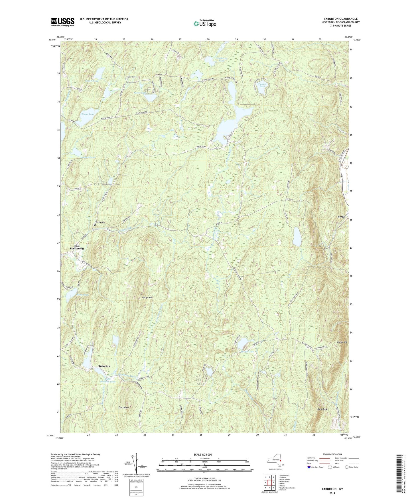
2023 topographic map quadrangle Taborton in the state of New York. Scale: 1:24000. Based on the newly updated USGS 7.5' US Topo map series, this map is in the following counties: Rensselaer. The map contains contour data, water features, and other items you are used to seeing on USGS maps, but also has updated roads and other features. This is the next generation of topographic maps. Printed on high-quality waterproof paper with UV fade-resistant inks.
Quads adjacent to this one:
West: Averill Park
Northwest: Tomhannock
North: Grafton
East: Berlin
Southeast: Hancock
South: Stephentown Center
Southwest: Nassau
Contains the following named places: Big Bowman Pond, Bonesteel Pond, Buck Rock, Bucks Corner, Camp Kiwanis, Cranberry Pond, Cranberry Vly Creek, Dutch Church, Dyken Pond, East Poestenkill, Fifty Six Cemetery, Fifty Six Church, First Baptist Church of East Poestenkill, Forest Lake, Gravel Pond, Hicks Pond, Hosford Pond, Kendall Pond, Little Bowman Pond, Perigo Hill, Rocky Hill, Round Pond, School Number 7, Snyder Cemetery, Snyder School, South Long Pond, Spring Lake, Taborton, Taconic Pond, The Gipfel, Toad Point School, Union Gospel Church, Wager Pond, Zion United Church of Christ, ZIP Code: 12153


