MyTopo
Haskinville New York US Topo Map
Couldn't load pickup availability
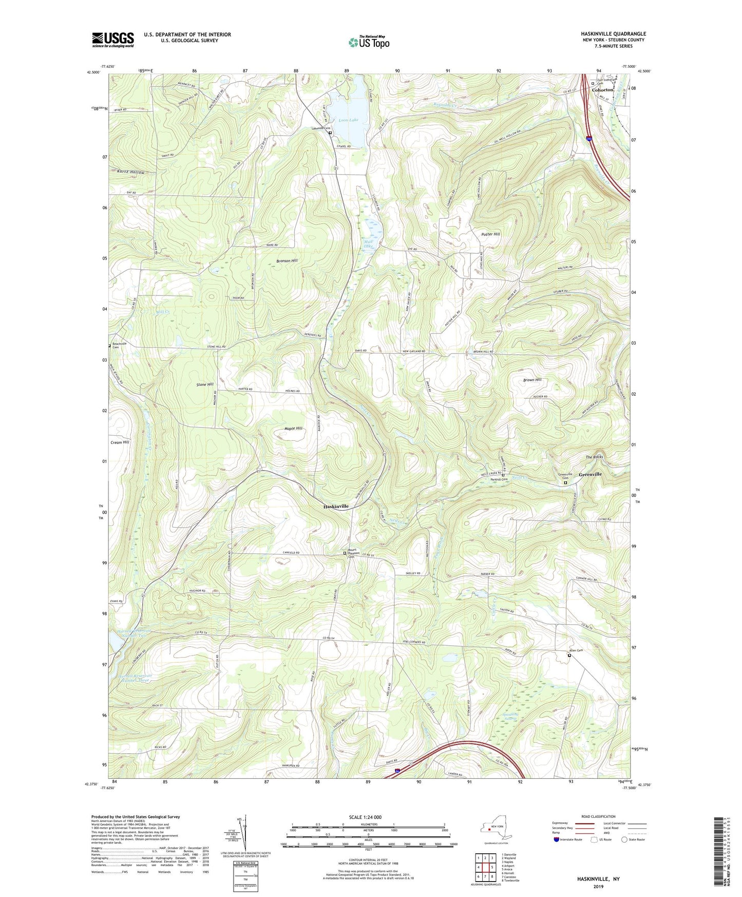
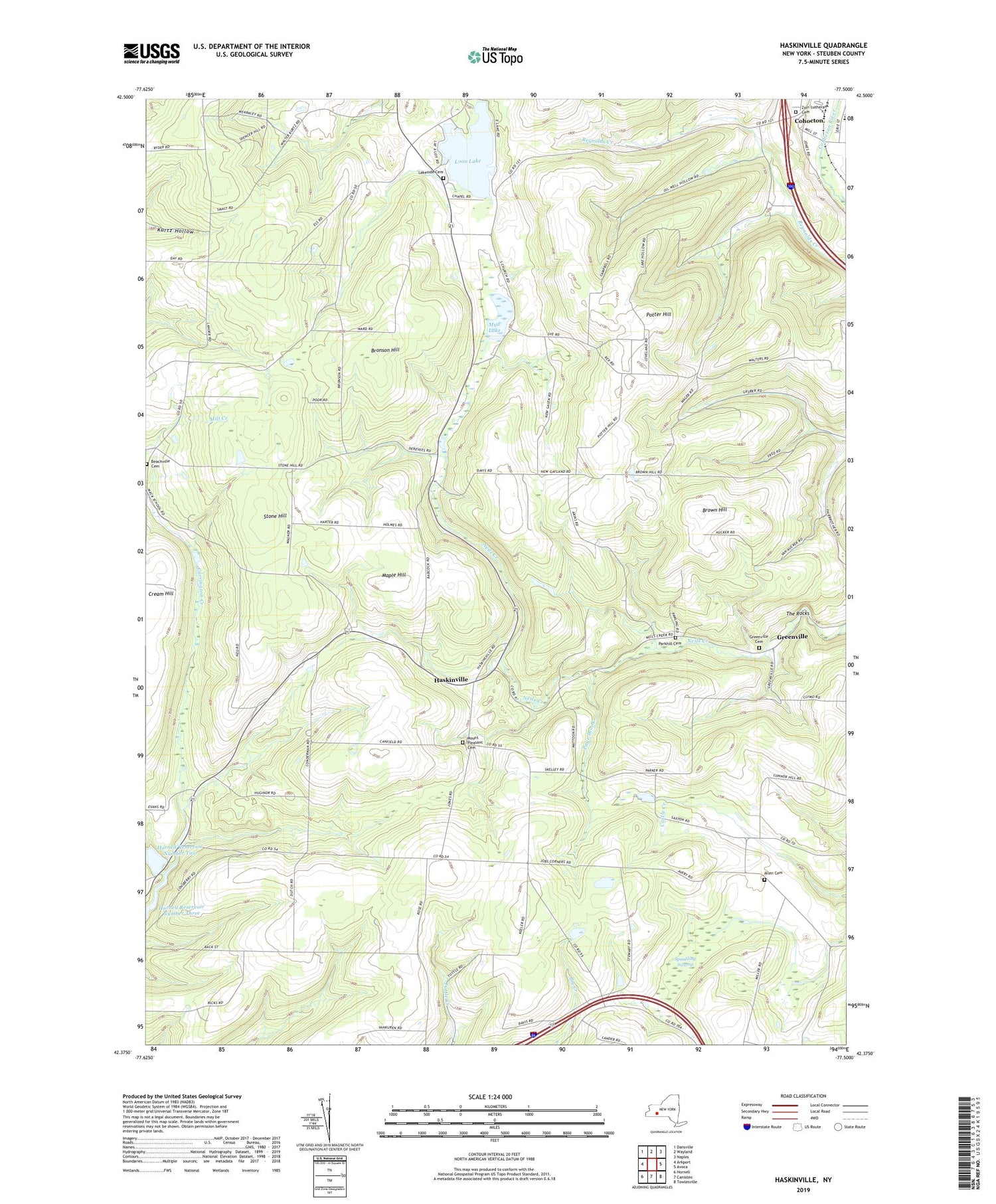
2023 topographic map quadrangle Haskinville in the state of New York. Scale: 1:24000. Based on the newly updated USGS 7.5' US Topo map series, this map is in the following counties: Steuben. The map contains contour data, water features, and other items you are used to seeing on USGS maps, but also has updated roads and other features. This is the next generation of topographic maps. Printed on high-quality waterproof paper with UV fade-resistant inks.
Quads adjacent to this one:
West: Arkport
Northwest: Dansville
North: Wayland
Northeast: Naples
East: Avoca
Southeast: Towlesville
South: Canisteo
Southwest: Hornell
This map covers the same area as the classic USGS quad with code o42077d5.
Contains the following named places: Allen Cemetery, Babcock School, Bacon School, Beachville Cemetery, Brasted School, Bronson Hill, Brown Hill, Brown Hill School, Brownson School, Carrington Creek, Cohocton Elementary School, Cream Hill, D C Helicopters Heliport, Dutch Street School, Greenville, Greenville Cemetery, Greenville School, Gulf School, Haskinville, Haskinville School, Haskinville Wesleyan Church, Healey School, Hornell Reservoir Number Two, Jobs Corner, Lake Hollow School, Lakeside Cemetery, Loon Lake, Loon Lake Chapel, Loon Lake School, Mack School, Maple Hill, Mount Pleasant Cemetery, Mud Lake, New Gayland School, Oil Well Hollow, Page Brook, Parkhill Cemetery, Potter Hill, Potter Hill School, Spaulding Swamp, Stone Hill, Swamp School, The Rocks, Town of Fremont, Village of Cohocton, Zion Lutheran Cemetery, Zion Lutheran Church of Cohocton


