MyTopo
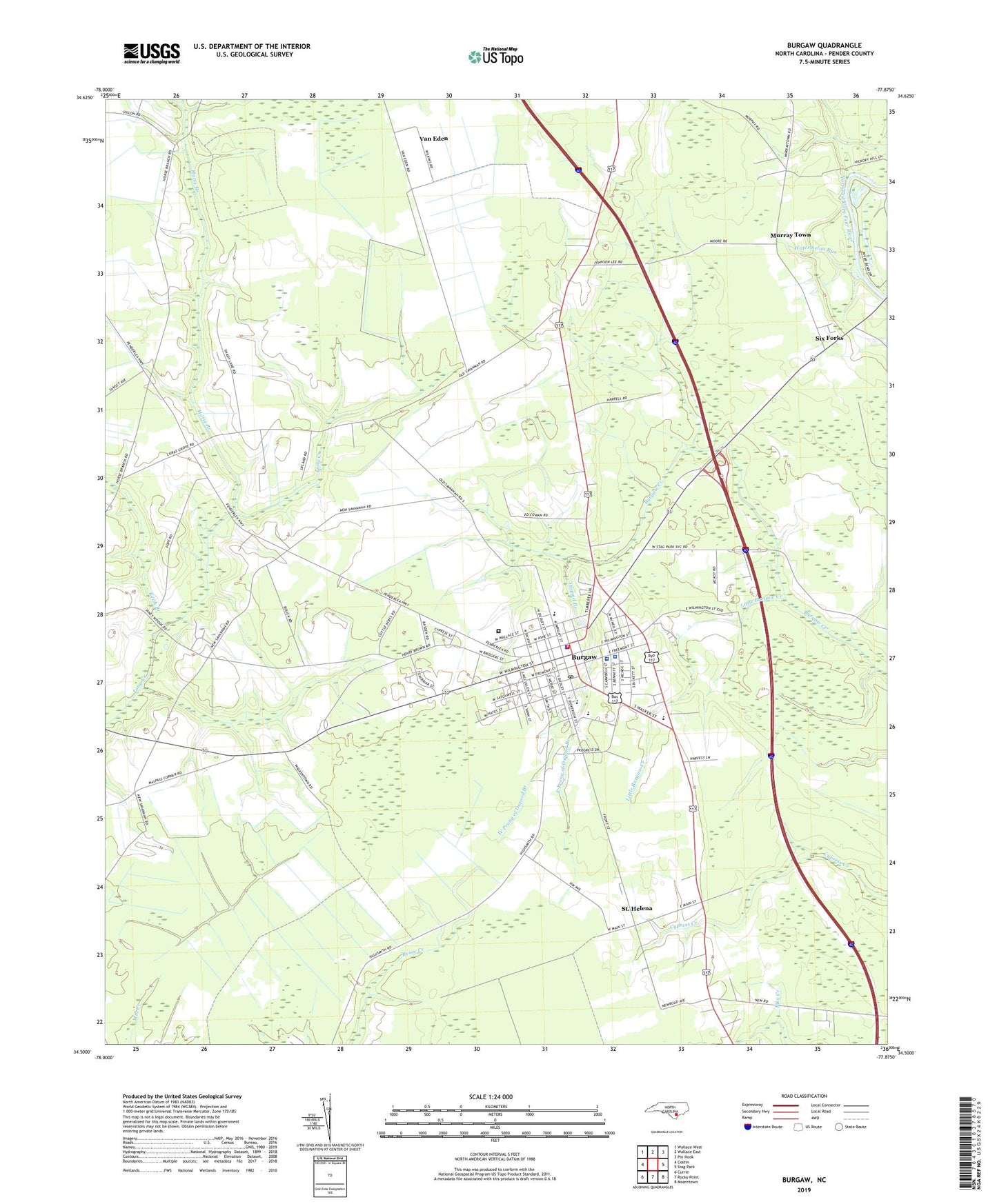
Burgaw North Carolina US Topo Map
Couldn't load pickup availability
2022 topographic map quadrangle Burgaw in the state of North Carolina. Scale: 1:24000. Based on the newly updated USGS 7.5' US Topo map series, this map is in the following counties: Pender. The map contains contour data, water features, and other items you are used to seeing on USGS maps, but also has updated roads and other features. This is the next generation of topographic maps. Printed on high-quality waterproof paper with UV fade-resistant inks.
Quads adjacent to this one:
West: Costin
Northwest: Wallace West
North: Wallace East
Northeast: Pin Hook
East: Stag Park
Southeast: Mooretown
South: Rocky Point
Southwest: Currie
This map covers the same area as the classic USGS quad with code o34077e8.
Contains the following named places: Bible Baptist Church, Burgaw, Burgaw Baptist Church, Burgaw Elementary School, Burgaw Fire Department, Burgaw Holiness Church, Burgaw Middle School, Burgaw Police Department, Burgaw Post Office, Burgaw Seventh Day Adventist Church, Burgaw Town Hall, Burgaw United Methodist Church, Burgaw Wastewater Treatment Plant, Coras Grove Church, East Prong of Osgood Branch, Forest Hills Church, Friendly Community Church, Harrells Chapel, Hopewell Church, Horse Branch, Huntington Health Care and Retirement Center, Keith Branch, Kingdom Hall of Jehovahs Witnesses, Little Burgaw Creek, Mount Pisgah Baptist Church, Mount Sinai Church, Murray Town, North Carolina State Highway Patrol Troop B District 4 Substation, Osgood Branch, Pander County Public Library - Central Branch, Pender Correctional Institution, Pender County, Pender County Sheriff's Office, Pender Memorial Hospital, Pender Volunteer Emergency Medical Services and Rescue Station 1, Resoe Creek, Saint Helena, Saint John United Holy Church, Saint Josephs Church, Saint Marys Church, Saints Peter and Paul Church, Six Forks, Town of Burgaw, Township of Burgaw, Van Eden, Village of Saint Helena, Watermelon Run, Way of the Truth and the Life Church, West Prong of Osgood Branch, WVBS-AM (Burgaw), ZIP Code: 28425


