MyTopo
Copeland North Carolina US Topo Map
Couldn't load pickup availability
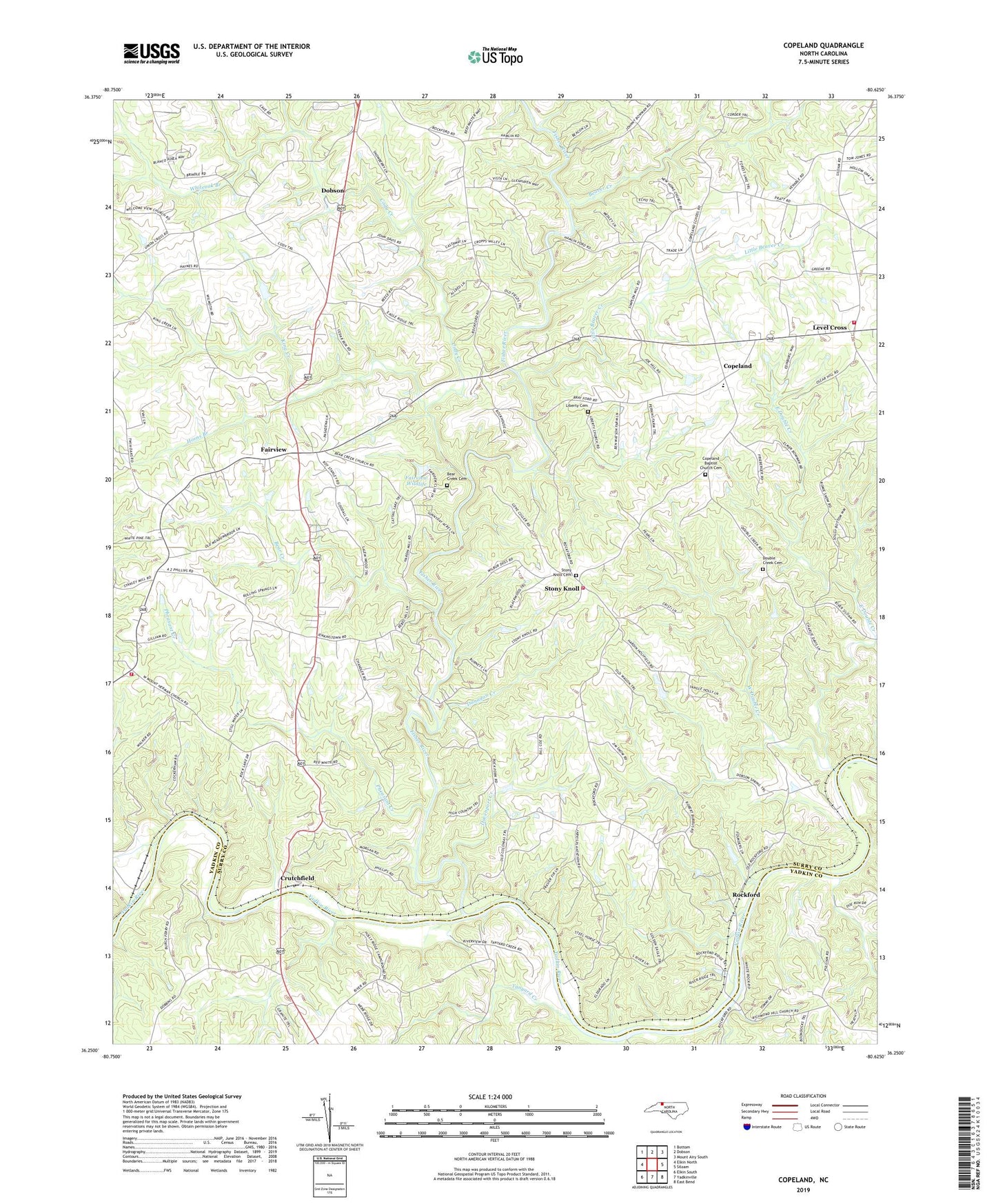
2022 topographic map quadrangle Copeland in the state of North Carolina. Scale: 1:24000. Based on the newly updated USGS 7.5' US Topo map series, this map is in the following counties: Surry, Yadkin. The map contains contour data, water features, and other items you are used to seeing on USGS maps, but also has updated roads and other features. This is the next generation of topographic maps. Printed on high-quality waterproof paper with UV fade-resistant inks.
Quads adjacent to this one:
West: Elkin North
Northwest: Bottom
North: Dobson
Northeast: Mount Airy South
East: Siloam
Southeast: East Bend
South: Yadkinville
Southwest: Elkin South
This map covers the same area as the classic USGS quad with code o36080c6.
Contains the following named places: Bear Creek, Bear Creek Baptist Church, Bear Creek Cemetery, Beaver Creek, Blackwoods Bloomery Forge, C C Camp Volunteer Fire Department Substation, Cody Creek, Cody Park, Combs Mill, Copeland, Copeland Baptist Church, Copeland Baptist Church Cemetery, Copeland Elementary School, Copeland High School, Crutchfield, Davenport Creek, Double Creek, Double Creek Cemetery, Double Creek Church, Dunagan Creek, East Double Creek, Fairview, Fairview Baptist Church, Fairview Wildlife, Fairview Wildlife Club Dam, Fall Creek, Fall Creek Mill, Fisher River, Holafields Bloomery Forge, Horns Branch, Hyatts Forge Number 2, John Dobson Home, King Creek, Level Cross, Level Cross United Methodist Church, Liberty Cemetery, Liberty Primitive Baptist Church, Little Beaver Creek, Mount Herman Church, Mount Pleasant Church, New Hope Church, Pheasant Creek, Rockford, Rockford Baptist Church, Rockford Courthouse, Rockford Ferry, Rockford Historic District, Rockford Methodist Church, Rockford School, Rutledge Bloomery Forge, South Surry Volunteer Fire Department, Stony Knoll, Stony Knoll Cemetery, Stony Knoll Methodist Church, Tanyard Creek, Township of Rockford, West Double Creek, White Rock Ford, Whiteoak Branch, York Tavern


