MyTopo
East Lake SE North Carolina US Topo Map
Couldn't load pickup availability
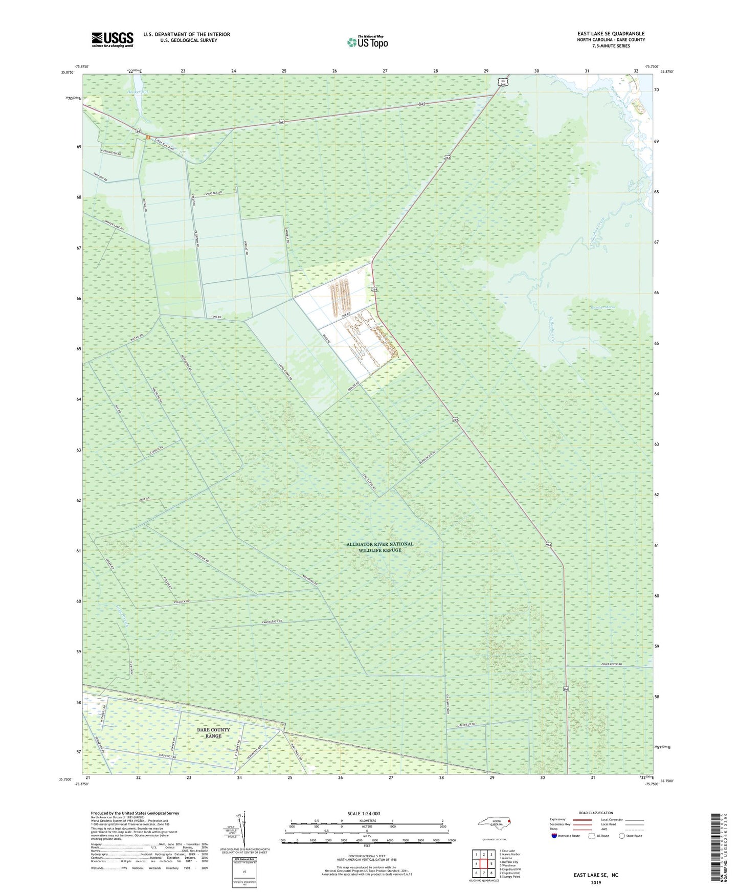
2022 topographic map quadrangle East Lake SE in the state of North Carolina. Scale: 1:24000. Based on the newly updated USGS 7.5' US Topo map series, this map is in the following counties: Dare. The map contains contour data, water features, and other items you are used to seeing on USGS maps, but also has updated roads and other features. This is the next generation of topographic maps. Printed on high-quality waterproof paper with UV fade-resistant inks.
Quads adjacent to this one:
West: Buffalo City
Northwest: East Lake
North: Manns Harbor
Northeast: Manteo
East: Wanchese
Southeast: Stumpy Point
South: Engelhard NE
Southwest: Engelhard NW
This map covers the same area as the classic USGS quad with code o35075g7.
Contains the following named places: Alligator River National Wildlife Refuge, Billys Ditch, Roanoke Marsh