MyTopo
Manchester North Carolina US Topo Map
Couldn't load pickup availability
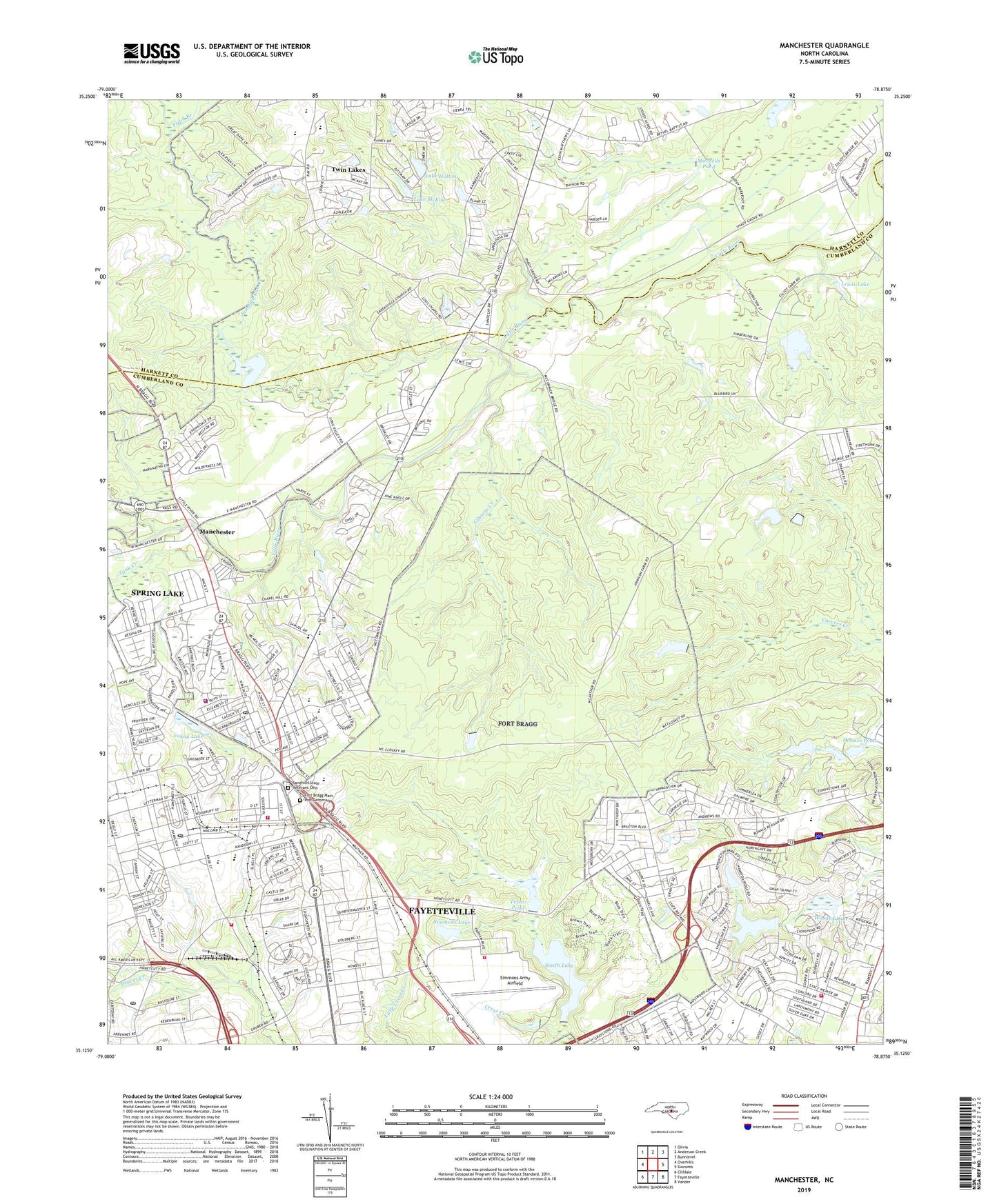
2022 topographic map quadrangle Manchester in the state of North Carolina. Scale: 1:24000. Based on the newly updated USGS 7.5' US Topo map series, this map is in the following counties: Cumberland, Harnett. The map contains contour data, water features, and other items you are used to seeing on USGS maps, but also has updated roads and other features. This is the next generation of topographic maps. Printed on high-quality waterproof paper with UV fade-resistant inks.
Quads adjacent to this one:
West: Overhills
Northwest: Olivia
North: Anderson Creek
Northeast: Bunnlevel
East: Slocomb
Southeast: Vander
South: Fayetteville
Southwest: Clifdale
This map covers the same area as the classic USGS quad with code o35078b8.
Contains the following named places: Anzio Acres, Ardennes, Ascot II, Bastogne Gables, Bataan, Bethel Church, Bougainville, Casablanca, College Lake, College Lake Dam, College Lakes Elementary School, Corregidor, Eureka Church, Eureka Springs, Fayetteville Fire Department Station 7, Fort Bragg Fire and Emergency Services Station 1, Fort Bragg Fire and Emergency Services Station 2, Fort Bragg Fire and Emergency Services Station 4, Fort Bragg Macomb Post Office, Fort Bragg Main Post Cemetary, Fort Bragg Post Office, Fort Junction, Gibsons Creek, Holmes Pond, Howard L Hall Elementary School, Jumping Run Creek, Lake Holton, Lake McKay, Lewis Lake, Lewis Lake Dam, Long Valley Farm Lake, Long Valley Farm Lake Dam, Manchester, Mitchells Pond, Mitchells Pond Dam, NC Noname One-Thousand Thirty-One Dam, Normandy Heights, Pine Forest Senior High School, Pistol Branch, Rakksan Chapel, Sandhills State Veterans Cemetery, Simmons Army Airfield, Simmons Lake, Smith Lake, Smith Lake Dam, Spring Lake, Spring Lake Fire Department, Spring Lake Police Department, Spring Lake Post Office, Tank Creek, Texas Lake, Texas Pond, Texas Pond Dam, Town of Spring Lake, Twin Lakes, WFBS-AM (Spring Lake), Woodbridge, Wooded Lake, Young Lake, ZIP Codes: 28307, 28311, 28390


