MyTopo
Montreat North Carolina US Topo Map
Couldn't load pickup availability
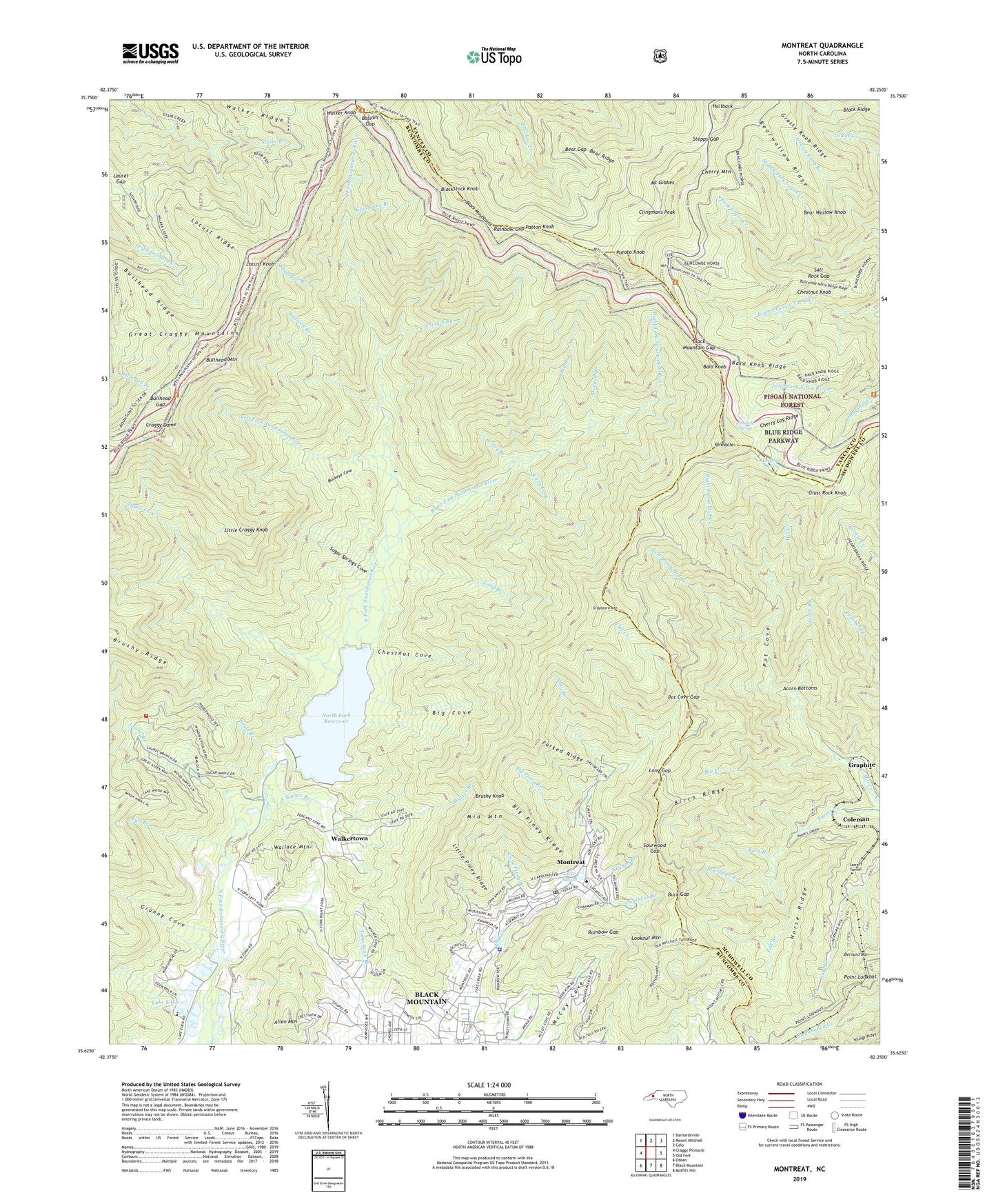
2019 topographic map quadrangle Montreat in the state of North Carolina. Scale: 1:24000. Based on the newly updated USGS 7.5' US Topo map series, this map is in the following counties: Buncombe, McDowell, Yancey. The map contains contour data, water features, and other items you are used to seeing on USGS maps, but also has updated roads and other features. This is the next generation of topographic maps. Printed on high-quality waterproof paper with UV fade-resistant inks.
Quads adjacent to this one:
West: Craggy Pinnacle
Northwest: Barnardsville
North: Mount Mitchell
Northeast: Celo
East: Old Fort
Southeast: Moffitt Hill
South: Black Mountain
Southwest: Oteen
Contains the following named places: Acorn Bottoms, Acorn Branch, Allen Mountain, Asheville Watershed, Bald Knob, Bald Knob Ridge, Balsam Gap, Barn Branch, Bear Gap, Bear Ridge, Bear Wallow Knob, Bearwallow Ridge, Bernard Mountain, Big Branch, Big Cove, Big Creek, Big Piney Branch, Big Piney Ridge, Birch Ridge, Black Mountain College, Black Mountain Fire Department Station 4 - 3, Black Mountain Gap, Blackstock Knob, Boardpan Branch, Brushy Knob, Brushy Ridge, Buck Gap, Buckeye Cove, Bullhead Gap, Bullhead Mountain, Bullhead Ridge, Buncombe Horse Range Ridge, Burnett Reservoir, Cherry Log Ridge, Cherry Mountain, Chestnut Cove, Chestnut Knob, Clingmans Peak, Coleman, Craggy Dome, Dry Branch, Fall Branch, Forked Ridge, Glass Rock Knob, Glassmine Branch, Granny Cove, Graphite, Grassy Knob Branch, Grassy Knob Ridge, Graybeard Mountain, Hallback, Hemphill Creek, Hemphill Spring, Homers Chapel, Horse Ridge, Jarrett Tunnel, Kitchen Branch, Lake Eden, Lake Susan, Laurel Branch, Laurel Gap, Left Fork Swannanor River, Left Prong Mill Creek, Left Prong South Toe River, Little Craggy Knob, Little Fork, Little Piney Branch, Little Piney Ridge, Locust Knob, Locust Ridge, Long Branch, Long Gap, Lookout Mountain, Middle Fork Upper Creek, Middle Mountain, Montreat, Montreat Police Department, Montreat Post Office, Montreat Reservoir, Morgan Branch, Mount Gibbes, Mount View Church, Mount Zion Church, North Fork Dam, North Fork Reservoir, Patton Knob, Pinnacle, Pinnacle Spring, Pot Cove, Pot Cove Gap, Potato Knob, Puncheon Branch, Rainbow Gap, Right Fork Swannanoa River, Right Prong Mill Creek, Salt Rock Gap, Saltrock Branch, Shadepen Branch, Shute Branch, Slaty Branch, Sourwood Gap, South Fork Upper Creek, Stepps Gap, Stony Fork, Sugar Fork, Sugar Springs Cove, Town of Montreat, Township of Black Mountain, Walker Branch, Walker Knob, Walker Ridge, Walkertown, Wallace Mountain, WMIT-FM (Black Mountain), ZIP Code: 28757