MyTopo
Barnardsville North Carolina US Topo Map
Couldn't load pickup availability
Also explore the Barnardsville Forest Service Topo of this same quad for updated USFS data
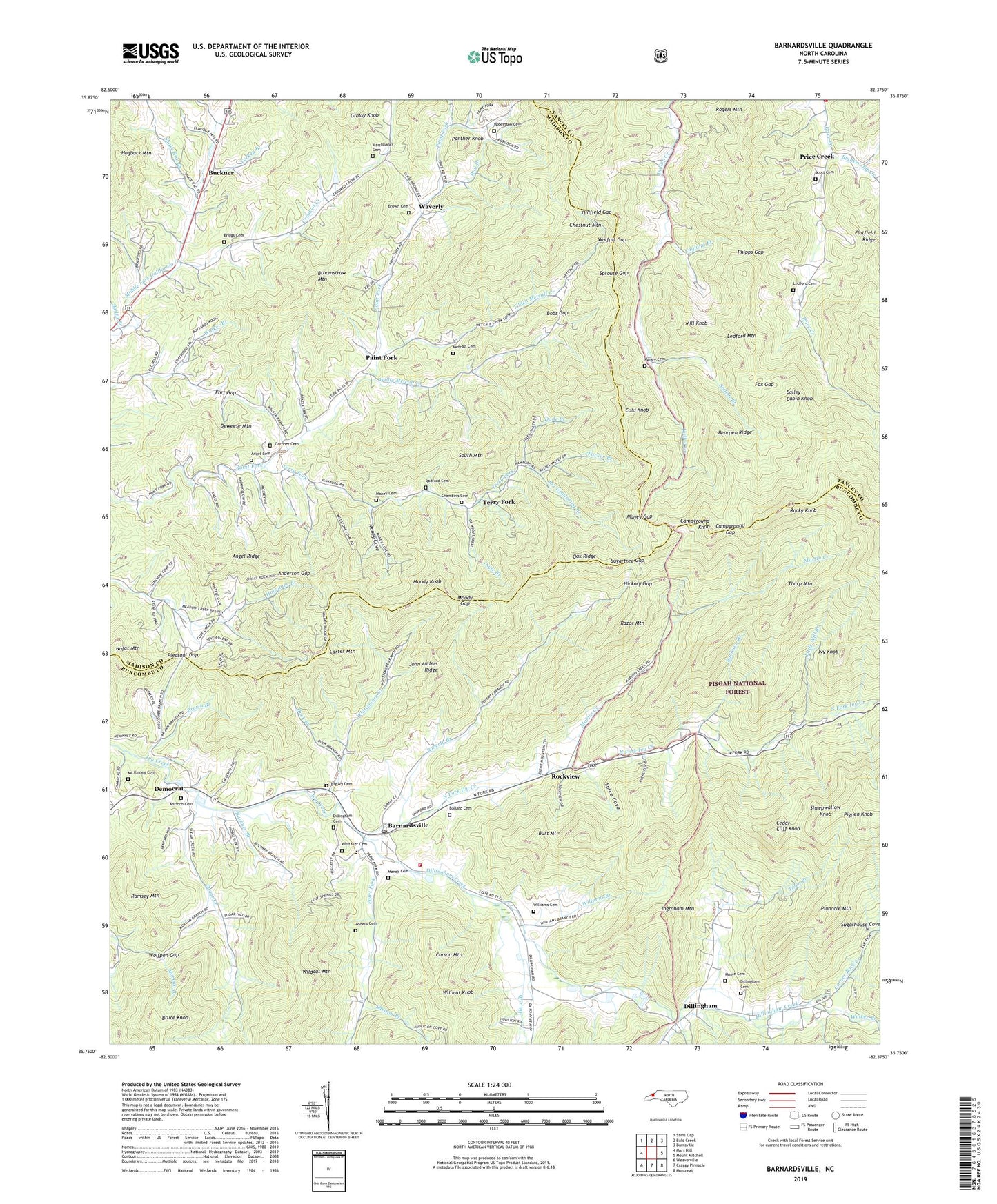
2022 topographic map quadrangle Barnardsville in the state of North Carolina. Scale: 1:24000. Based on the newly updated USGS 7.5' US Topo map series, this map is in the following counties: Buncombe, Madison, Yancey. The map contains contour data, water features, and other items you are used to seeing on USGS maps, but also has updated roads and other features. This is the next generation of topographic maps. Printed on high-quality waterproof paper with UV fade-resistant inks.
Quads adjacent to this one:
West: Mars Hill
Northwest: Sams Gap
North: Bald Creek
Northeast: Burnsville
East: Mount Mitchell
Southeast: Montreat
South: Craggy Pinnacle
Southwest: Weaverville
This map covers the same area as the classic USGS quad with code o35082g4.
Contains the following named places: Absalom Dillingham Cemetery, Anders Cemetery, Anderson Gap, Angel Cemetery, Angel Ridge, Antioch Cemetery, Antioch Church, Bailey Branch, Bailey Cabin Knob, Ballard Cemetery, Barnardsville, Barnardsville Census Designated Place, Barnardsville Church, Barnardsville Elementary School, Barnardsville Post Office, Barnardsville Volunteer Fire Department, Bearpen Ridge, Big Deadening Branch, Big Ivy Cemetery, Blankenship Creek, Bobs Gap, Bradley Gap, Briggs Cemetery, Broomstraw Mountain, Brown Branch, Brown Cemetery, Bruce Knob, Buckner, Buckner Branch, Burleson Branch, Burt Mountain, Campground Gap, Campground Knob, Carson Mountain, Carter Mountain, Cedar Cliff Knob, Chambers Cemetery, Chestnut Mountain, Cold Knob, Corner Rock Creek, Corner Rock Picnic Area, Crooked Creek, Dade Branch, Democrat, Democrat Church, Deweese Mountain, Dillingham, Dillingham Cemetery, Dillingham Creek, Dock Branch, East Fork Church, England Branch, Flatfield Ridge, Fort Gap, Fox Gap, Future Farmers of America Camp, Gardner Cemetery, Grassy Knob, Haw Branch, Hickory Gap, Hogback Mountain, Indian Creek Church, Indian Creek School, Ingle Branch, Ingraham Mountain, Ivy Knob, Ivy Park Church, John Anders Ridge, Ledford Cemetery, Ledford Mountain, Little Will Branch, Maney Cemetery, Maney Cove, Maney Gap, Manuel Branch, Maple Cemetery, Marshbanks Cemetery, Martin Creek, Mc Kinney Cemetery, Metcalf Cemetery, Middle Fork Church, Mill Knob, Moody Gap, Moody Knob, Mountain Valley Church, Nofat Mountain, North Black Mountain Church, North Fork Ivy Creek, Oak Ridge, Oldfield Gap, Paint Fork, Paint Fork Church, Paint Gap Church, Panther Knob, Parker Branch, Phipps Gap, Pigpen Knob, Pinnacle Mountain, Pisgah Forest Church, Pleasant Gap, Poverty Branch, Price Creek, Radford Cemetery, Ramsey Mountain, Ray Branch, Razor Mountain, Robertson Cemetery, Rockview, Rocky Knob, Rogers Mountain, Scott Cemetery, Shake Rag Branch, Sheepwallow Knob, Shelton Branch, Sodom Branch, South Mountain, Spice Cove, Sprouse Gap, Staire Branch, Stony Creek, Sugar Creek, Sugarhouse Cove, Sugartree Gap, Terry Fork, Tharp Mountain, Thomas S Dillingham Cemetery, Tilden Metcalf Creek, Town Branch, Township 4-Beech Glenn, Township of Ivy, Township of Price Creek, Turkey Branch, Walker Branch, Waverly, Whitaker Cemetery, Whittemore Creek, Wildcat Knob, Wildcat Mountain, Williams Branch, Willie Metcalf Creek, Wolfpen Gap, Wolfpit Gap, ZIP Code: 28709


