MyTopo
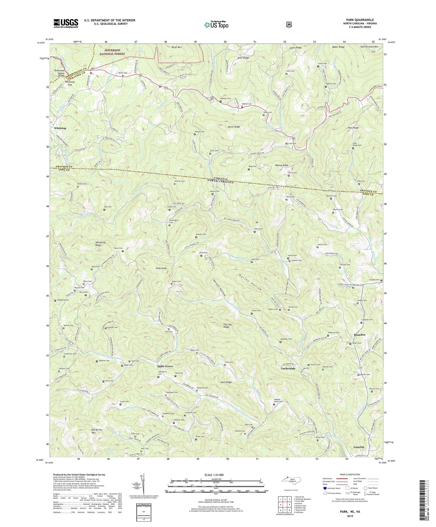
Park North Carolina US Topo Map
Couldn't load pickup availability
Also explore the Park Forest Service Topo of this same quad for updated USFS data
2022 topographic map quadrangle Park in the states of North Carolina, Virginia. Scale: 1:24000. Based on the newly updated USGS 7.5' US Topo map series, this map is in the following counties: Ashe, Grayson, Washington. The map contains contour data, water features, and other items you are used to seeing on USGS maps, but also has updated roads and other features. This is the next generation of topographic maps. Printed on high-quality waterproof paper with UV fade-resistant inks.
Quads adjacent to this one:
West: Grayson
Northwest: Konnarock
North: Whitetop Mountain
Northeast: Trout Dale
East: Grassy Creek
Southeast: Jefferson
South: Warrensville
Southwest: Baldwin Gap
Contains the following named places: Alley Knob, Anderson Cemetery, Apple Grove, Apple Grove Church, Baker Branch, Baldwin Branch, Baldwin Cemetery, Barr Cemetery, Bauguess Cemetery, Bethel Cemetery, Bethel Church, Big Windfall Branch, Blevins Cemetery, Bluff Mountain, Brandon, Brooks Cemetery, Burgess Creek, Byars Cemetery, Byars Creek, Cabin Creek, Calhoun Cemetery, Carpenter Cemetery, Clark Cemetery, Cole Cemetery, Darnell Hollow, Davis Cemetery, Dolinger Cemetery, Eldreth Cemetery, Elliot Cemetery, Fees Branch, Fees Ridge, Fees Ridge Cemetery, Finley Cemetery, Flat Top Ridge, Foster Memorial Church, Friendy Church, Gillespie Church, Gilley Cemetery, Graham Cemetery, Graybeal Cemetery, Greer Branch, Greer Cemetery, Hall Cemetery, Ham Cemetery, Hampton Cemetery, Hart Cemetery, Helton Church, Helton Valley Church, Horse Creek Church, Hurley Cemetery, Hurley Hollow, Husk Post Office, Ivy Grove Church, Kilby Cemetery, Landreth Cemetery, Lansing Elementary School, Little Horse Creek, Little Horse Creek Church, Little Windfall Branch, Long Branch, Lost Branch, Messiah Church, Middle Fork Helton Creek, Middle Fork Horse Creek, Miller Cemetery, Mount Rogers Combined School, Mount Rogers Volunteer Fire Department and Rescue Squad, Mount Zion Church, Mud Creek, Mud Creek School, Nella, Nella Cemetery, New Bethel Church, New Hope Church, North Ridge, Osborne Cemetery, Park, Pennington Cemetery, Perry Cemetery, Pleasant Chapel, Pleasant Hill Church, Pond Mountain Church, Powers Cemetery, Ripshin Branch, Roaring Branch, Roop Cemetery, Sabbath Home Cemetery, Sabbath Home Church, Shepherd Cemetery, South Fork Horse Creek, Stansberry Cemetery, Stuart Cemetery, Sturgill Cemetery, Sturgill Church, Sugar Grove Church, Sullivan Cemetery, Taylor Cemetery, The Tabernacle, Thompson Cemetery, Township of Horse Creek, Township of Hurricane, Township of Piney Creek, Tucker Cemetery, Tuckerdale, Union Church, Upper Helton Church, Walls Cemetery, Walnut Knob, Walters Cemetery, Waters Cemetery, Weaver Cemetery, Whindling Ridge, Whitetop Church, Whitetop Creek, Whitetop Gap, Whitetop Post Office, Wiles Cemetery, Zach Ridge, Zion Hill Church, ZIP Codes: 24292, 28643


