MyTopo
Scotts Hill North Carolina US Topo Map
Couldn't load pickup availability
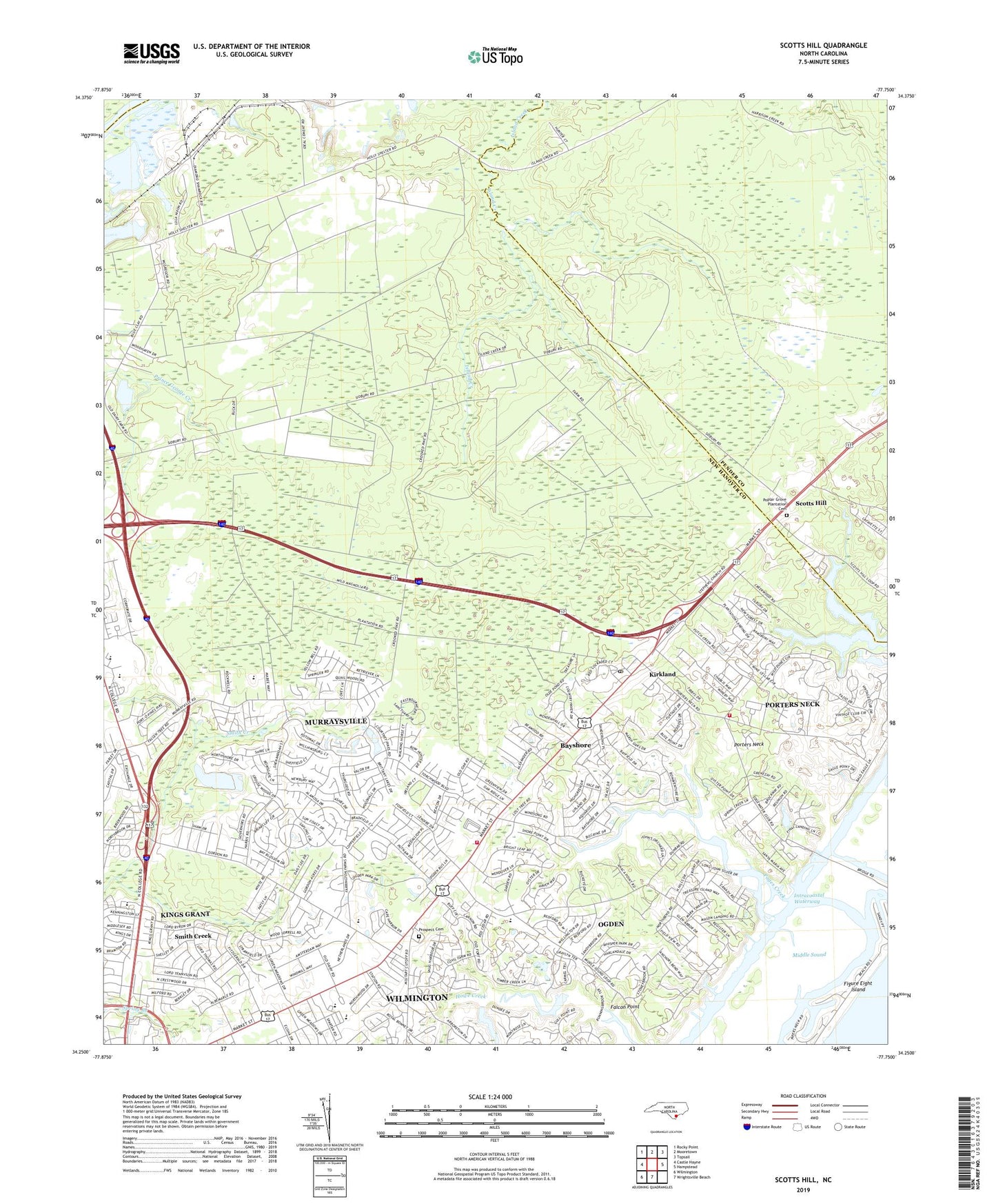
2022 topographic map quadrangle Scotts Hill in the state of North Carolina. Scale: 1:24000. Based on the newly updated USGS 7.5' US Topo map series, this map is in the following counties: New Hanover, Pender. The map contains contour data, water features, and other items you are used to seeing on USGS maps, but also has updated roads and other features. This is the next generation of topographic maps. Printed on high-quality waterproof paper with UV fade-resistant inks.
Quads adjacent to this one:
West: Castle Hayne
Northwest: Rocky Point
North: Mooretown
Northeast: Topsail
East: Hampstead
South: Wrightsville Beach
Southwest: Wilmington
This map covers the same area as the classic USGS quad with code o34077c7.
Contains the following named places: Anchor Baptist Church, Bayshore, Bayshore Census Designated Place, Brandywine, Cape Fear Christian Church, Castle Hayne Quarry, Cornerstone Baptist Church, Corporate Drive Industrial Park, Country Side Mobile Home Park, Covenant Church, D and H Estates Mobile Home Park, Davis Health Care Center, Emmanuel Associate Reformed Presbyterian Church, Emsley A Laney High School, Enoch Chapel Missionary Baptist Church, Falcon Point, Freedom Baptist Church, Grace Baptist Church, Hidden Lakes Mobile Home Park, Highland Pines Mobile Home Park, Howe Creek, Howe Point, James Mobile Home Park, John J Blair Elementary School, K and M Mobile Home Park, Kings Grant, Kings Grant Census Designated Place, Kirkland, Kirkland Census Designated Place, Lutheran Church of Reconciliation, Magnolia Post Office, Market Heights Mobile Home Park, Masons Marina, MCS Noble Middle School, Middle Sound, Middle Sound Church, Murraysville, Murraysville Census Designated Place, New Hanover Fire Rescue Station 14 Porters Neck, New Hanover Fire Rescue Station 16 Ogden, New Hanover Regional Emergency Medical Services Station 1, North Carolina State Highway Patrol Troop B District 6, North Chase Parkway Industrial Park, North Grove Evangelical Presbyterian Church, Northpointe Community Church, Oak Grove Church, Ocean View, Ogden, Ogden Baptist Church, Ogden Census Designated Place, Ogden Elementary School, Pages Creek, Peace Baptist Church, Pineview Mobile Home Park, Poplar Grove Plantation Cemetery, Porters Neck, Porters Neck Census Designated Place, Port-O-Pines Estates, Prospect Cemetery, Queens Point, Scotts Hill, Scotts Hill Baptist Church, Shell Bank, Smith Creek, Stone Mobile Home Park, Stoneybrook, Township of Harnett, Treasure Cove, Triple H Mobile Home Park, Westwood Heights, Wheel Estates Mobile Home Park, WJKA-TV (Wilmington), ZIP Codes: 28405, 28411