MyTopo
Smokemont North Carolina US Topo Map
Couldn't load pickup availability
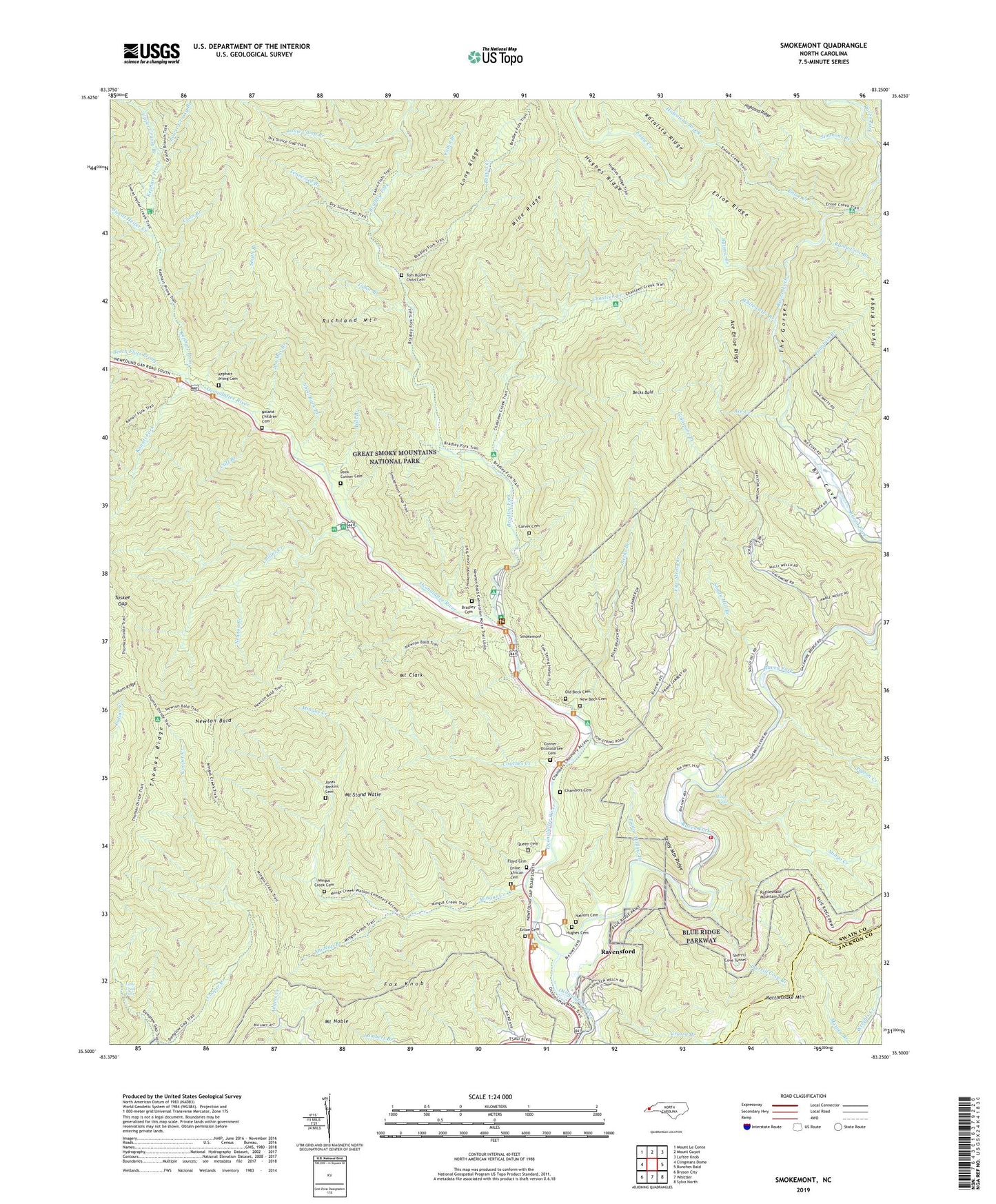
2022 topographic map quadrangle Smokemont in the state of North Carolina. Scale: 1:24000. Based on the newly updated USGS 7.5' US Topo map series, this map is in the following counties: Swain, Jackson. The map contains contour data, water features, and other items you are used to seeing on USGS maps, but also has updated roads and other features. This is the next generation of topographic maps. Printed on high-quality waterproof paper with UV fade-resistant inks.
Quads adjacent to this one:
West: Clingmans Dome
Northwest: Mount Le Conte
North: Mount Guyot
Northeast: Luftee Knob
East: Bunches Bald
Southeast: Sylva North
South: Whittier
Southwest: Bryson City
This map covers the same area as the classic USGS quad with code o35083e3.
Contains the following named places: Ace Creek, Ace Enloe Ridge, Ballhoot Scar Overlook, Batsaw Branch, Bearwallow Branch, Becks Bald, Becks Branch, Beech Flats Prong, Big Cove Church, Big Cove Community, Bradley Cemetery, Bradley Fork, Cabin Branch, Carver Cemetery, Chambers Cemetery, Chasteen Creek, Cherokee Fire Department Station 3, Cliff Branch, Collins Creek, Conner - Oconaluftee Cemetery, Coon Branch, Couches Creek, Dock Conner Cemetery, Enloe African Cemetery, Enloe Cemetery, Enloe Creek, Enloe Ridge, Floyd Cemetery, Fountain Branch, Fox Knob, Galamore Branch, Grassy Branch, Hideaway Brook, Hughes Cemetery, Hunter Creek, Jim Mac Branch, Jonas Jenkins Cemetery, Kanati Fork, Kephart Prong, Kephart Prong Cemetery, Kephart Shelter, Little Creek Falls, Louie Camp Branch, Lower Grassy Branch, Madcap Branch, Mine Ridge, Mingo Creek, Mingo Falls, Mingus Creek, Mingus Creek Cemetery, Mount Clark, Mount Noble, Mount Stand Watie, Nations Cemetery, New Beck Cemetery, Newton Bald, Newton Branch, Noland Children Cemetery, Oconaluftee River Overlook, Oconaluftee Visitor Center, Old Beck Cemetery, Pigeon Creek, Piney Grove Church, Poplar Hollow Branch, Queen Cemetery, Ramp Cove Branch, Rattlesnake Mountain Tunnel, Raven Fork, Raven Fork Overlook, Ravensford, Sequoyah Church, Shell Bark Branch, Sherrill Cove Branch, Sherrill Cove Tunnel, Simmons Branch, Smith Branch, Smokemont, Smokemont Campground, Smokemont Group Camp, Soggy Hill Branch, Stony Mountain Ridge, Straight Fork Church, Sweat Heifer Creek, Tabor Branch, Taywa Creek, Tennessee Branch, The Gorges, Tom Huskey's Child Cemetery, Tow String Church, Tow String Creek, Tow String Horse Camp, Township of Charleston, Tuskee Gap, Upper Grassy Branch, Whitewater Branch, Will Branch, ZIP Code: 28719


