MyTopo
Tabor City West North Carolina US Topo Map
Couldn't load pickup availability
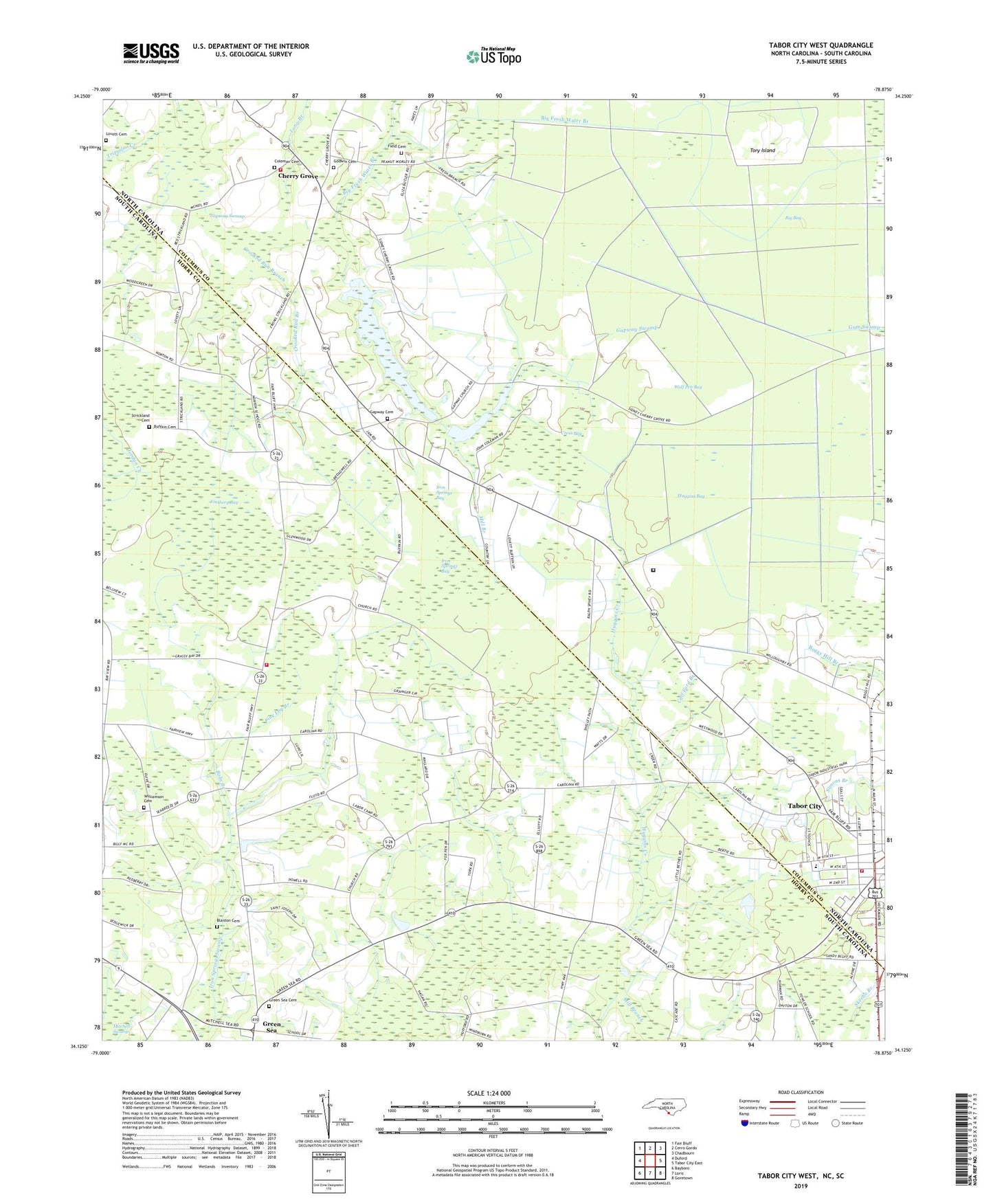
2022 topographic map quadrangle Tabor City West in the states of North Carolina, South Carolina. Scale: 1:24000. Based on the newly updated USGS 7.5' US Topo map series, this map is in the following counties: Columbus, Horry. The map contains contour data, water features, and other items you are used to seeing on USGS maps, but also has updated roads and other features. This is the next generation of topographic maps. Printed on high-quality waterproof paper with UV fade-resistant inks.
Quads adjacent to this one:
West: Duford
Northwest: Fair Bluff
North: Cerro Gordo
Northeast: Chadbourn
East: Tabor City East
Southeast: Goretown
South: Loris
Southwest: Bayboro
Contains the following named places: Big Bay, Big Fresh Water Branch, Blanton Cemetery, Bobs Branch, Buffkin Cemetery, Buffkin Pond, Calf Ford Branch, Carolina School, Carolinas Medical Response, Caroline Church, Central School, Cherry Grove, Cherry Grove Baptist Church, Cherry Grove Fire Station 23, Coleman Cemetery, Crooked Run Branch, Cross Bay, Feathery Bay, Field Cemetery, Fowler School, Gapway Cemetery, Gapway Swamp, Godwin Cemetery, Grassy Bay Church, Grassy Bay Missionary Baptist Church, Grassy Bay School, Green Sea, Green Sea Cemetery, Green Sea Census Designated Place, Green Sea Church, Green Sea-Floyds Middle School, Horry County Fire Department Station 41, Huggins Bay, Huggins Creek, Iron Springs Bay, Little Bethel Church, Little Fresh Water Branch, Long Branch, Lovett Cemetery, Mill Branch, Norton, Norton School, Pine Log Branch, Richardson Pond, Strickland Cemetery, Tabor City, Tabor City Fire Department, Tabor City West Junior High School, Tabor Correctional Institution, Tabor Industrial Park, The County Farm Museum, Tory Island, Trippiloo Creek, Turbeville Airport, Union Missionary Church, Williamson Cemetery, Wolf Pen Bay, ZIP Code: 29545


