MyTopo
Goretown South Carolina US Topo Map
Couldn't load pickup availability
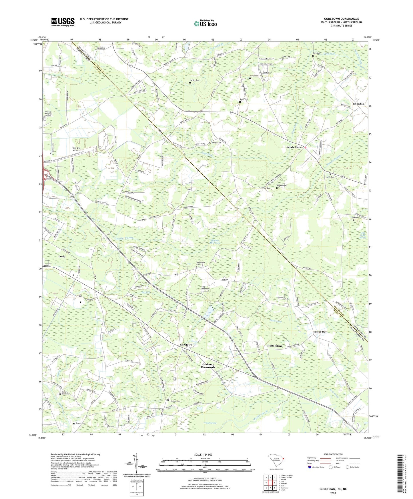
2024 topographic map quadrangle Goretown in the states of South Carolina, North Carolina. Scale: 1:24000. Based on the newly updated USGS 7.5' US Topo map series, this map is in the following counties: Horry, Columbus. The map contains contour data, water features, and other items you are used to seeing on USGS maps, but also has updated roads and other features. This is the next generation of topographic maps. Printed on high-quality waterproof paper with UV fade-resistant inks.
Quads adjacent to this one:
West: Loris
Northwest: Tabor City West
North: Tabor City East
Northeast: Nakina
East: Pireway
Southeast: Longs
South: Hammond
Southwest: Shell
This map covers the same area as the classic USGS quad with code o34078a7.
Contains the following named places: Antioch Cemetery, Carolina Country Club, Cartrette Cemetery, Community Church, Cox Cemetery, Flag Patch Cemetery, Flag Patch Church, Frieds Bay, Glendale Church, Gore Cemetery, Goretown, Grace Christian School, Grahams Crossroads, Hardee Cemetery, Holly Hill Cemetery, Horry County Fire Department Station 26, Hughes Mill Pond, Hulls Island, Hulls Island School, Ironhill Church, Lawn Dale Church, Liberty Temple, Loris Elementary School, Loris High School, Loris Middle School, Macedonia Church, Milligan Cemetery, Norris Cemetery, Northern Pines Golf Club, Oak Dale Baptist Church, Oak Dale School, Piney Grove Church, Prince Cemetery, Reaves Cemetery, Round Swamp, Sandy Plain, Sandy Plain Church, Sheepbridge Branch, Smith Cemetery, Snowhill, Snowhill Church, Soles Cemetery, Springfield Cemetery, Springfield Church, Sweet Gum Church, Sweet Home School, Tabor City Fire Department Substation, Toms Fork, Twin City Airport, Twin City Memorial Gardens, Wild Cattle Swamp, Wright Cemetery, ZIP Code: 28463