
MyTopo
Wanchese North Carolina US Topo Map
Couldn't load pickup availability
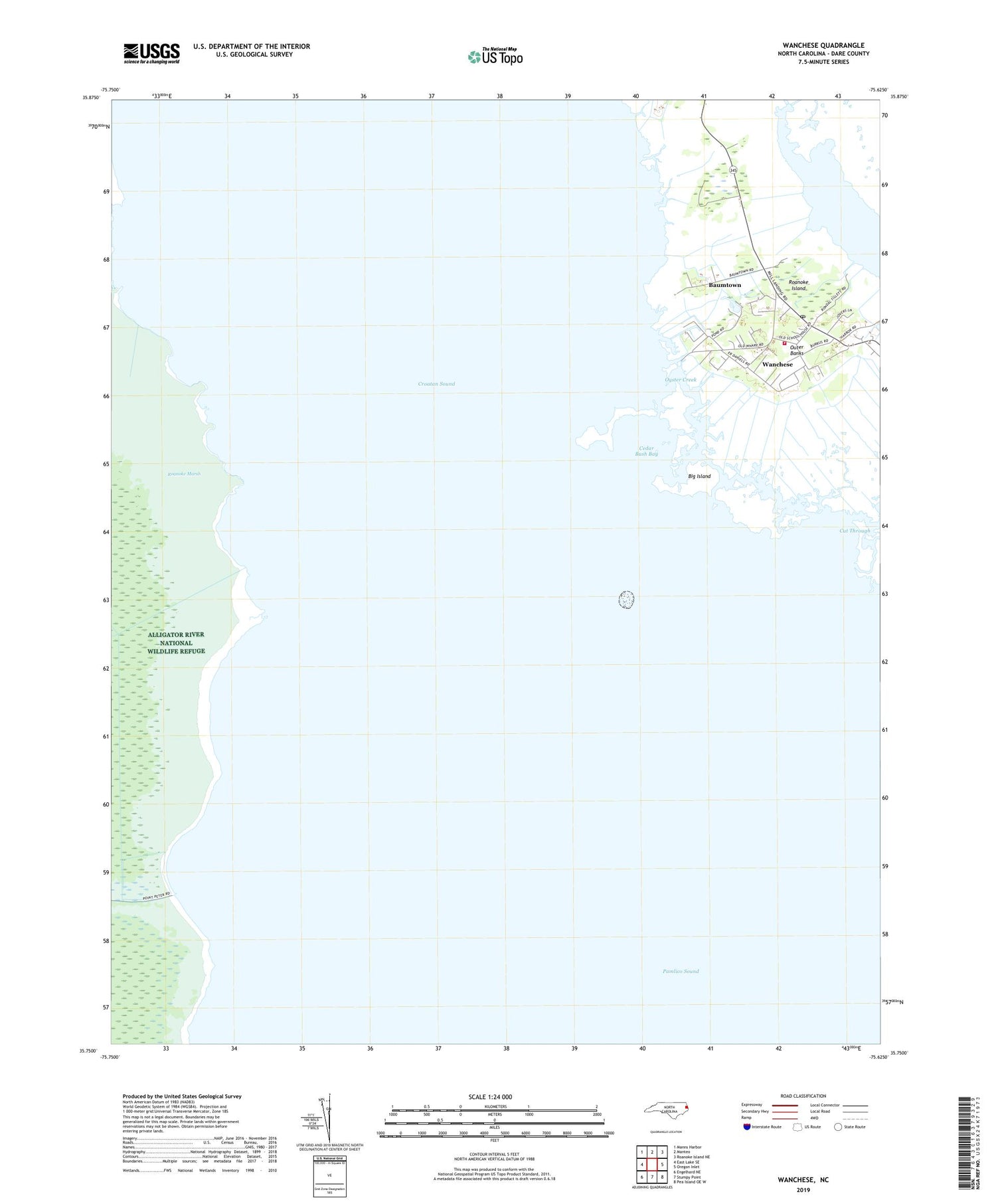
2019 topographic map quadrangle Wanchese in the state of North Carolina. Scale: 1:24000. Based on the newly updated USGS 7.5' US Topo map series, this map is in the following counties: Dare. The map contains contour data, water features, and other items you are used to seeing on USGS maps, but also has updated roads and other features. This is the next generation of topographic maps. Printed on high-quality waterproof paper with UV fade-resistant inks.
Quads adjacent to this one:
West: East Lake SE
Northwest: Manns Harbor
North: Manteo
Northeast: Roanoke Island NE
East: Oregon Inlet
Southeast: Pea Island OE W
South: Stumpy Point
Southwest: Engelhard NE
Contains the following named places: Baum Creek, Baumtown, Bethany Church, Big Island, Callaghan Creek, Cedar Bush Bay, Croatan Sound, Cut Through, Hog Island Creek, Oyster Creek, Roanoke Island Fire Department Station 17 South Station, Roanoke Marshes Lighthouse, Spencer Creek, Wanchese, Wanchese Census Designated Place, Wanchese Post Office, WOBR-AM (Wanchese), WOBR-FM (Wanchese), ZIP Code: 27981


