MyTopo
Waterville North Carolina US Topo Map
Couldn't load pickup availability
Also explore the Waterville Forest Service Topo of this same quad for updated USFS data
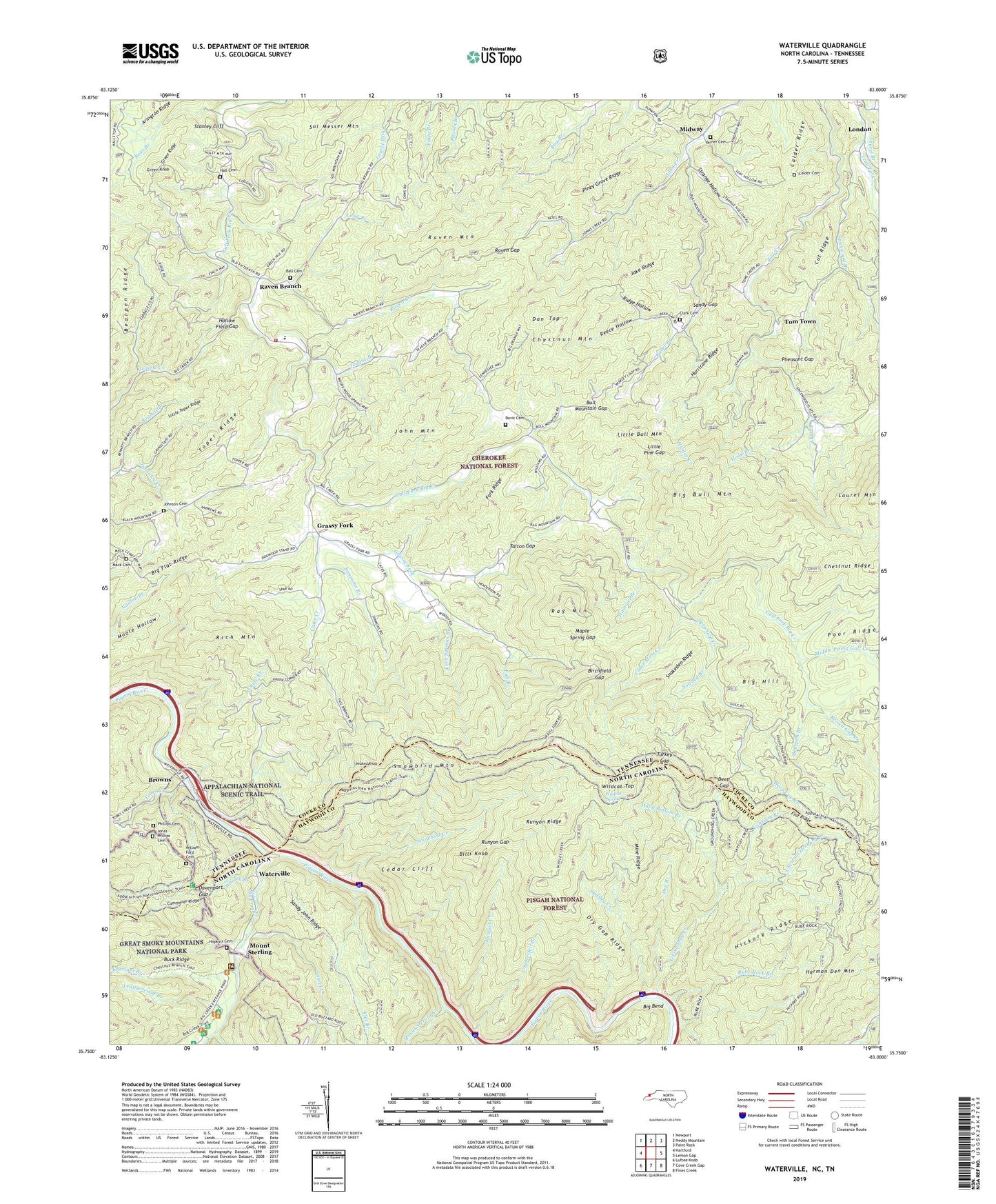
2022 topographic map quadrangle Waterville in the states of Tennessee, North Carolina. Scale: 1:24000. Based on the newly updated USGS 7.5' US Topo map series, this map is in the following counties: Haywood, Cocke. The map contains contour data, water features, and other items you are used to seeing on USGS maps, but also has updated roads and other features. This is the next generation of topographic maps. Printed on high-quality waterproof paper with UV fade-resistant inks.
Quads adjacent to this one:
West: Hartford
Northwest: Newport
North: Neddy Mountain
Northeast: Paint Rock
East: Lemon Gap
Southeast: Fines Creek
South: Cove Creek Gap
Southwest: Luftee Knob
Contains the following named places: Andrews Chapel, Baker Branch, Ball Cemetery, Bear Branch, Bearpen Branch, Bell Hill School, Bennett Branch, Big Bend, Big Branch, Big Bull Mountain, Big Creek, Big Creek Campground, Big Creek Group Camp, Big Creek Horse Camp, Big Flat Ridge, Big Hill, Bills Knob, Birchfield Gap, Black School, Black's Chapel Missionary Baptist Church, Brown Gap Creek, Browns, Buck Ridge, Bull Mountain Gap, Calder Cemetery, Calder Ridge, Camp Moss Creek, Cates Creek, Cedar Cliff, Cherokee National Forest, Chestnut Branch, Chestnut Mountain, Chestnut Orchard Branch, Chute Branch, Clark Cemetery, Cogdill Chapel, Commissioner District 1, Counterfeit Branch, Crestmont, Cut Ridge, Dan Top, Davenport Gap, Davenport Gap Shelter, Davis Cemetery, Deep Gap, Deep Gap Church, Deep Gap Creek, Deep Gap Shelter, Dry Branch, Dry Gap Ridge, Ephraim Branch, Fall Branch, Fern Springs Branch, Flat Branch, Flat Ridge, Fork Ridge, Grassy Fork, Grassy Fork Elementary School, Grassy Fork Volunteer Fire Department, Green Knob, Green Ridge, Groundhog Creek, Hall Cemetery, Harmon Den Mountain, Hickory Ridge, Hollow Field Gap, Holly Bottom Branch, Hood Branch, Hootowl Branch, Hopkins Cemetery, Hunter Creek, Hurricane Ridge, Jake Ridge, John Mountain, Johnson Cemetery, Jonas Phillips Cemetery, Junction, Lamb Gulf, Laurel Branch, Laurel Creek, Laws, Laws School, Leatherwood Branch, Little Bull Mountain, Little Pine Gap, Little Toper Ridge, Locust Thorn Ridge, London, Long Branch, Mack Cemetery, Maple Spring Gap, Middle Prong Gulf Creek, Midway, Midway School, Mine Ridge, Moore Hollow, Mount Sterling, Mount Sterling Creek, Naillon, New Prospect Baptist Church, New Prospect School, Oak Grove School, Over Mountain School, Painter Branch, Peaked Knob, Pheasant Gap, Phillips Cemetery, Piney Grove Church, Piney Grove Ridge, Puncheon Camp Branch, Rag Mountain, Raven Branch, Raven Gap, Raven Mountain, Reece Hollow, Rich Mountain, Ridge Hollow, Rube Rock Branch, Runyon Creek, Runyon Gap, Runyon Ridge, Sandy Gap, Sandy John Ridge, Simmons Branch, Skiffley Creek, Snakeden Ridge, Snowbird Creek, Snowbird Mountain, Sol Messer Mountain, Sowbed Branch, Spicewood Branch, Stanley Cliff, Strange Hollow, Talton Gap, Teague Branch, Tobes Creek, Tom Hall Branch, Tom Town, Toper Ridge, Turkey Gap, Varner Cemetery, Waterville, Waterville School, Whaley Branch, Wildcat Spring, Wildcat Top, William Ford Cemetery, Zion Church, ZIP Code: 37753


