MyTopo
Mekinock North Dakota US Topo Map
Couldn't load pickup availability
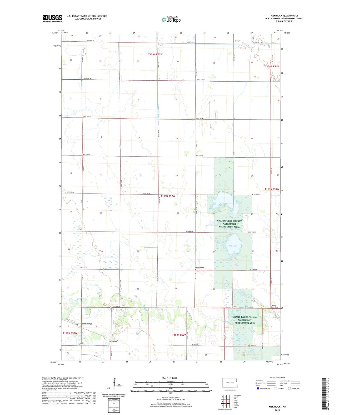
2024 topographic map quadrangle Mekinock in the state of North Dakota. Scale: 1:24000. Based on the newly updated USGS 7.5' US Topo map series, this map is in the following counties: Grand Forks. The map contains contour data, water features, and other items you are used to seeing on USGS maps, but also has updated roads and other features. This is the next generation of topographic maps. Printed on high-quality waterproof paper with UV fade-resistant inks.
Quads adjacent to this one:
West: Gilby
Northwest: Forest River
North: Ardoch
East: Manvel
Southeast: Kelly
South: Emerado
Southwest: Arvilla
This map covers the same area as the classic USGS quad with code o48097a3.
Contains the following named places: County Ditch Number 12, Grand Forks County Waterfowl Production Area, Lakeville Cemetery, Lakeville Town Hall, Lunby Lake, Mekinock, Mekinock Post Office, Mekinock School, Middle Grove Cemetery, Middle Grove Church, Ness Church, Ness Lutheran Church Cemetery, Stewart Lake, Township of Lakeville, ZIP Code: 58258