MyTopo
Attica Ohio US Topo Map
Couldn't load pickup availability
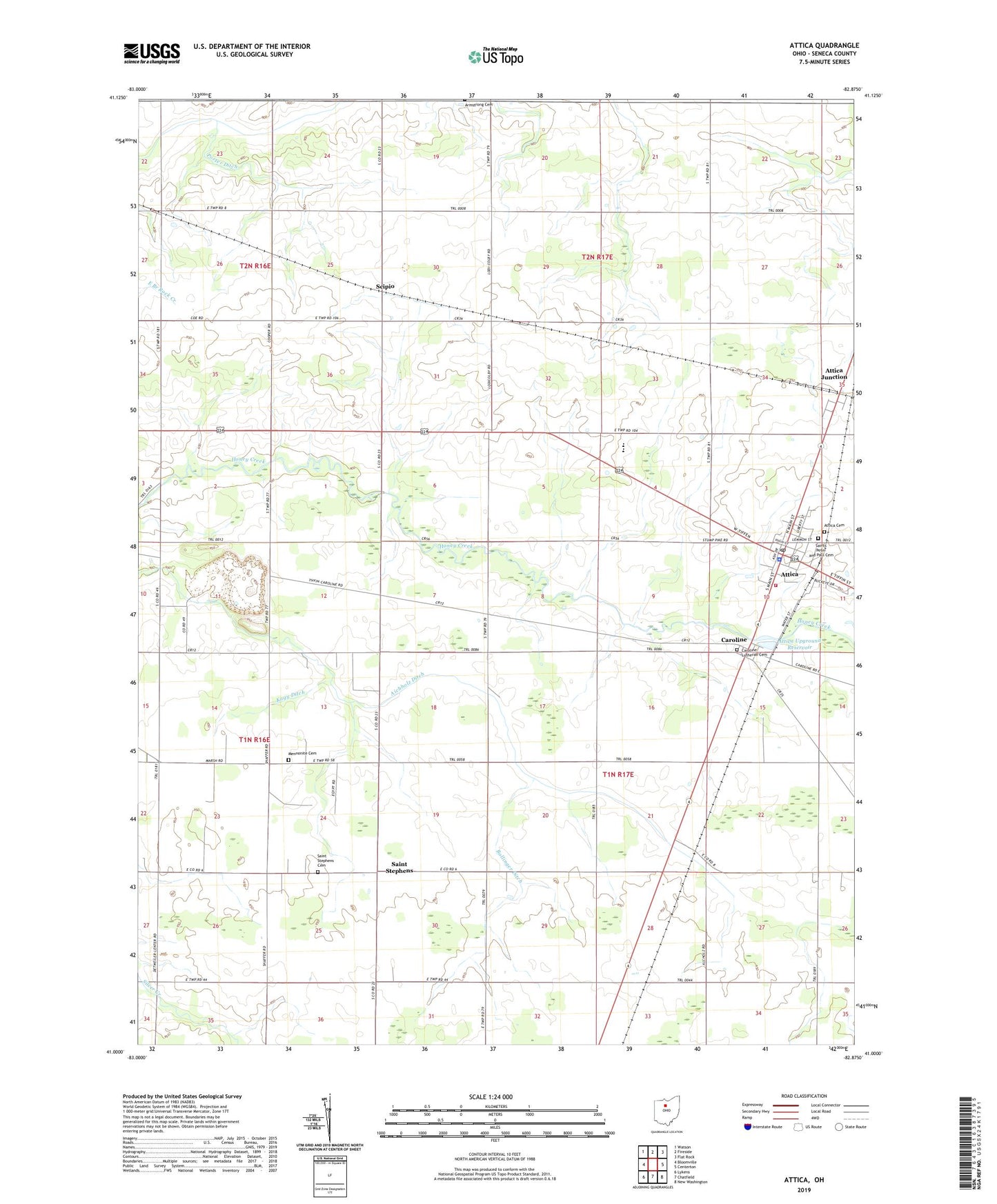
2023 topographic map quadrangle Attica in the state of Ohio. Scale: 1:24000. Based on the newly updated USGS 7.5' US Topo map series, this map is in the following counties: Seneca. The map contains contour data, water features, and other items you are used to seeing on USGS maps, but also has updated roads and other features. This is the next generation of topographic maps. Printed on high-quality waterproof paper with UV fade-resistant inks.
Quads adjacent to this one:
West: Bloomville
Northwest: Watson
North: Fireside
Northeast: Flat Rock
East: Centerton
Southeast: New Washington
South: Chatfield
Southwest: Lykens
This map covers the same area as the classic USGS quad with code o41082a8.
Contains the following named places: Aichholz Ditch, Attica, Attica - Venice - Reed Fire District, Attica Cemetery, Attica Elementary School, Attica Junction, Attica Police Department, Attica Post Office, Attica Upground Reservoir, Attica Upground Reservoir Dam, Bloomville Quarry, Bollinger Ditch, Caroline, Caroline Lutheran Cemetery, Caroline Post Office, Crabapple School, Hedden Ditch, Kagy Ditch, Lehman School, Mennonite Cemetery, Porter Ditch, Rice School, Rogers School, Saint Stephen Post Office, Saint Stephens, Saint Stephens Cemetery, Saints Peter and Paul Cemetery, Sanford School, School Number 1, School Number 3, School Number 7, School Number 9, Scipio, Shriner Ditch, Siam, Siam Post Office, South Reed Church, Township of Reed, Township of Venice, Village of Attica, Worm School, ZIP Code: 44807