MyTopo
Byington Ohio US Topo Map
Couldn't load pickup availability
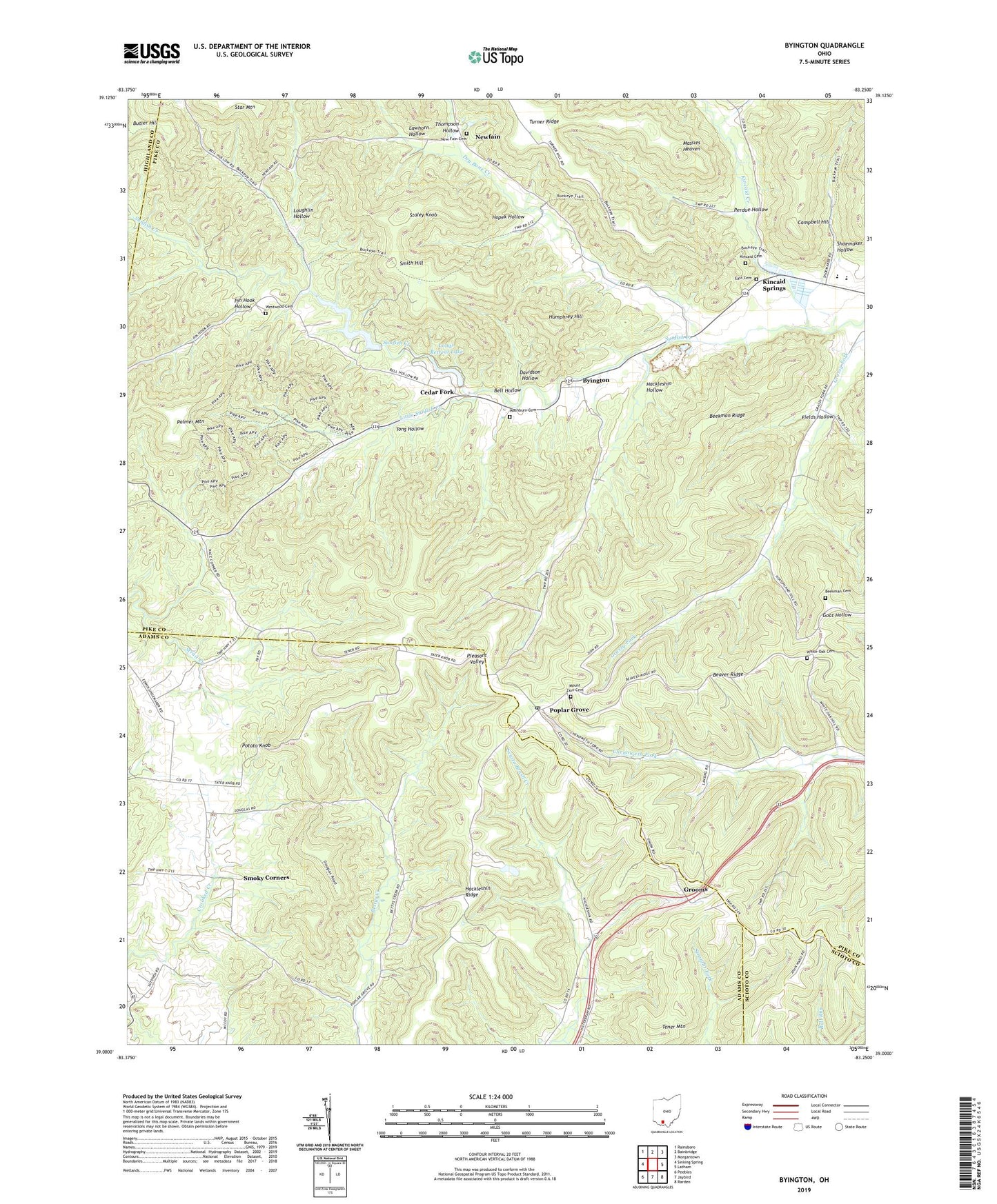
2023 topographic map quadrangle Byington in the state of Ohio. Scale: 1:24000. Based on the newly updated USGS 7.5' US Topo map series, this map is in the following counties: Pike, Adams, Scioto, Highland. The map contains contour data, water features, and other items you are used to seeing on USGS maps, but also has updated roads and other features. This is the next generation of topographic maps. Printed on high-quality waterproof paper with UV fade-resistant inks.
Quads adjacent to this one:
West: Sinking Spring
Northwest: Rainsboro
North: Bainbridge
Northeast: Morgantown
East: Latham
Southeast: Rarden
South: Jaybird
Southwest: Peebles
This map covers the same area as the classic USGS quad with code o39083a3.
Contains the following named places: Beaver Ridge, Beekman Cemetery, Beekman Ridge, Bell Hollow, Butler Hill, Byington, Byington Post Office, Campbell Hill, Cave Lake, Cave Lake Dam, Cedar Fork, Davidson Hollow, Dry Bone Creek, Dry Bone School, East Cemetery, Edendale School, Fields Hollow, Ford Quarry, Grassy Fork School, Grooms, Hackleshin Hollow, Hackleshin Ridge, Hackleshin School, Hilderbran School, Holmes School, Hopek Hollow, Humphrey Hill, Kincaid Cemetery, Kincaid Creek, Kincaid Springs, Kincaid Springs State Fish Hatchery, Laughlin Hollow, Lawhorn Hollow, Little Sunfish Creek, Longs Retreat Dam, Longs Retreat Lake, Lowman School, Massies Heaven, Mount Zion Cemetery, Mount Zion Church, Nace Corner, New Fain Cemetery, New Fain Community Church, Newfain, Newfain Post Office, Palmer Mountain, Perdue Hollow, Pin Hook Hollow, Pleasant Valley School, Poplar Grove, Poplargrove Post Office, Potato Knob, Shoemaker Hollow, Smith Hill, Smoky Corners, Smoky Corners School, Staley Knob, Star Mountain, Tener Mountain, Thompson Hollow, Tong Hollow, Township of Mifflin, Union Hill Church, Washburn Cemetery, West Wood Church, Westwood Cemetery, White Oak Cemetery, White Oak Church, ZIP Code: 45646


