MyTopo
Jaybird Ohio US Topo Map
Couldn't load pickup availability
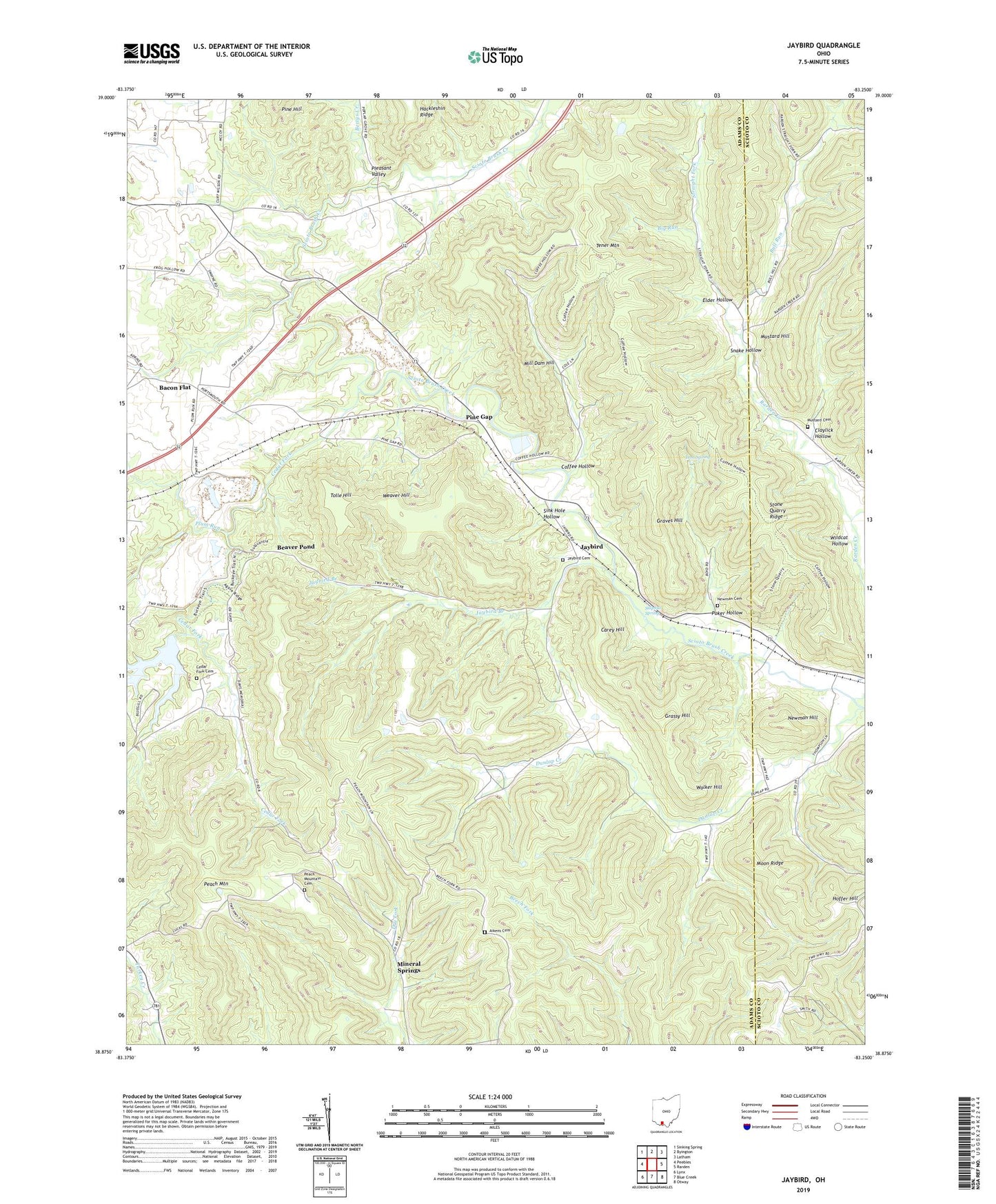
2023 topographic map quadrangle Jaybird in the state of Ohio. Scale: 1:24000. Based on the newly updated USGS 7.5' US Topo map series, this map is in the following counties: Adams, Scioto. The map contains contour data, water features, and other items you are used to seeing on USGS maps, but also has updated roads and other features. This is the next generation of topographic maps. Printed on high-quality waterproof paper with UV fade-resistant inks.
Quads adjacent to this one:
West: Peebles
Northwest: Sinking Spring
North: Byington
Northeast: Latham
East: Rarden
Southeast: Otway
South: Blue Creek
Southwest: Lynx
This map covers the same area as the classic USGS quad with code o38083h3.
Contains the following named places: Adams Quarry, Aikens Cemetery, Bacon Flat, Bacon Flat School, Beaver Pond, Beaverpond Post Office, Bettys Creek, Big Run, Bull Run, Burns Chapel, Carey Hill, Cedar Fork, Cedar Fork Cemetery, Cedar Fork Church, Claylick Hollow, Coffee Hollow, Davis Memorial Nature Preserve, Dry Fork, Dunlap Church, Dunlap Creek, Dunlap School, Elder Hollow, General Electric Airport, Grassy Hill, Graves Hill, Iron Spring, Jaybird, Jaybird Branch, Jaybird Cemetery, Jaybird Post Office, Mill Dam Hill, Mineral Springs, Mineral Springs Lake, Mineral Springs Lake Dam, Mineral Springs Post Office, Mineral Springs Station, Moon Ridge, Mustard Cemetery, Mustard Hill, Newman Cemetery, Newman Hill, O'Bryant School, Peach Mountain, Peach Mountain Cemetery, Peach Mountain Church, Peach Mountain School, Pine Gap, Pine Hill, Pleasant Valley, Plum Run, Poker Hollow, Rarden Creek, Sink Hole Hollow, Snake Hollow, Stone Branch, Stone Quarry Ridge, Straight Fork, Sulphur Spring, Tolle Hill, Township of Franklin, Turkey Creek Church, Walker Hill, Weaver Hill, Wildcat Hollow, ZIP Code: 45660